
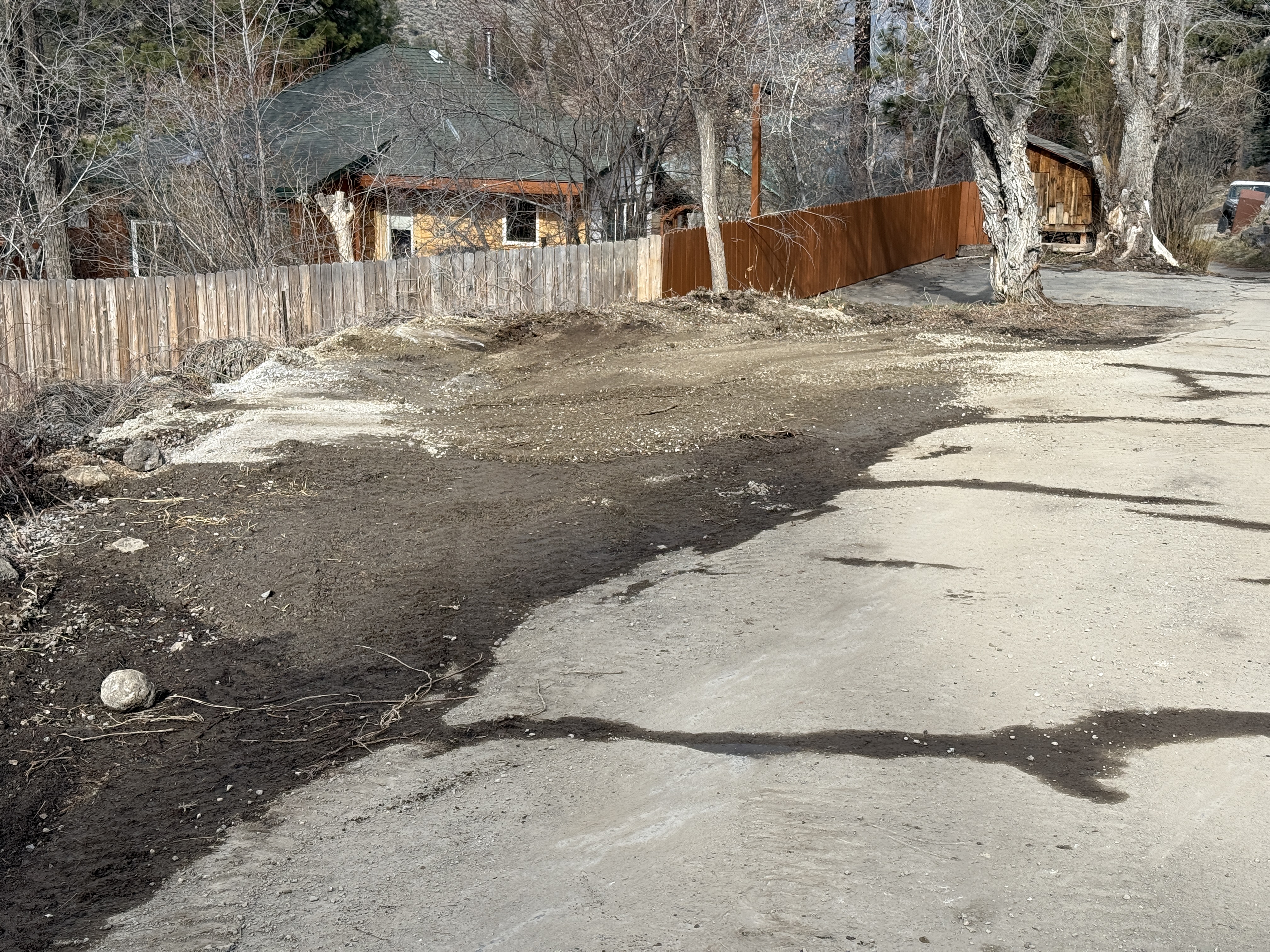
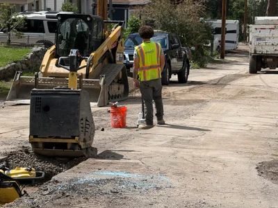
No caption
IMG_2727.JPG
Details
39.39489, -120.02134· 1655m
Location Context
1 / 5
USGS Topo
No elevation data
FEMA Flood
No flood data
OSM Infra
No address data
USDA Soil
No soil data
USGS Hydro
No hydro data
Show all EXIF (43 fields)
AI Analysis
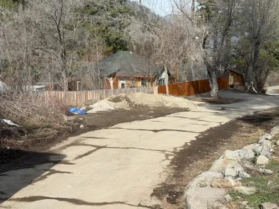
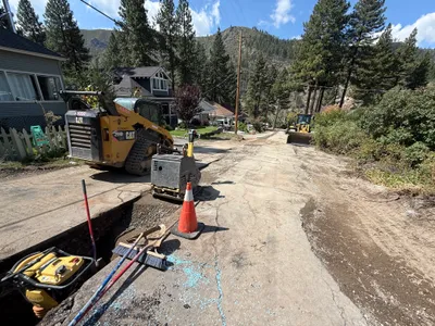
In the image, there is an uneven dirt surface in the foreground, with patches of gravel observable along the path. A wooden fence lines the left side of the path, and a house is visible in the background. The absence of visible construction equipment or active personnel is noted. The area might be part of an erosion control setup under the SWPPP plan, but no control measures are confirmed visually.
AI Tags
Analyzed Apr 21, 2026
Nearby Photos
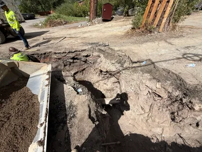
1m
trenching
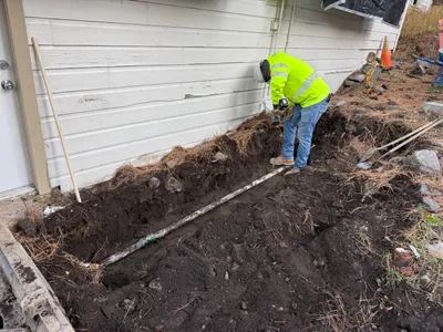
4m
trenching
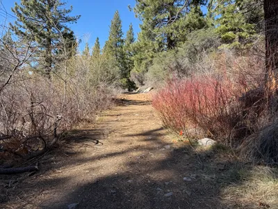
6m
other
8m
swppp erosion control
10m
excavation
10m
other
11m
trenching
11m
site grading
11m
trenching
12m
trenching