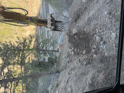
No caption
IMG_7681.JPG
Details
Thursday, May 8, 2025 · 2:21 PM
39.39194, -120.02199· 1649m
Location Context
1 / 5
USGS Topo
No elevation data
FEMA Flood
No flood data
OSM Infra
No address data
USDA Soil
No soil data
USGS Hydro
No hydro data
Apple iPhone 16 Pro
iPhone 16 Pro back triple camera 6.765mm f/1.78
6.764999865652793mmf/1.7799999713880651/1174sISO 80
Flash did not fire, compulsory flash mode
Show all EXIF (43 fields)
ApertureValue1.6638
BrightnessValue7.7861
ColorSpace65535
CompositeImageGeneral Composite Image
ExifImageHeight4284
ExifVersion2.3.2
ExposureCompensation0
ExposureModeAuto
ExposureProgramNormal program
FlashpixVersion1.0
FocalLengthIn35mmFormat24
GPSDateStamp2025:05:08
GPSDestBearing246.6910
GPSDestBearingRefTrue North
GPSHPositioningError2.8249
GPSImgDirection246.6910
GPSImgDirectionRefT
GPSSpeed1.1515
GPSSpeedRefK
GPSTimeStamp21:21:34
HostComputeriPhone 16 Pro
latitude39.3919
LensInfo2.2200, 15.6600, 1.7800, 2.8000
LensMakeApple
longitude-120.0220
MeteringModePattern
ModifyDate2025-05-08T14:21:35.000Z
OffsetTime-07:00
OffsetTimeDigitized-07:00
OffsetTimeOriginal-07:00
ResolutionUnitinches
SceneCaptureTypeStandard
SceneTypeDirectly photographed
SensingMethodOne-chip color area sensor
ShutterSpeedValue10.1969
Software18.5
SubjectArea{"0":2851,"1":2137,"2":3141,"3":1884}
SubSecTimeDigitized230
SubSecTimeOriginal230
WhiteBalanceAuto
XResolution72
YCbCrPositioning1
YResolution72
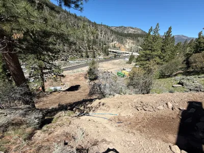
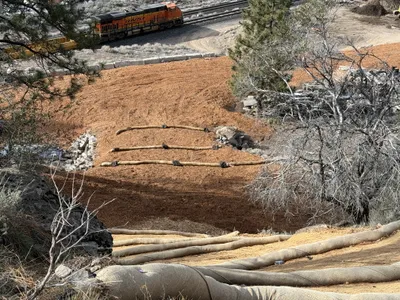
AI Analysis
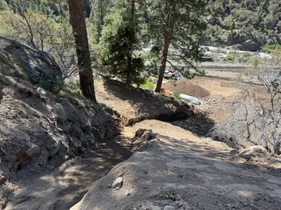
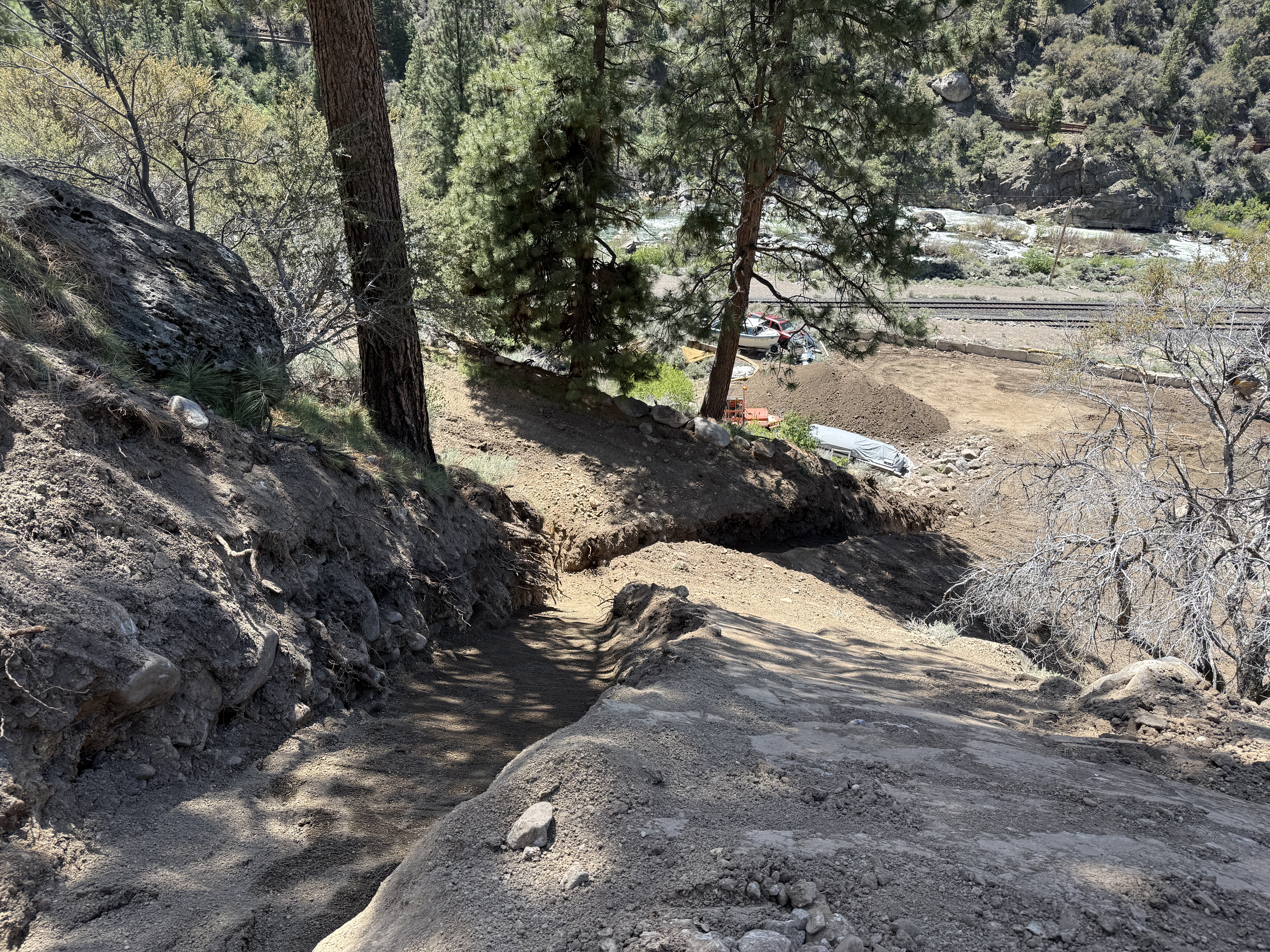
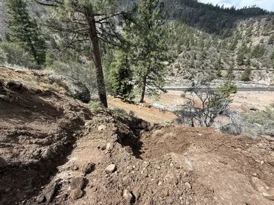
The image shows a sloped dirt pathway with soil cut into the terrain, flanked by trees and rocky surfaces. In the distance, construction materials and vehicles are visible near a river. The main work area appears to be further down the slope, suggesting active site grading or excavation nearby.
site-grading
loose soil with rocky sections daylight conditions limited access due to slope
Safety features are not visible in frame, uneven ground may be a hazard.
Analyzed Apr 21, 2026
Nearby Photos
2m
trenching
trenchingexcavation-work
soil
3m
trenching
caution-tape-placementcaution-tape
3m
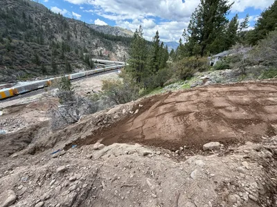
site grading
site-gradingclearing
soil
4m
site grading
site-gradingsoil
soil
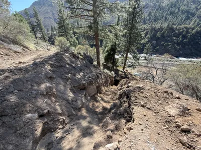
4m
trenching
trenchinghillside-trenching
soil
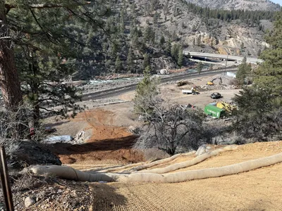
4m
swppp erosion control
erosion-controlerosion-control-mat
digger
5m
swppp erosion control
erosion-controlswppp-compliance
train
5m
trenching
trenchingexcavating
excavator
5m
trenching
trenchingsite-grading
5m
trenching
trenchingconduit-installation
hand tools