
No caption
IMG_9695.JPG
Details
Monday, August 25, 2025 · 11:49 AM
39.39475, -120.02122· 1657m
Location Context
1 / 5
USGS Topo
No elevation data
FEMA Flood
No flood data
OSM Infra
No address data
USDA Soil
No soil data
USGS Hydro
No hydro data
Apple iPhone 16 Pro
iPhone 16 Pro back triple camera 15.66mm f/2.8
15.659999847383mmf/2.81/115sISO 64
Flash did not fire, compulsory flash mode
Show all EXIF (44 fields)
ApertureValue2.9709
BrightnessValue5.6963
ColorSpace65535
CompositeImageGeneral Composite Image
DigitalZoomRatio1.0013
ExifImageHeight3024
ExifVersion2.3.2
ExposureCompensation0
ExposureModeAuto
ExposureProgramNormal program
FlashpixVersion1.0
FocalLengthIn35mmFormat120
GPSDateStamp2025:08:25
GPSDestBearing269.8103
GPSDestBearingRefTrue North
GPSHPositioningError14.3360
GPSImgDirection269.8103
GPSImgDirectionRefT
GPSSpeed1.9560
GPSSpeedRefK
GPSTimeStamp18:49:57
HostComputeriPhone 16 Pro
latitude39.3947
LensInfo2.2200, 15.6600, 1.7800, 2.8000
LensMakeApple
longitude-120.0212
MeteringModePattern
ModifyDate2025-08-25T11:49:57.000Z
OffsetTime-07:00
OffsetTimeDigitized-07:00
OffsetTimeOriginal-07:00
ResolutionUnitinches
SceneCaptureTypeStandard
SceneTypeDirectly photographed
SensingMethodOne-chip color area sensor
ShutterSpeedValue6.8458
Software18.6.1
SubjectArea{"0":2001,"1":1494,"2":2207,"3":1335}
SubSecTimeDigitized992
SubSecTimeOriginal992
WhiteBalanceAuto
XResolution72
YCbCrPositioning1
YResolution72
AI Analysis
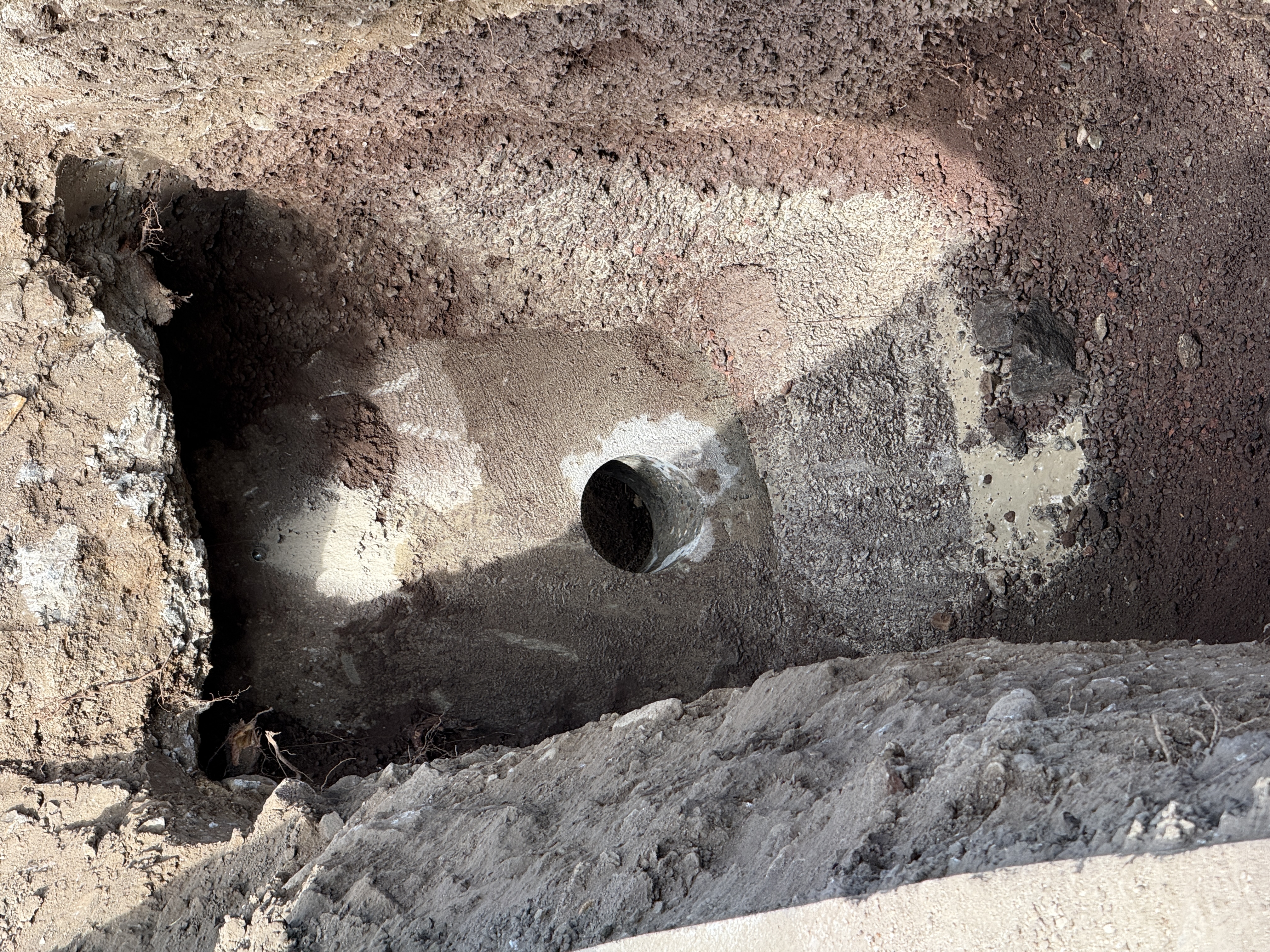
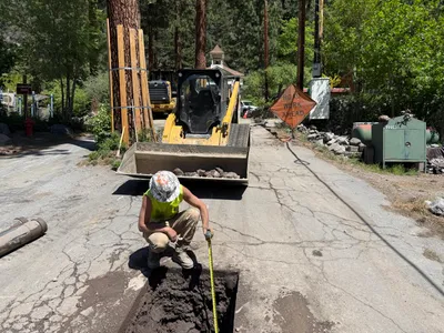
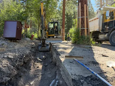
The image depicts an excavation site with an exposed concrete wall. A circular hole can be seen in the wall, suggesting it may serve for piping or another utility connection. The soil around the area is partially removed, exposing the wall. The surrounding area consists of mixed soil textures.
excavation
exposed soil and concrete, varied textures natural daylight with partial shadows open access for further excavation
Safety features are not visible in frame.
Equipment & Materials
Analyzed Apr 21, 2026
Nearby Photos
1m
pipeline installation
conduit-installationtrenching
excavator
1m
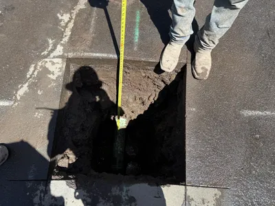
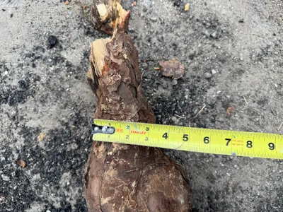
excavation
pothole-measuringutility-locating
tape-measure
1m
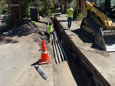
trenching
trenchingtrench
excavator
1m
other
pothole-utility-locatingpothole
skid-steer loader
2m
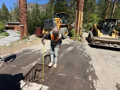
excavation
pothole-utility-locatingmeasuring-depth
measuring tape
2m
excavation
pothole-measurementpothole
backhoe-loader
2m
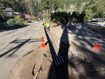
trenching
trenchingconduit-installation
granular material
2m
trenching
trenchingexcavation
backhoe
3m
other
measurementmeasuring-tape
measuring-tape
3m
trenching
trenchingconduit-installation
track-loader