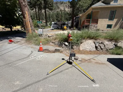
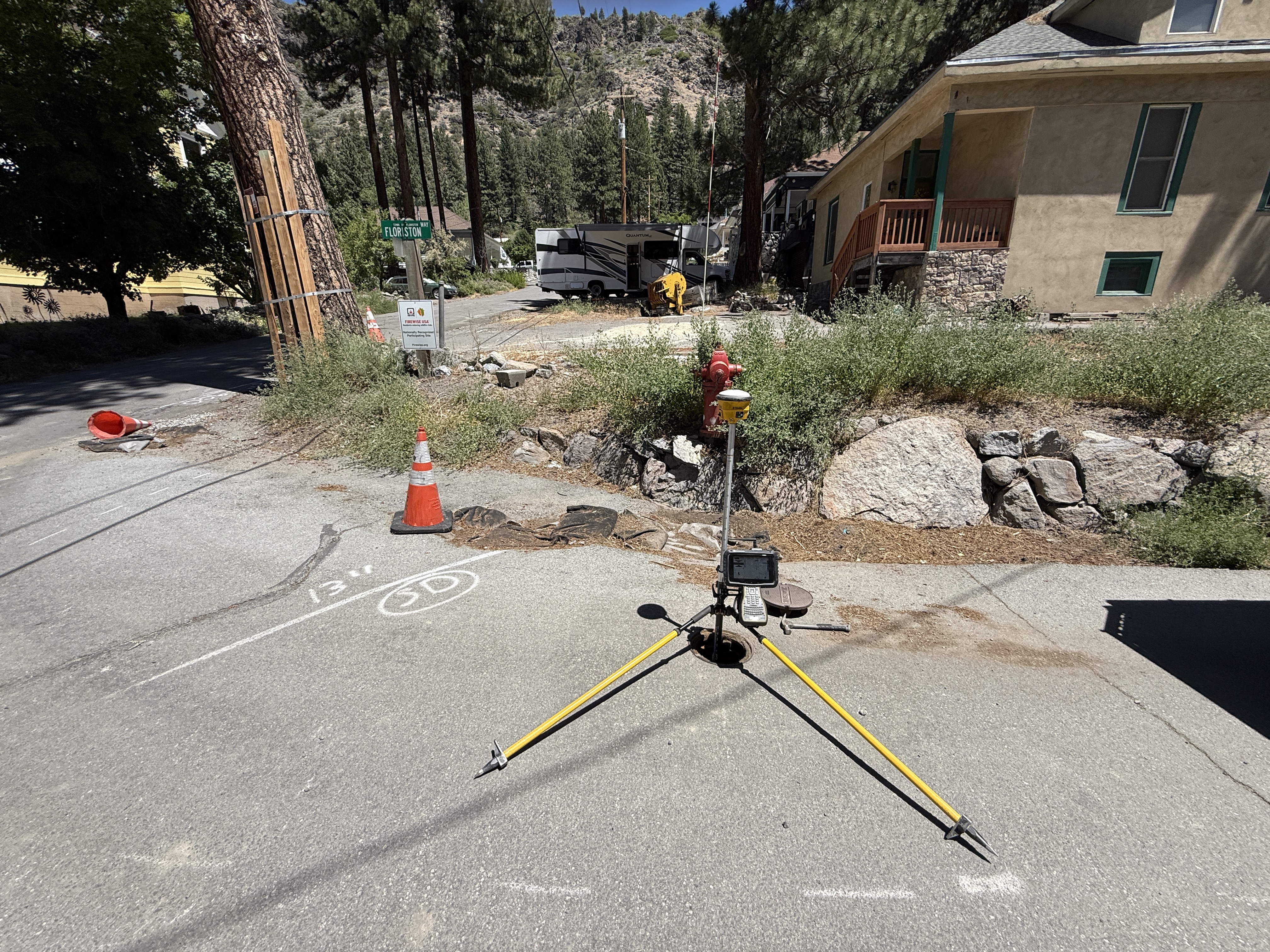
No caption
IMG_8691.JPG
Details
Wednesday, July 9, 2025 · 1:47 PM
39.39459, -120.02261· 1639m
Location Context
1 / 5
USGS Topo
No elevation data
FEMA Flood
No flood data
OSM Infra
No address data
USDA Soil
No soil data
USGS Hydro
No hydro data
Apple iPhone 16 Pro
iPhone 16 Pro back triple camera 2.22mm f/2.2
2.220000028611935mmf/2.21/2024sISO 50
Flash did not fire, compulsory flash mode
Show all EXIF (43 fields)
ApertureValue2.2750
BrightnessValue9.9156
ColorSpace65535
CompositeImageGeneral Composite Image
ExifImageHeight3024
ExifVersion2.3.2
ExposureCompensation0
ExposureModeAuto
ExposureProgramNormal program
FlashpixVersion1.0
FocalLengthIn35mmFormat14
GPSDateStamp2025:07:09
GPSDestBearing216.0597
GPSDestBearingRefTrue North
GPSHPositioningError4.8951
GPSImgDirection216.0597
GPSImgDirectionRefT
GPSSpeed0.0333
GPSSpeedRefK
GPSTimeStamp20:47:41
HostComputeriPhone 16 Pro
latitude39.3946
LensInfo2.2200, 15.6600, 1.7800, 2.8000
LensMakeApple
longitude-120.0226
MeteringModePattern
ModifyDate2025-07-09T13:47:41.000Z
OffsetTime-07:00
OffsetTimeDigitized-07:00
OffsetTimeOriginal-07:00
ResolutionUnitinches
SceneCaptureTypeStandard
SceneTypeDirectly photographed
SensingMethodOne-chip color area sensor
ShutterSpeedValue10.9832
Software18.5
SubjectArea{"0":2000,"1":1511,"2":2217,"3":1330}
SubSecTimeDigitized961
SubSecTimeOriginal961
WhiteBalanceAuto
XResolution72
YCbCrPositioning1
YResolution72
AI Analysis
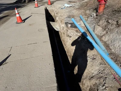
The image shows a survey tripod with an electronic device set up on a pavement near a fire hydrant. Two traffic cones are placed on the ground near the survey equipment. There's visible pavement chalk marking and a tilted traffic cone on the left side. Surrounding vegetation and rocks are present near a house and along the sidewalk.
survey-layout
paved surface with chalk markings sunny day with good visibility equipment set up on pavement with accessible area
Traffic cones are used for controlling pedestrian or vehicle access around the survey area.
Equipment & Materials
Analyzed Apr 21, 2026
Nearby Photos
1m
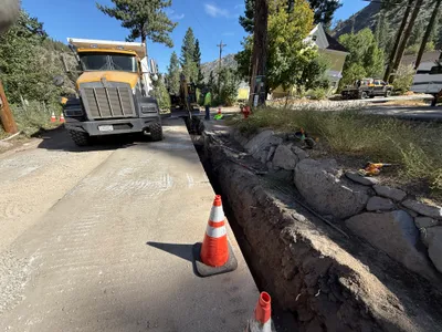
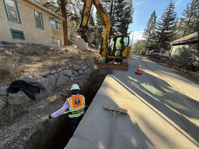
trenching
trenchingroad-work
large-truck
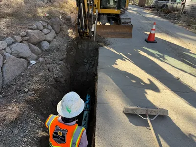
1m
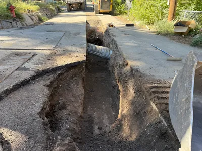
trenching
trenchingpipe-installation
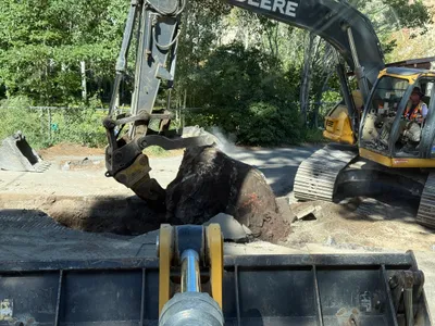
excavator
2m
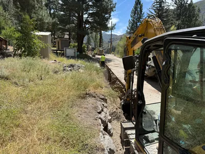
trenching
trenchingutility-installation
pipes
2m
trenching
trenchingexcavation
excavator
3m
trenching
trenchingexcavation-work
excavator
3m
trenching
trenchingpipe-installation
excavator
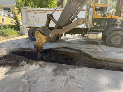
3m
excavation
excavationearth-moving
excavator
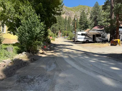
3m
site grading
site-accessparking
rv
3m
excavation
jackhammeringconcrete-breaking
excavator
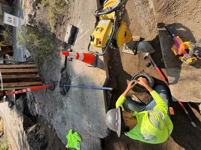
3m
pipeline installation
pipe-fittingtrench-work
plate-compactor