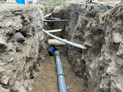
No caption
IMG_0225.JPG
Details
Tuesday, September 16, 2025 · 11:44 AM
39.39448, -120.02171· 1659m
Location Context
1 / 5
USGS Topo
No elevation data
FEMA Flood
No flood data
OSM Infra
No address data
USDA Soil
No soil data
USGS Hydro
No hydro data
Apple iPhone 16 Pro
iPhone 16 Pro back triple camera 6.765mm f/1.78
6.764999865652793mmf/1.7799999713880651/1901sISO 80
Flash did not fire, compulsory flash mode
Show all EXIF (44 fields)
ApertureValue1.6638
BrightnessValue8.3140
ColorSpace65535
CompositeImageGeneral Composite Image
DigitalZoomRatio1.0014
ExifImageHeight4284
ExifVersion2.3.2
ExposureCompensation0
ExposureModeAuto
ExposureProgramNormal program
FlashpixVersion1.0
FocalLengthIn35mmFormat24
GPSDateStamp2025:09:16
GPSDestBearing112.3259
GPSDestBearingRefTrue North
GPSHPositioningError24.3170
GPSImgDirection112.3259
GPSImgDirectionRefT
GPSSpeed0
GPSSpeedRefK
GPSTimeStamp18:44:29
HostComputeriPhone 16 Pro
latitude39.3945
LensInfo2.2200, 15.6600, 1.7800, 2.8000
LensMakeApple
longitude-120.0217
MeteringModePattern
ModifyDate2025-09-16T11:44:32.000Z
OffsetTime-07:00
OffsetTimeDigitized-07:00
OffsetTimeOriginal-07:00
ResolutionUnitinches
SceneCaptureTypeStandard
SceneTypeDirectly photographed
SensingMethodOne-chip color area sensor
ShutterSpeedValue10.8926
Software26.0
SubjectArea{"0":2849,"1":2142,"2":3146,"3":1883}
SubSecTimeDigitized910
SubSecTimeOriginal910
WhiteBalanceAuto
XResolution72
YCbCrPositioning1
YResolution72
AI Analysis
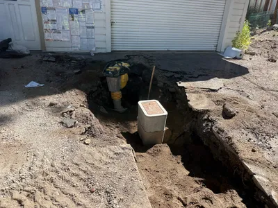
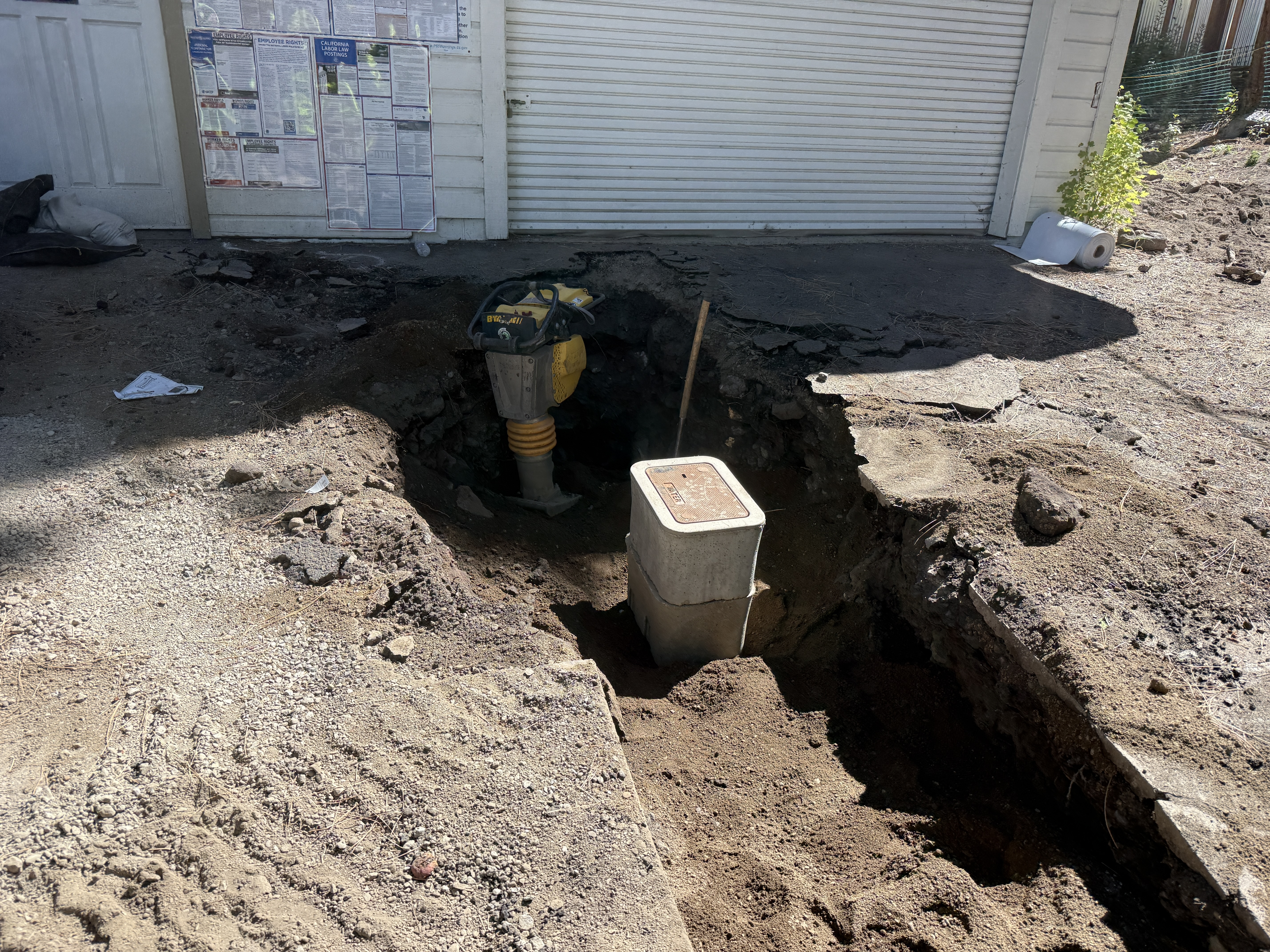
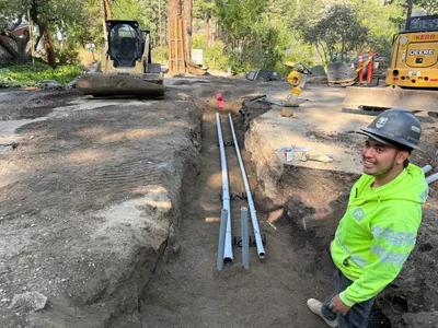
The image shows an excavation site with a hole in front of a garage. A rammer compactor is positioned within the excavation area, and a concrete meter box is partially buried. The ground around the excavation is uneven, and there are visible signs of disturbed soil.
excavation
disturbed soil with uneven ground clear lighting no visible congestion, direct access to excavation site
Safety features are not visible in frame.
Equipment & Materials
Analyzed Apr 21, 2026
Nearby Photos
0m
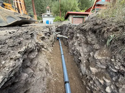
trenching
trenchingconduit-installation
skid-steer loader
5m
trenching
trenchingutilities-laying
soil
5m
trenching
trenchingpipe-installation
soil
5m
pipeline installation
pipeline-installationtrenching
excavator
6m
trenching
trenchingexcavation-activity
excavator
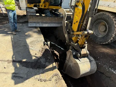
8m
excavation
excavatingtrenching
bulldozer
8m
trenching
trenchingconduit-installation
bulldozer
9m
trenching
trenchingroadway work
sedan
10m
other
material-transportequipment-operation
front loader
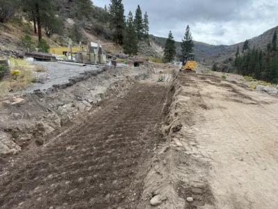
11m
pipeline installation
trenchingpipeline-installation
shovel