No caption
IMG_0778.JPG
Details
Wednesday, October 8, 2025 · 9:34 AM
39.39148, -120.02130· 1680m
Location Context
1 / 5
USGS Topo
No elevation data
FEMA Flood
No flood data
OSM Infra
No address data
USDA Soil
No soil data
USGS Hydro
No hydro data
Apple iPhone 16 Pro
iPhone 16 Pro back triple camera 6.765mm f/1.78
6.764999865652793mmf/1.7799999713880651/1027sISO 64
Flash did not fire, compulsory flash mode
Show all EXIF (44 fields)
ApertureValue1.6638
BrightnessValue7.6477
ColorSpace65535
CompositeImageGeneral Composite Image
DigitalZoomRatio1.0603
ExifImageHeight3024
ExifVersion2.3.2
ExposureCompensation0
ExposureModeAuto
ExposureProgramNormal program
FlashpixVersion1.0
FocalLengthIn35mmFormat50
GPSDateStamp2025:10:08
GPSDestBearing314.9040
GPSDestBearingRefTrue North
GPSHPositioningError6.5171
GPSImgDirection314.9040
GPSImgDirectionRefT
GPSSpeed0.6873
GPSSpeedRefK
GPSTimeStamp16:34:39
HostComputeriPhone 16 Pro
latitude39.3915
LensInfo2.2200, 15.6600, 1.7800, 2.8000
LensMakeApple
longitude-120.0213
MeteringModePattern
ModifyDate2025-10-08T09:34:40.000Z
OffsetTime-07:00
OffsetTimeDigitized-07:00
OffsetTimeOriginal-07:00
ResolutionUnitinches
SceneCaptureTypeStandard
SceneTypeDirectly photographed
SensingMethodOne-chip color area sensor
ShutterSpeedValue10.0038
Software26.0.1
SubjectArea{"0":2012,"1":1508,"2":1106,"3":664}
SubSecTimeDigitized071
SubSecTimeOriginal071
WhiteBalanceAuto
XResolution72
YCbCrPositioning1
YResolution72
AI Analysis
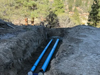
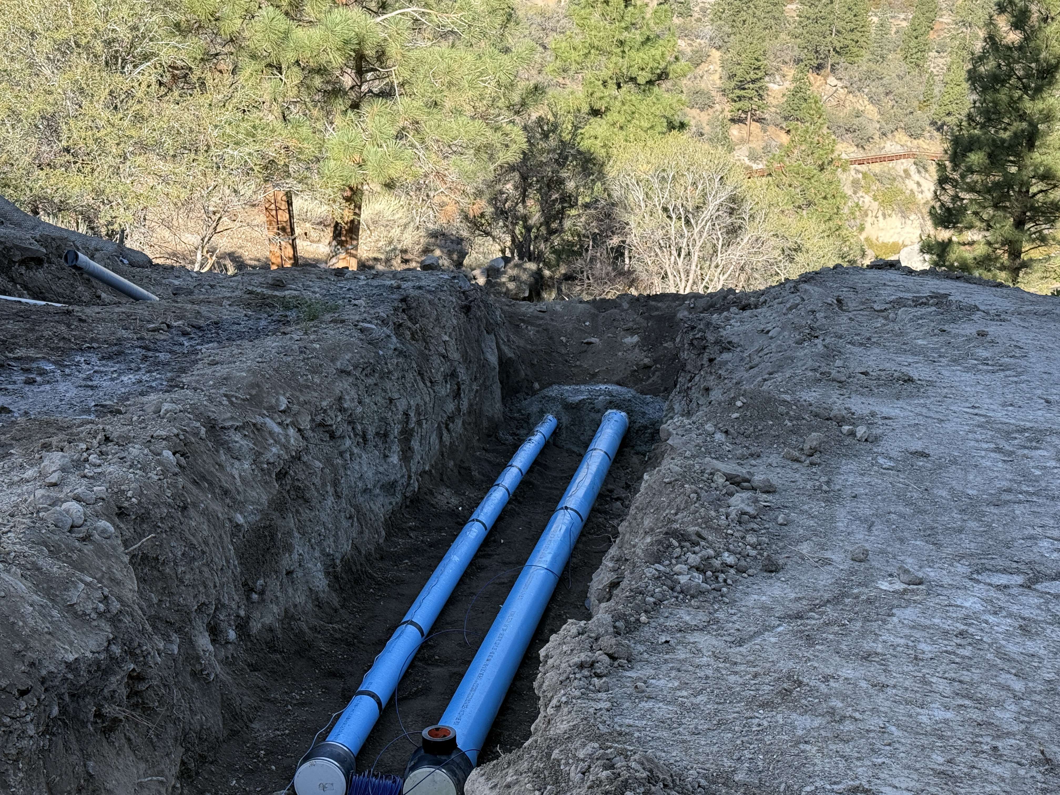
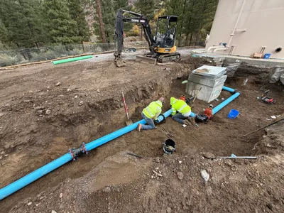
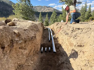
The image shows an open trench with two blue pipelines laid at the bottom. The trench runs through a dirt area, and the surrounding environment consists of trees and natural vegetation. The trench appears to be deep and the soil is excavated to form a clear pathway for the pipelines.
pipeline-installation
dirt with open trench clear daylight conditions open access with visible excavated path
Safety features are not visible in frame.
Equipment & Materials
Analyzed Apr 21, 2026
Nearby Photos
2m
trenching
trenchingpipeline-work
excavator
2m
mechanical installation
crane-operationcrane
terex-crane
2m
pipeline installation
pipeline-installationtrenching
excavator
2m
mechanical installation
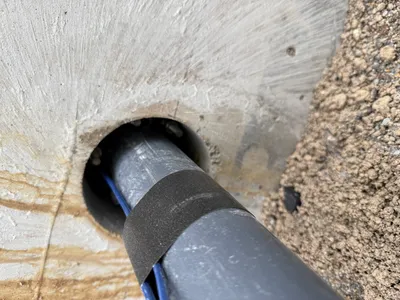
pipe-penetrationsealing-work
sealant
3m
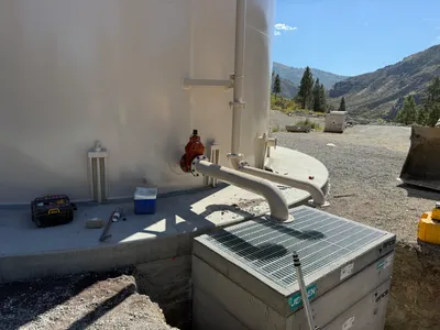
mechanical installation
pipe-installationvalve-installation
hand tools
3m
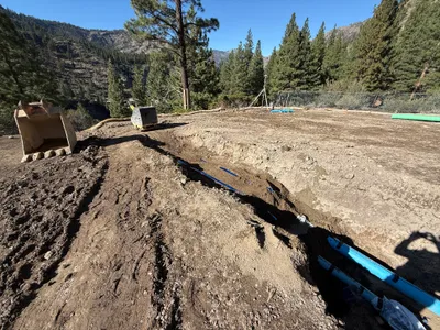
trenching
trenchingpipe-laying
excavator
3m
trenching
trench-inspectionpipe-setup
measuring-tool
3m
trenching
trenchingsoil-excavation
soil
4m
pipeline installation
pipeline-installationtrenching
metal-pipe
4m
mechanical installation
scaffolding-installationtank-maintenance
tank