No caption
IMG_0917.JPG
Details
39.39147, -120.02129· 1675m
Location Context
1 / 5
USGS Topo
No elevation data
FEMA Flood
No flood data
OSM Infra
No address data
USDA Soil
No soil data
USGS Hydro
No hydro data
Show all EXIF (43 fields)
AI Analysis
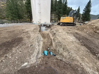
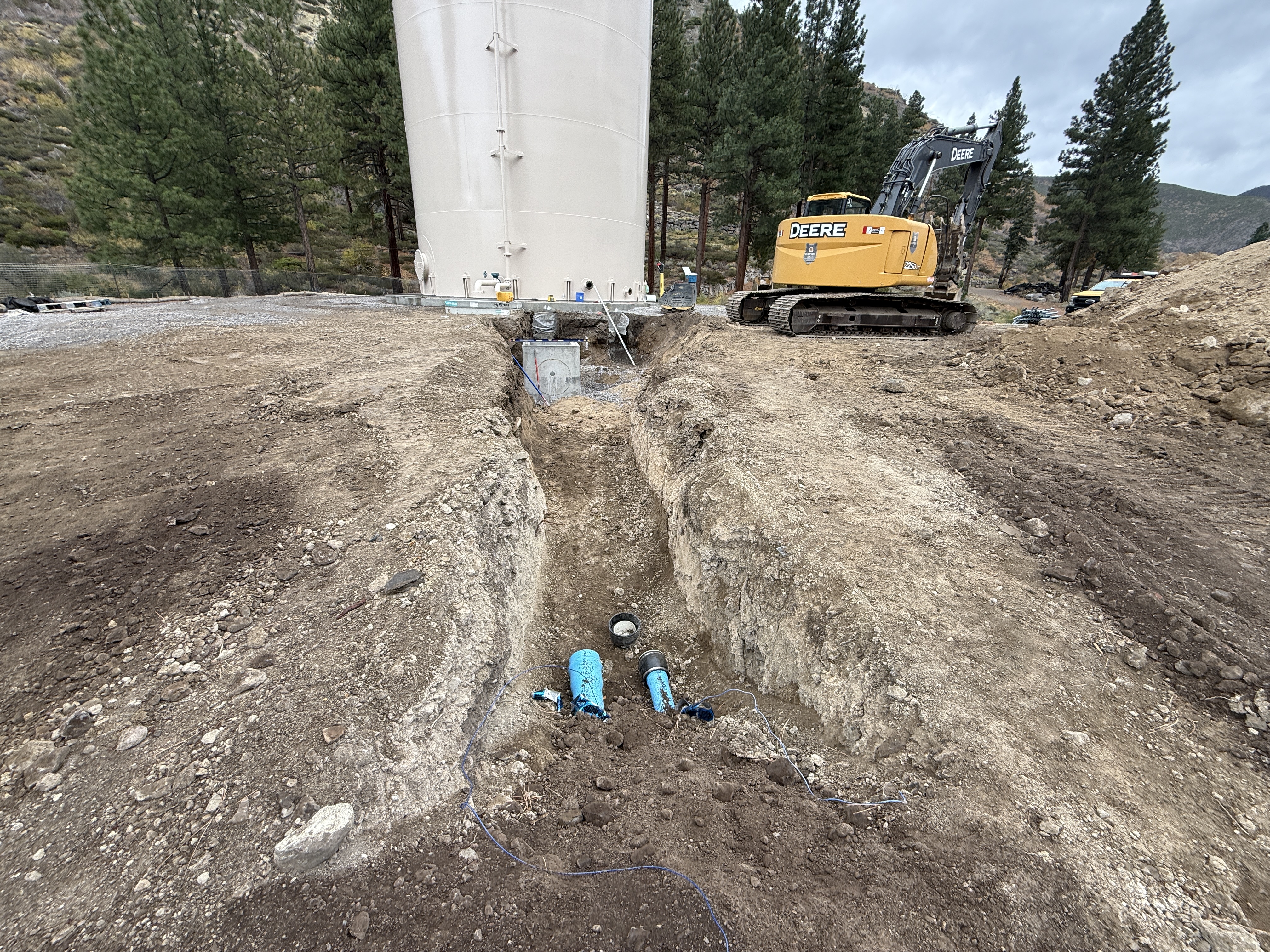
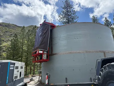
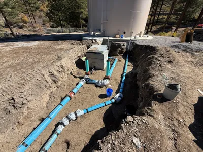
The image shows an excavation at the base of a large water tank, with a trench exposing pipelines or conduits leading towards the tank. An excavator is positioned nearby, indicating ongoing work. The area is surrounded by rough soil and rocky terrain, suggesting recent digging activity. Visible pipes suggest potential installation or inspection of flow meters or valves.
Equipment & Materials
AI Tags
Analyzed Apr 21, 2026
Nearby Photos
1m
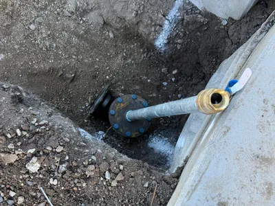
mechanical installation
1m
mechanical installation
2m
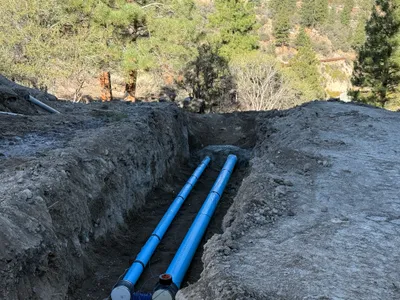
pipeline installation
2m
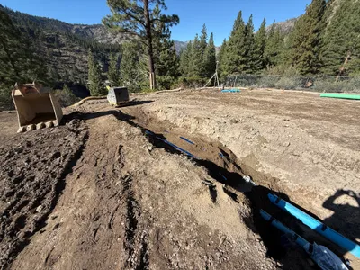
trenching
2m
mechanical installation
2m
pipeline installation
3m
trenching
3m
mechanical installation
3m
trenching
3m
pipeline installation