No caption
IMG_0801.jpg
Details
Wednesday, October 8, 2025 · 3:43 PM
39.39196, -120.02226· 1644m
Location Context
1 / 5
USGS Topo
No elevation data
FEMA Flood
No flood data
OSM Infra
No address data
USDA Soil
No soil data
USGS Hydro
No hydro data
Apple iPhone 16 Pro
iPhone 16 Pro back triple camera 6.765mm f/1.78
6.764999865652793mmf/1.7799999713880651/1653sISO 80
Flash did not fire, compulsory flash mode
Show all EXIF (43 fields)
ApertureValue1.6638
BrightnessValue8.2728
ColorSpace65535
CompositeImageGeneral Composite Image
ExifImageHeight4284
ExifVersion2.3.2
ExposureCompensation0
ExposureModeAuto
ExposureProgramNormal program
FlashpixVersion1.0
FocalLengthIn35mmFormat24
GPSDateStamp2025:10:08
GPSDestBearing124.1256
GPSDestBearingRefTrue North
GPSHPositioningError33.1155
GPSImgDirection124.1256
GPSImgDirectionRefT
GPSSpeed0.1491
GPSSpeedRefK
GPSTimeStamp22:43:43
HostComputeriPhone 16 Pro
latitude39.3920
LensInfo2.2200, 15.6600, 1.7800, 2.8000
LensMakeApple
longitude-120.0223
MeteringModePattern
ModifyDate2025-10-08T15:43:44.000Z
OffsetTime-07:00
OffsetTimeDigitized-07:00
OffsetTimeOriginal-07:00
ResolutionUnitinches
SceneCaptureTypeStandard
SceneTypeDirectly photographed
SensingMethodOne-chip color area sensor
ShutterSpeedValue10.6908
Software26.0.1
SubjectArea{"0":2853,"1":2140,"2":3142,"3":1881}
SubSecTimeDigitized484
SubSecTimeOriginal484
WhiteBalanceAuto
XResolution72
YCbCrPositioning1
YResolution72
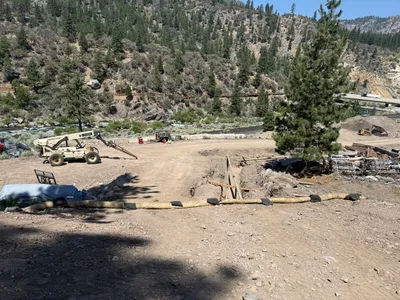
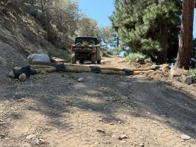
AI Analysis
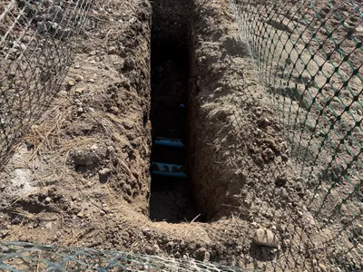
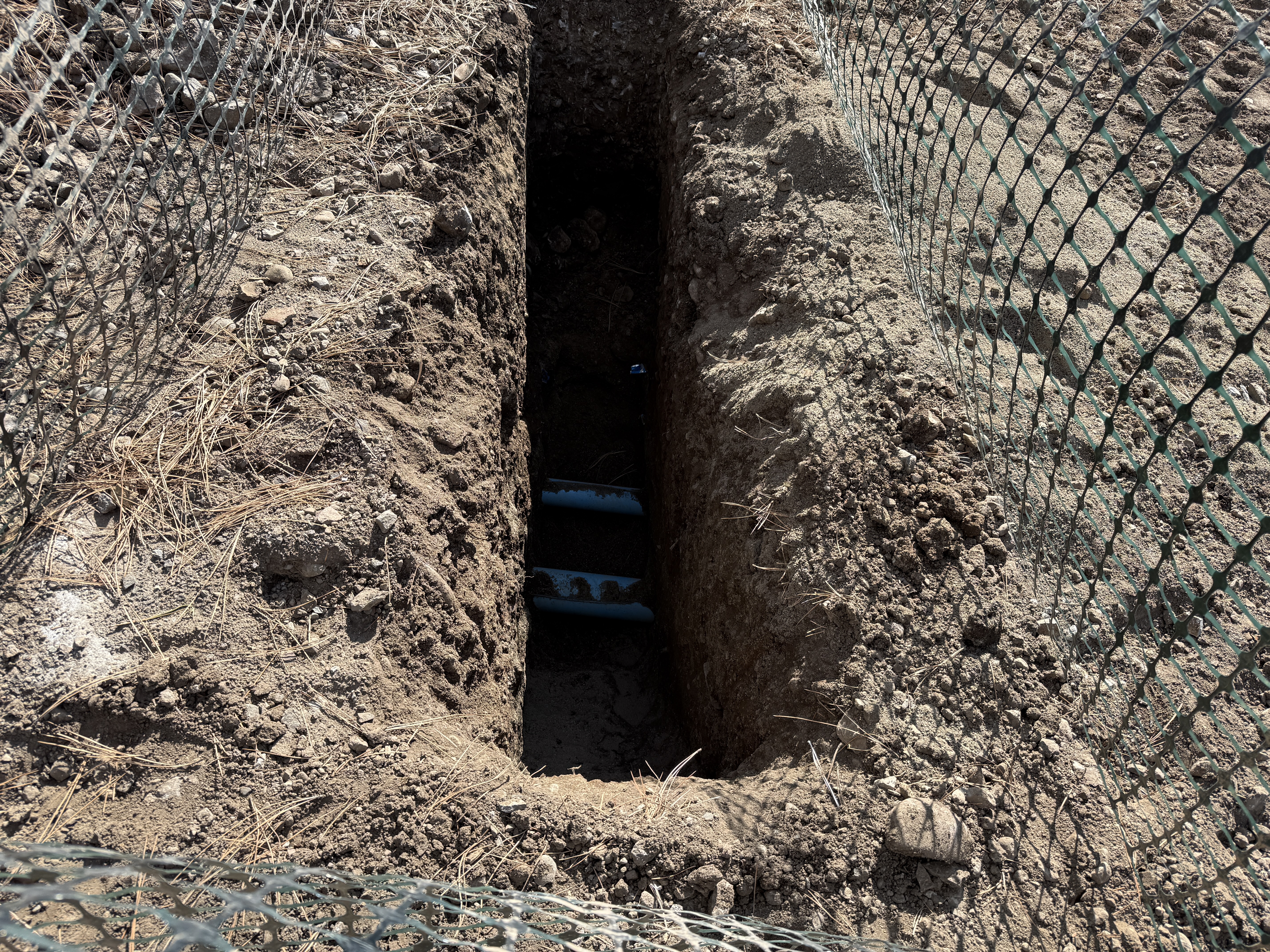
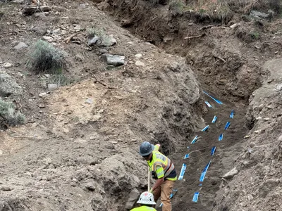
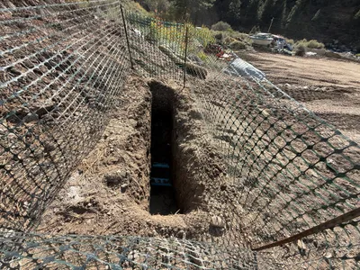
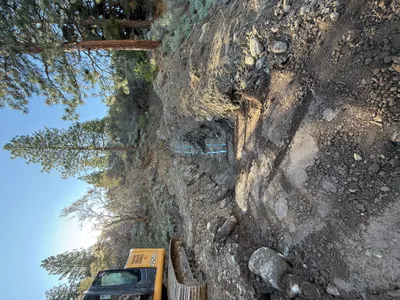
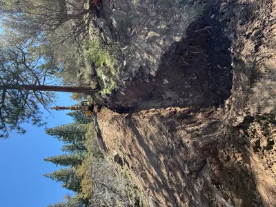
The image shows a deep trench with layers of soil on either side. There are visible check dams within the trench, appearing to control water flow or erosion. Temporary fencing is visible on both sides of the trench. This setup seems to suggest ongoing trenching work, possibly for water control or drainage installation.
trenching
dry soil bright daylight fenced access along the trench
A temporary fence is visible, marking the trench area, but no PPE is visible in the frame.
Equipment & Materials
Analyzed Apr 21, 2026
Nearby Photos
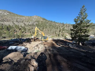
2m
excavation
excavationsoil-relocation
excavator
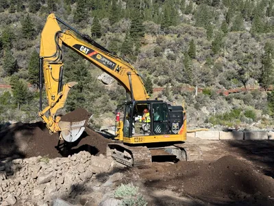
3m
excavation
earth-movingsoil-excavation
tracked-excavator
3m
trenching
trench-workutility-location
soil
3m
trenching
trenchingtrench
fencing
5m
trenching
trenchingtrench
excavator
5m
excavation
excavationtrenching
excavator
6m
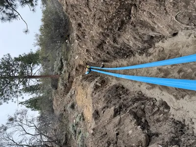
swppp erosion control
erosion-controlwattle
telehandler
6m
swppp erosion control
erosion-controlswppp-implementation
utility-vehicle
7m
pipeline installation
pipeline-installationpipe-laying
blue pipes
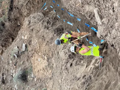
7m
backfill
trench-fillingmarker-placement
shovels