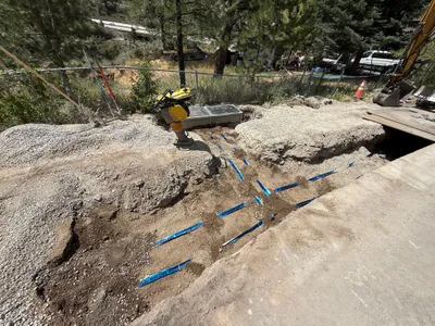
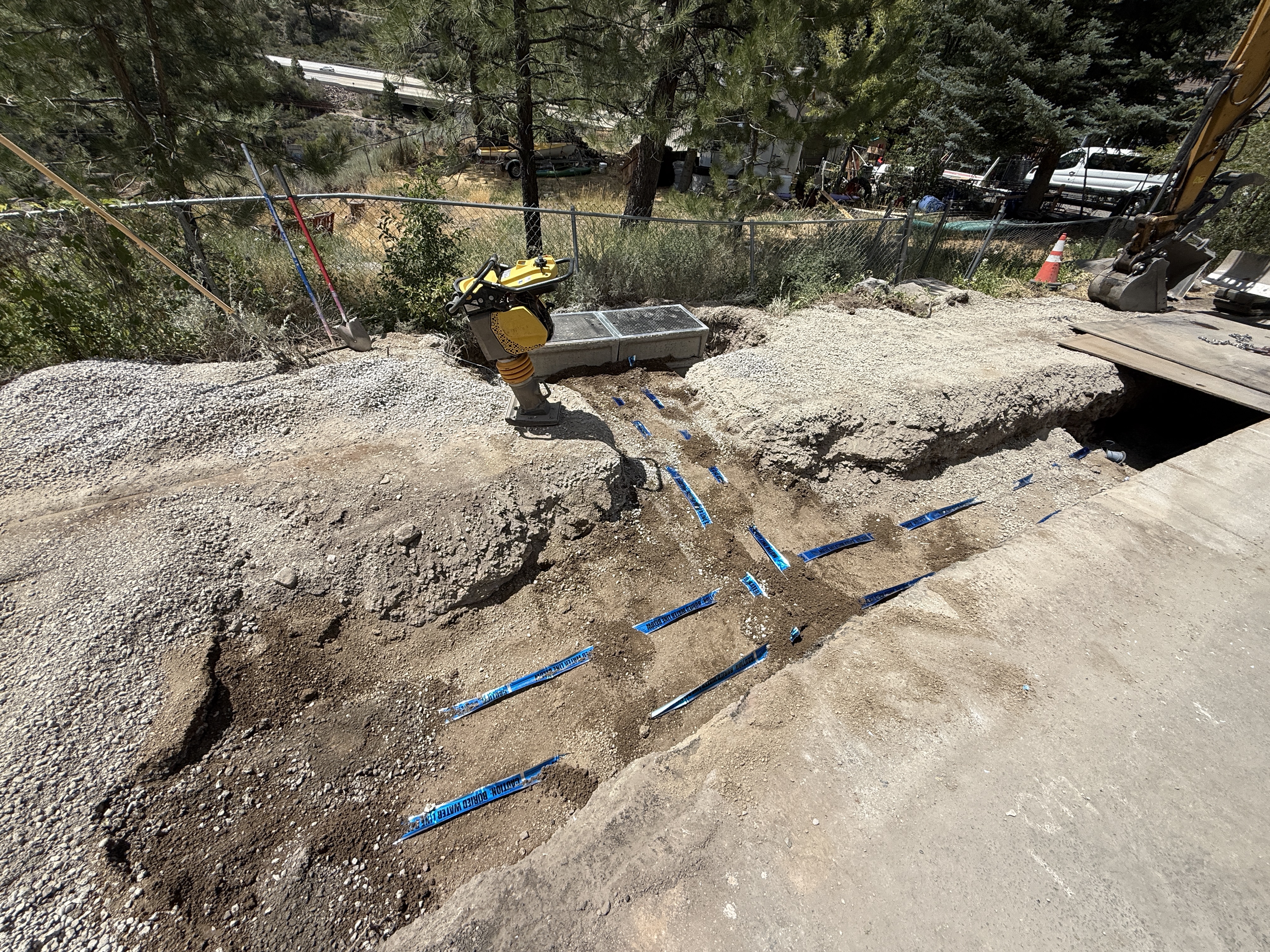
No caption
IMG_9105.JPG
Details
39.39410, -120.02266· 1637m
Location Context
1 / 5
USGS Topo
No elevation data
FEMA Flood
No flood data
OSM Infra
No address data
USDA Soil
No soil data
USGS Hydro
No hydro data
Show all EXIF (43 fields)
AI Analysis
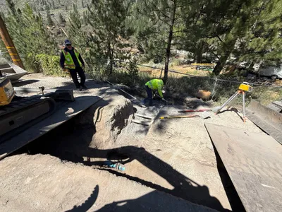
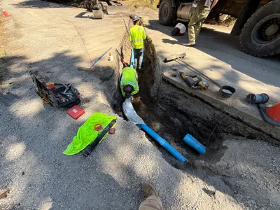
The image shows an open trench, with blue marking tape indicating a possible utility line. A soil compactor is positioned near the trench edge, and a backhoe is partially visible extending into the scene. The ground is a mix of gravel and dirt, suggesting ongoing excavation work. Trees and a fence are seen in the background, outlining a rural area.
Equipment & Materials
AI Tags
Analyzed Apr 21, 2026
Nearby Photos
1m
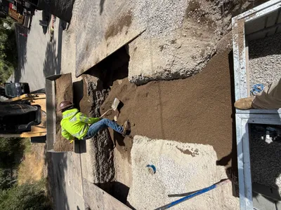
backfill
1m
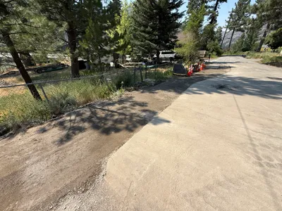
paving surface restoration
1m
excavation
2m
paving surface restoration
2m
excavation
3m
paving surface restoration
3m
trenching
3m
backfill
3m
trenching
4m
trenching