
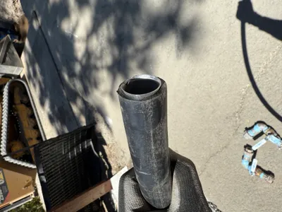
No caption
IMG_9089.JPG
Details
39.39406, -120.02259· 1640m
Location Context
1 / 5
USGS Topo
No elevation data
FEMA Flood
No flood data
OSM Infra
No address data
USDA Soil
No soil data
USGS Hydro
No hydro data
Show all EXIF (43 fields)
AI Analysis
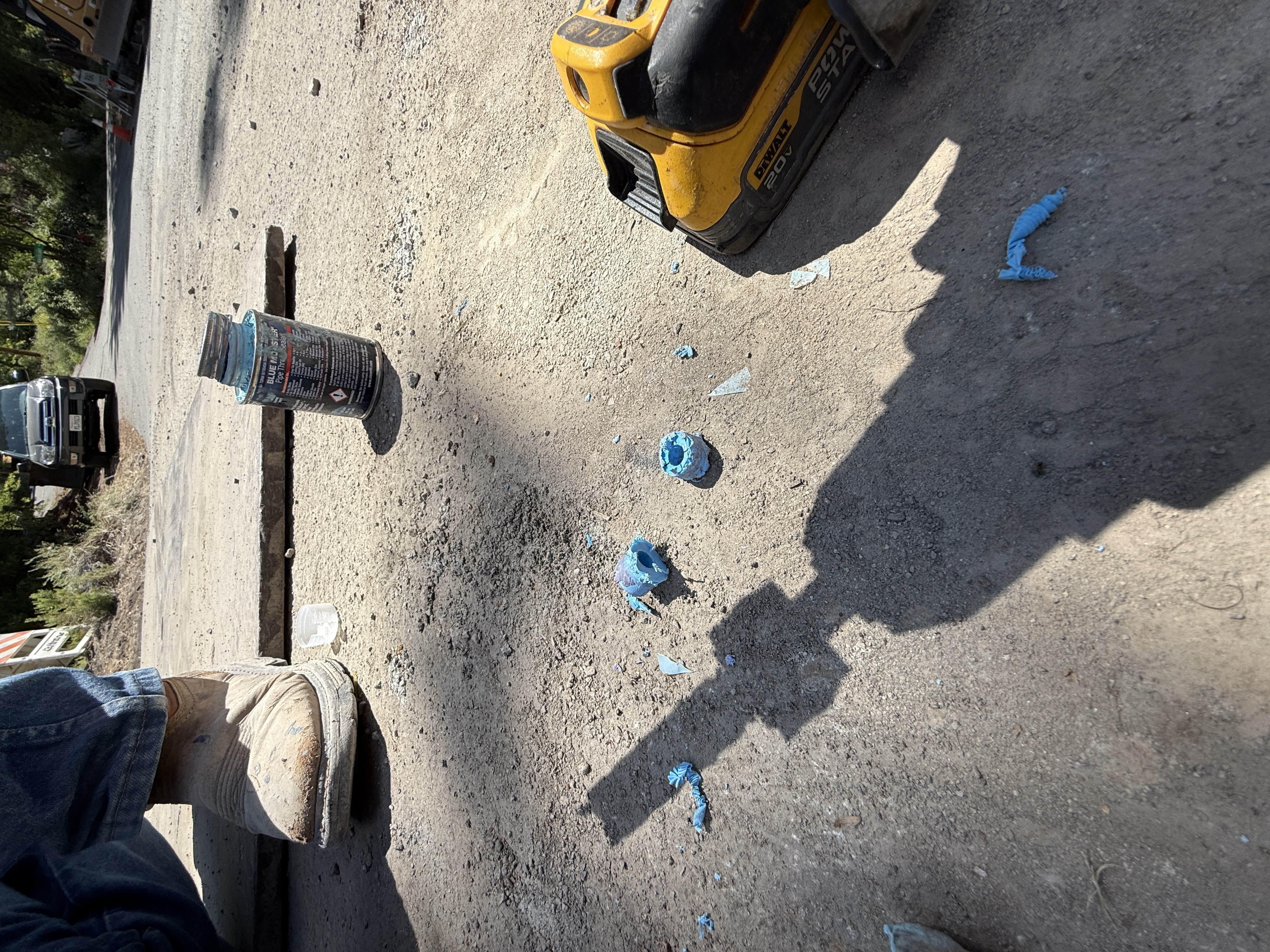
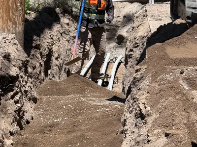
The image shows a close-up of a construction area with a power drill and blue marking compound spread on the ground. A worker's boot and leg are visible to the left, indicating ongoing site work. The surface is unpaved and the area appears to be used for utility work. A can of blue compound and a cap are beside the markings, suggesting layout or survey marking is in progress.
Equipment & Materials
AI Tags
Analyzed Apr 21, 2026
Nearby Photos
1m
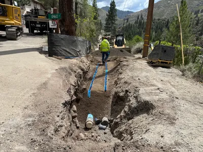
pipeline installation
2m
mechanical installation
2m
pipeline installation
3m
pipeline installation
3m
mechanical installation
4m
excavation
4m
backfill
4m
backfill
5m
pipeline installation
5m
excavation