
No caption
IMG_7105.JPG
Details
39.39186, -120.02196· 1655m
Location Context
1 / 5
USGS Topo
No elevation data
FEMA Flood
No flood data
OSM Infra
No address data
USDA Soil
No soil data
USGS Hydro
No hydro data
Show all EXIF (43 fields)
AI Analysis
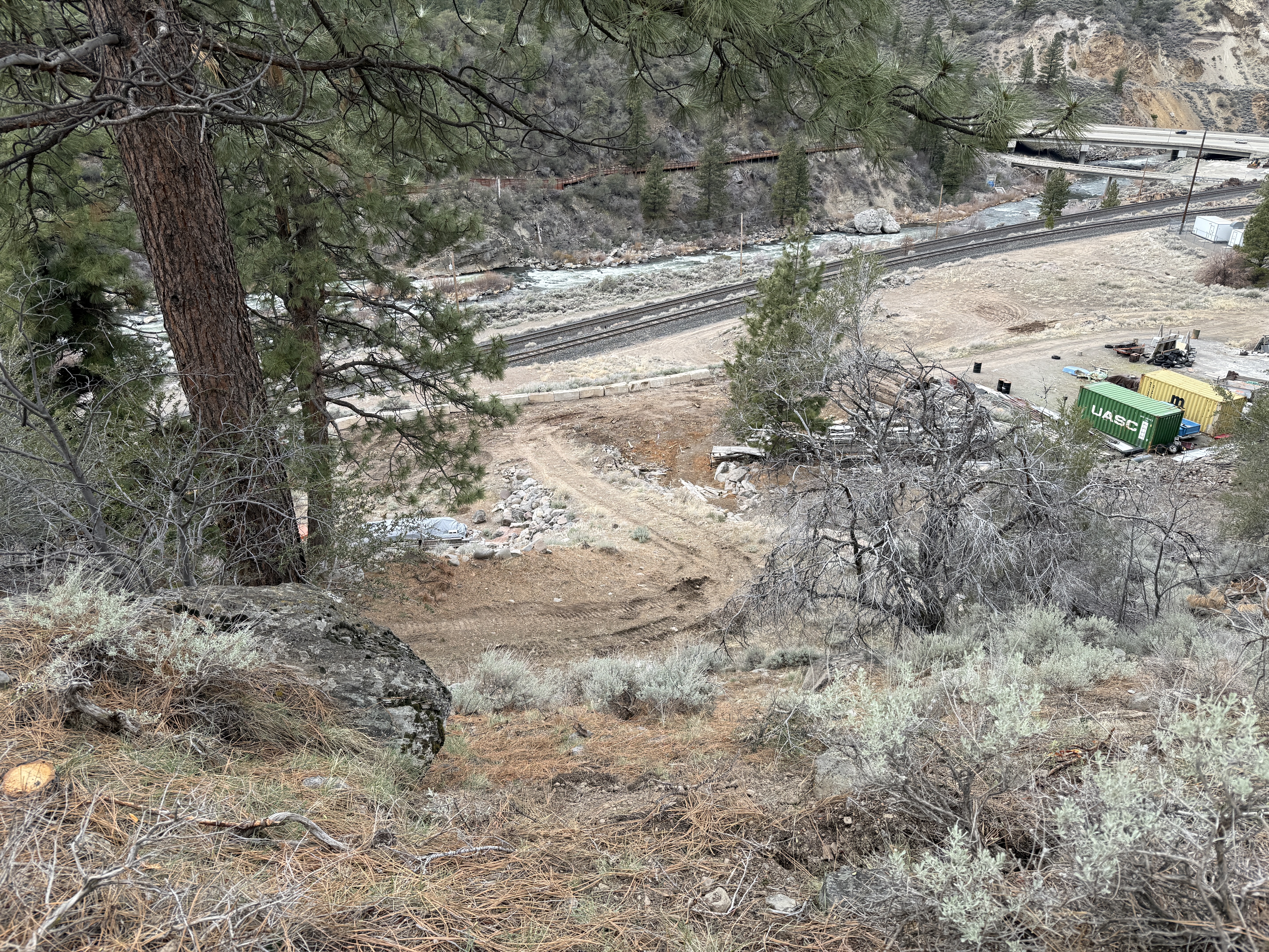
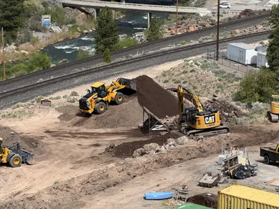
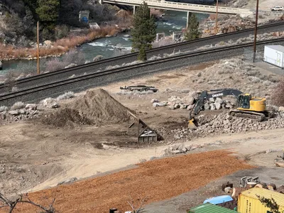
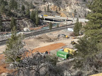
The image shows a sloped terrain with visible site grading and a dirt path leading downwards. To the right, there are shipping containers and various construction materials staged on the ground. The surrounding area includes a river and railway tracks. The photograph appears to be taken from a higher elevation, possibly a hill or embankment, overlooking an active construction site.
AI Tags
Analyzed Apr 21, 2026
Nearby Photos
1m
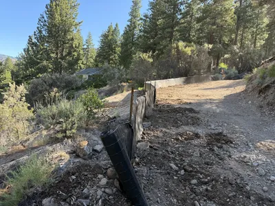
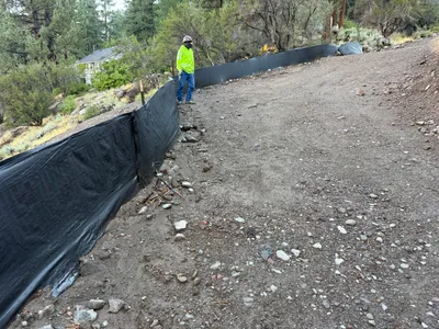
swppp erosion control
2m
site grading
2m
swppp erosion control
3m
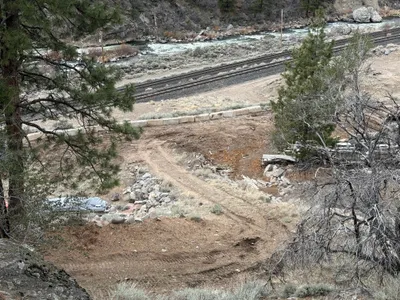
excavation
3m
site grading
3m
swppp erosion control
3m
excavation
3m
excavation
3m
swppp erosion control
4m
excavation