IMG_2637.JPG

No caption

IMG_2637.JPG

Tags

Details

Monday, January 26, 2026 · 1:17 PM

39.39444, -120.02264· 1641m

Location Context

1 / 5

USGS Topo

No elevation data

FEMA Flood

No flood data

OSM Infra

No address data

USDA Soil

No soil data

USGS Hydro

No hydro data

Apple iPhone 16 Pro
iPhone 16 Pro back triple camera 6.765mm f/1.78
6.764999865652793mmf/1.7799999713880651/242sISO 80
Flash did not fire, compulsory flash mode
Show all EXIF (43 fields)
ApertureValue1.6638
BrightnessValue5.3227
ColorSpace65535
CompositeImageGeneral Composite Image
ExifImageHeight3024
ExifVersion2.3.2
ExposureCompensation0
ExposureModeAuto
ExposureProgramNormal program
FlashpixVersion1.0
FocalLengthIn35mmFormat48
GPSDateStamp2026:01:26
GPSDestBearing174.9230
GPSDestBearingRefTrue North
GPSHPositioningError9.6830
GPSImgDirection174.9230
GPSImgDirectionRefT
GPSSpeed0
GPSSpeedRefK
GPSTimeStamp21:17:25
HostComputeriPhone 16 Pro
latitude39.3944
LensInfo2.2200, 15.6600, 1.7800, 2.8000
LensMakeApple
longitude-120.0226
MeteringModePattern
ModifyDate2026-01-26T13:17:25.000Z
OffsetTime-08:00
OffsetTimeDigitized-08:00
OffsetTimeOriginal-08:00
ResolutionUnitinches
SceneCaptureTypeStandard
SceneTypeDirectly photographed
SensingMethodOne-chip color area sensor
ShutterSpeedValue7.9210
Software26.2
SubjectArea{"0":2011,"1":1510,"2":1107,"3":662}
SubSecTimeDigitized538
SubSecTimeOriginal538
WhiteBalanceAuto
XResolution72
YCbCrPositioning1
YResolution72

AI Analysis

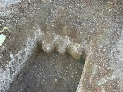
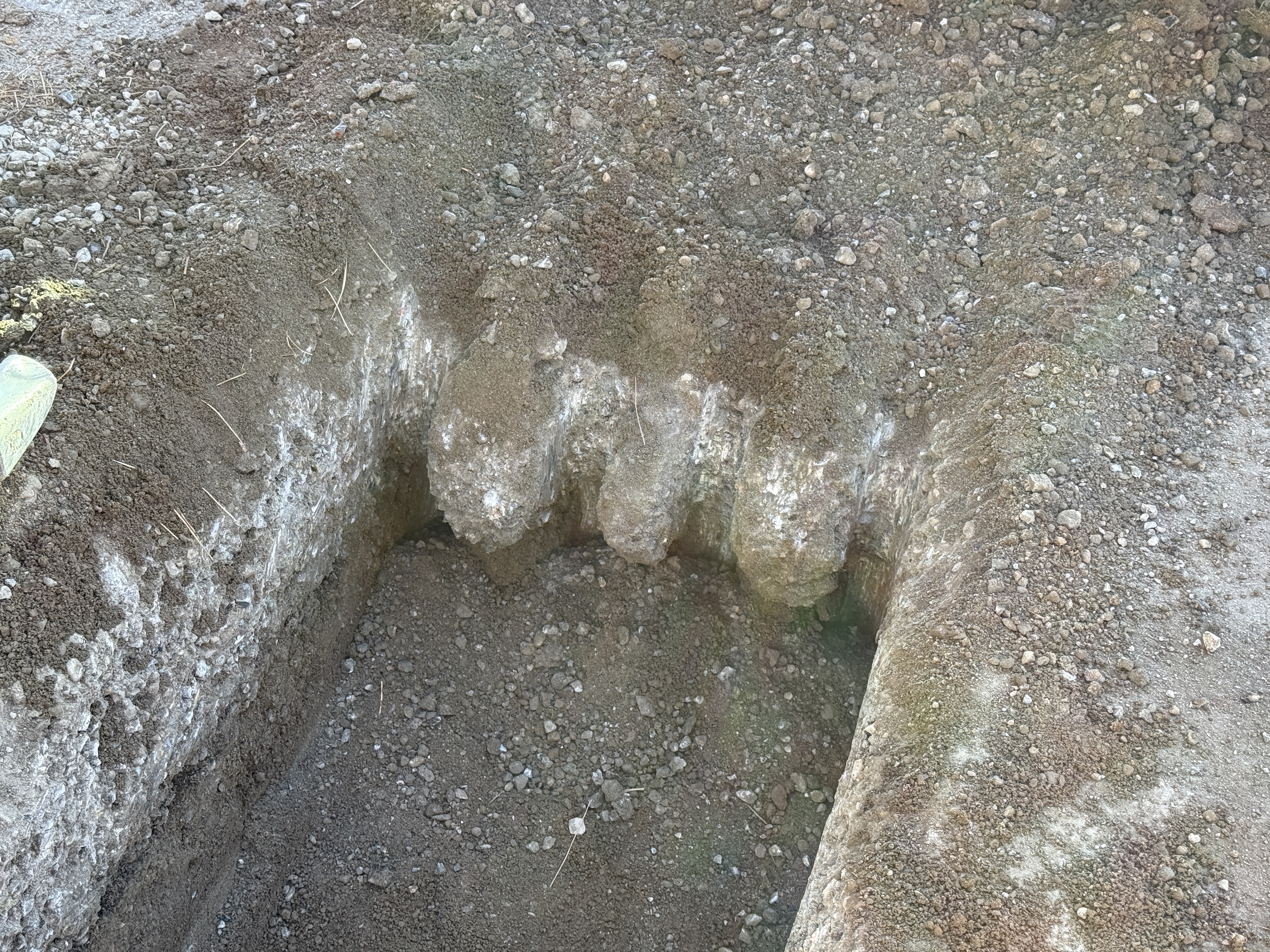
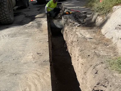
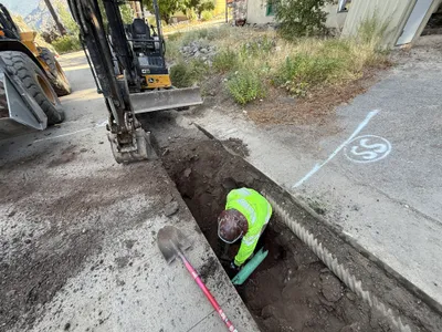
The image shows an open trench with a visible vertical cut revealing earthen layers. The trench is located in a soil-dominated environment with different textures and colors indicating various soil compositions. There is no visible equipment, pipes, or installed components within the trench. The trench edges are irregular, and the area seems to be under excavation or preparatory work.

trenching
exposed soil with varying textures natural daylight no obstructions visible; open access
Safety features are not visible in frame.

Analyzed Apr 21, 2026