No caption
IMG_7032.JPG
Details
Monday, April 7, 2025 · 4:04 PM
39.39474, -120.02186· 1643m
Location Context
1 / 5
USGS Topo
No elevation data
FEMA Flood
No flood data
OSM Infra
No address data
USDA Soil
No soil data
USGS Hydro
No hydro data
Apple iPhone 16 Pro
iPhone 16 Pro back triple camera 6.765mm f/1.78
6.764999865652793mmf/1.7799999713880651/6173sISO 80
Flash did not fire, compulsory flash mode
Show all EXIF (43 fields)
ApertureValue1.6638
BrightnessValue10.2309
ColorSpace65535
CompositeImageGeneral Composite Image
ExifImageHeight4284
ExifVersion2.3.2
ExposureCompensation0
ExposureModeAuto
ExposureProgramNormal program
FlashpixVersion1.0
FocalLengthIn35mmFormat24
GPSDateStamp2025:04:07
GPSDestBearing99.3226
GPSDestBearingRefTrue North
GPSHPositioningError5.9630
GPSImgDirection99.3226
GPSImgDirectionRefT
GPSSpeed0.2112
GPSSpeedRefK
GPSTimeStamp23:4:10
HostComputeriPhone 16 Pro
latitude39.3947
LensInfo2.2200, 15.6600, 1.7800, 2.8000
LensMakeApple
longitude-120.0219
MeteringModePattern
ModifyDate2025-04-07T16:04:11.000Z
OffsetTime-07:00
OffsetTimeDigitized-07:00
OffsetTimeOriginal-07:00
ResolutionUnitinches
SceneCaptureTypeStandard
SceneTypeDirectly photographed
SensingMethodOne-chip color area sensor
ShutterSpeedValue12.5917
Software18.4
SubjectArea{"0":2851,"1":2137,"2":3141,"3":1884}
SubSecTimeDigitized869
SubSecTimeOriginal869
WhiteBalanceAuto
XResolution72
YCbCrPositioning1
YResolution72
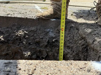
AI Analysis
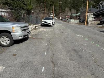
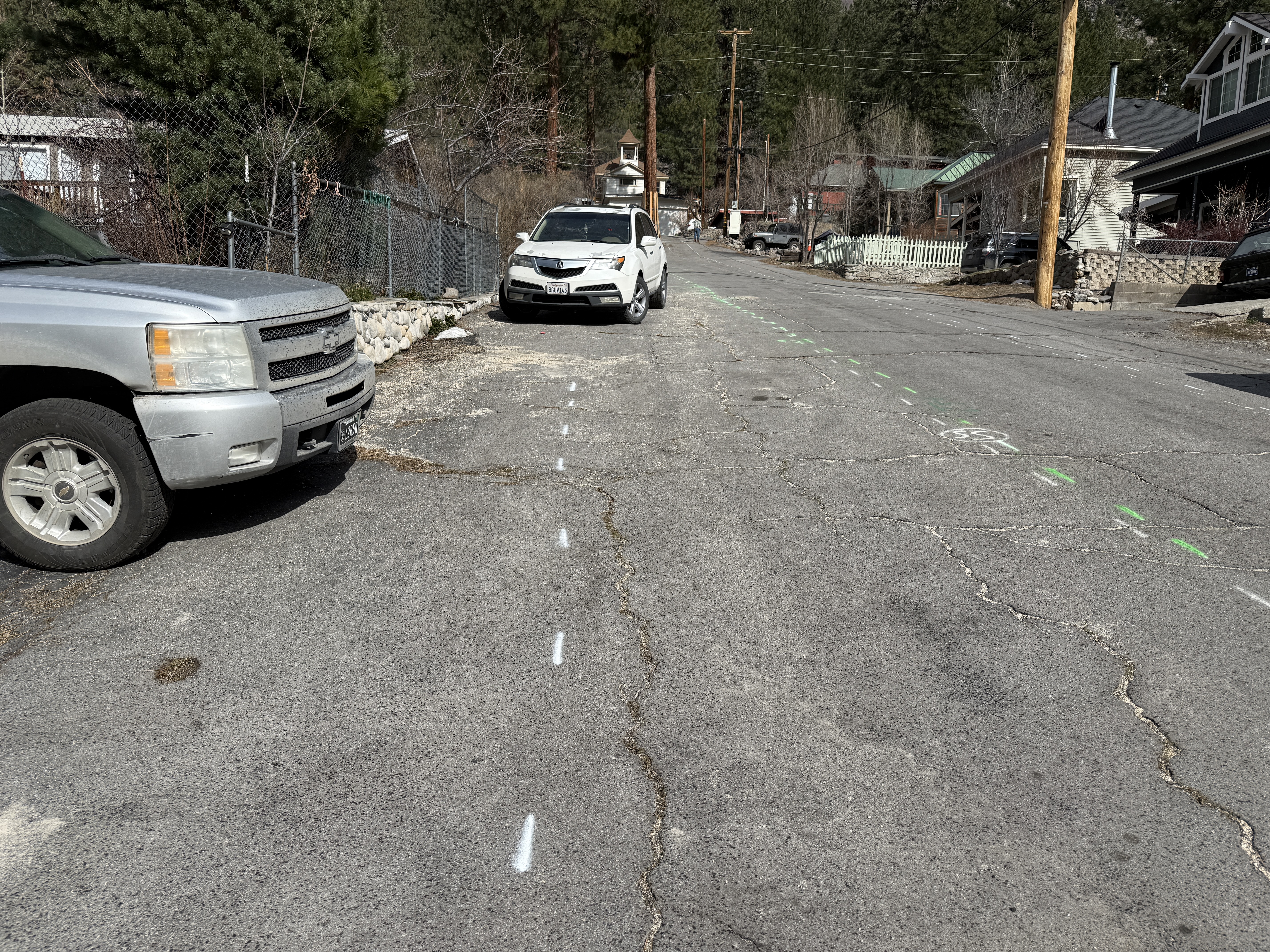
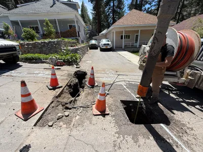
Two vehicles are parked on a street with visible cracks and markings, indicating potential locations for future work. The street is lined with residential properties and there are green and white spray-painted lines and symbols on the pavement. These may denote planned work areas for a waterline project.
survey-layout
pavement with visible cracks clear and sunny open street with parked vehicles
Safety features are not visible in frame.
Equipment & Materials
Analyzed Apr 21, 2026
Nearby Photos
1m
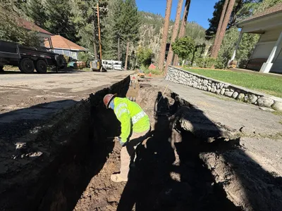
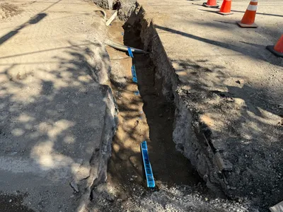
trenching
trenchingsoil-handling
excavator
2m
other
road-markingpre-construction
silver-car
3m
excavation
utility-locatingconcrete-pouring
concrete-truck
3m
trenching
trenchingresidential-area-work
trailer
3m
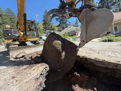
excavation
boulder-removalexcavation-work
excavator
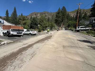
4m
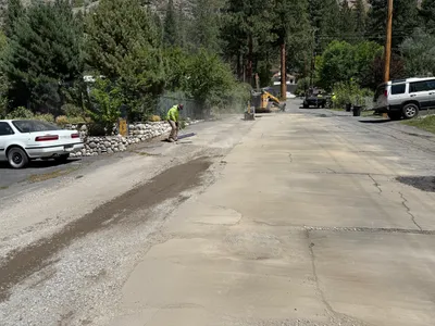
paving surface restoration
road-gradingsurface-preparation
road grader
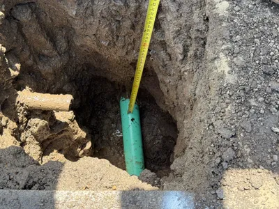
4m
excavation
utility-locatingdepth-measurement
measuring-tape
4m
trenching
trenchingpipe-laying
soil
4m
excavation
potholingutility-locating
tape-measure
4m
paving surface restoration
surface-levelingroad-repair
construction truck