
No caption
IMG_7027.JPG
Details
Monday, April 7, 2025 · 4:01 PM
39.39479, -120.02268· 1637m
Location Context
1 / 5
USGS Topo
No elevation data
FEMA Flood
No flood data
OSM Infra
No address data
USDA Soil
No soil data
USGS Hydro
No hydro data
Apple iPhone 16 Pro
iPhone 16 Pro back triple camera 6.765mm f/1.78
6.764999865652793mmf/1.7799999713880651/3145sISO 80
Flash did not fire, compulsory flash mode
Show all EXIF (43 fields)
ApertureValue1.6638
BrightnessValue9.2991
ColorSpace65535
CompositeImageGeneral Composite Image
ExifImageHeight4284
ExifVersion2.3.2
ExposureCompensation0
ExposureModeAuto
ExposureProgramNormal program
FlashpixVersion1.0
FocalLengthIn35mmFormat24
GPSDateStamp2025:04:07
GPSDestBearing193.0937
GPSDestBearingRefTrue North
GPSHPositioningError5.4513
GPSImgDirection193.0937
GPSImgDirectionRefT
GPSSpeed0.1209
GPSSpeedRefK
GPSTimeStamp23:1:39
HostComputeriPhone 16 Pro
latitude39.3948
LensInfo2.2200, 15.6600, 1.7800, 2.8000
LensMakeApple
longitude-120.0227
MeteringModePattern
ModifyDate2025-04-07T16:01:40.000Z
OffsetTime-07:00
OffsetTimeDigitized-07:00
OffsetTimeOriginal-07:00
ResolutionUnitinches
SceneCaptureTypeStandard
SceneTypeDirectly photographed
SensingMethodOne-chip color area sensor
ShutterSpeedValue11.6187
Software18.4
SubjectArea{"0":2851,"1":2137,"2":3141,"3":1884}
SubSecTimeDigitized124
SubSecTimeOriginal124
WhiteBalanceAuto
XResolution72
YCbCrPositioning1
YResolution72
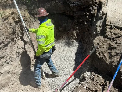
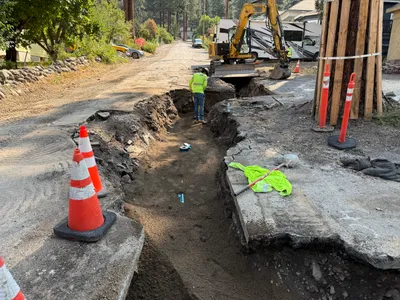
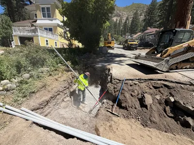
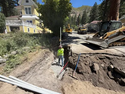
AI Analysis
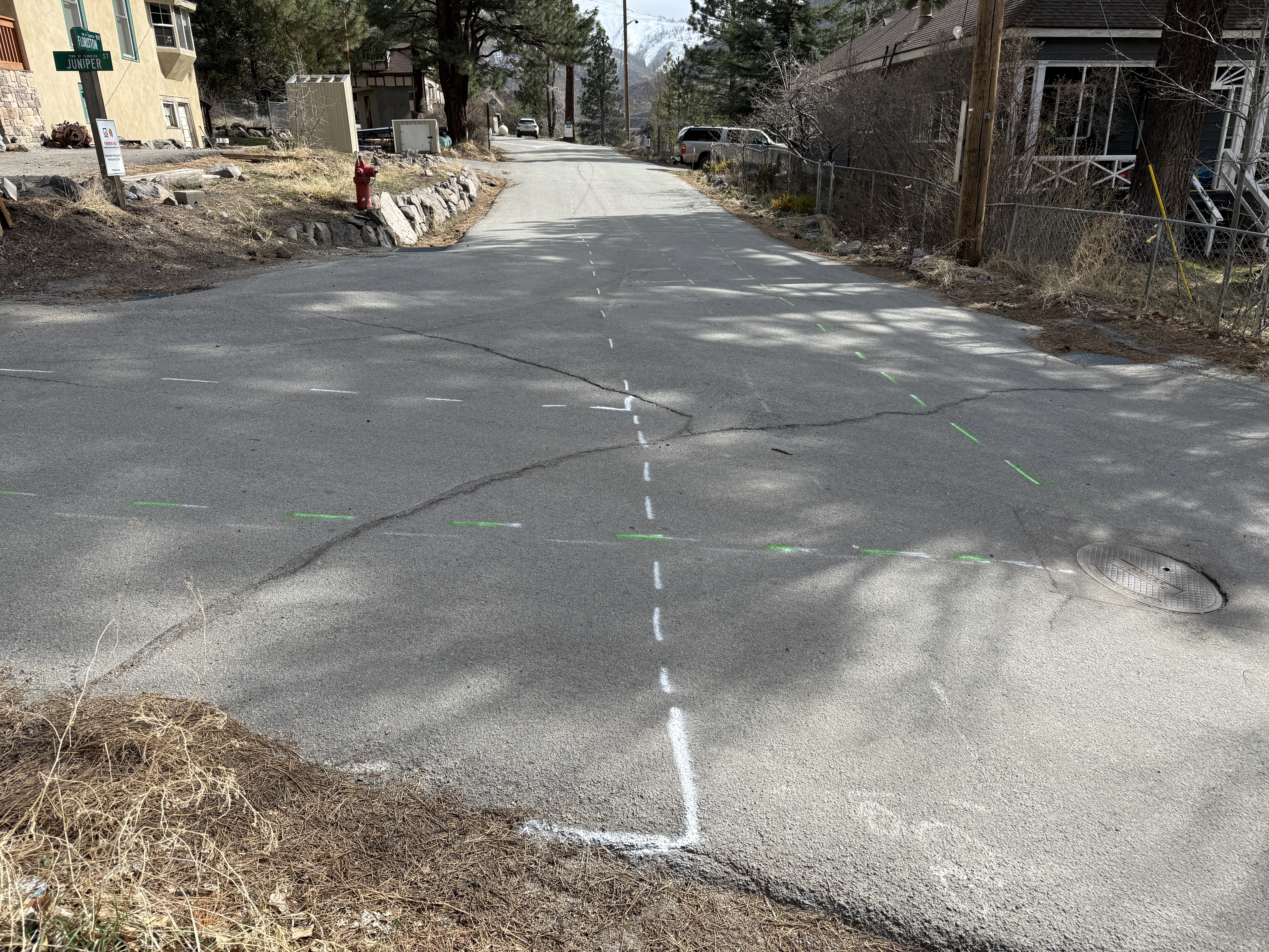
The image shows an asphalt road with several marked lines, possibly indicating areas for excavation or survey. There are both white and green dashed lines, with visible road cracks intersecting these markings. No active construction work or workers are present in the frame.
survey-layout
cracked asphalt clear daylight with shadows open road, no visible obstructions
No active safety features are visible in frame.
Analyzed Apr 21, 2026
Nearby Photos
2m
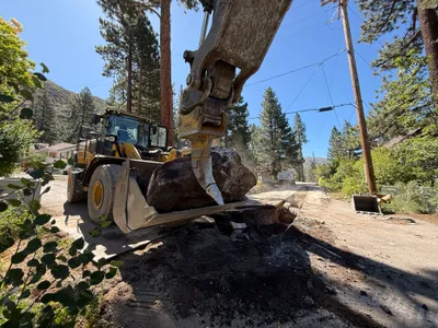
excavation
boulder-movingexcavator-operation
excavator
2m
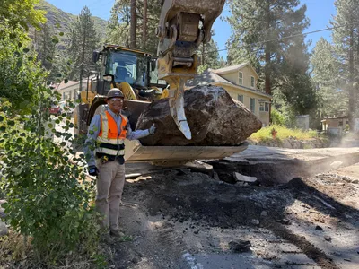
excavation
boulder-removaldebris-clearing
loader
3m
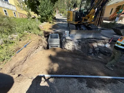
trenching
trenchingtrench-box-placement
excavator
3m
trenching
trench-inspectionsurveying
leveling-rod
3m
trenching
trenchingexcavation-work
excavator
3m
trenching
trenchingexcavation
excavator
3m
trenching
trenchingexcavation-work
track-loader
4m
trenching
duct-bank-installationpipe-laying
excavator
4m
trenching
trenchingutility-trenching
excavator
5m
trenching
trenchingpipeline-installation
excavator