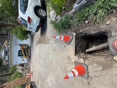
No caption
IMG_6999.JPG
Tags
Details
Monday, April 7, 2025 · 12:25 PM
39.39471, -120.02091· 1660m
Location Context
1 / 5
USGS Topo
No elevation data
FEMA Flood
No flood data
OSM Infra
No address data
USDA Soil
No soil data
USGS Hydro
No hydro data
Apple iPhone 16 Pro
iPhone 16 Pro back triple camera 6.765mm f/1.78
6.764999865652793mmf/1.7799999713880651/967sISO 80
Flash did not fire, compulsory flash mode
Show all EXIF (43 fields)
ApertureValue1.6638
BrightnessValue7.6070
ColorSpace65535
CompositeImageGeneral Composite Image
ExifImageHeight4284
ExifVersion2.3.2
ExposureCompensation0
ExposureModeAuto
ExposureProgramNormal program
FlashpixVersion1.0
FocalLengthIn35mmFormat24
GPSDateStamp2025:04:07
GPSDestBearing274.3648
GPSDestBearingRefTrue North
GPSHPositioningError11.3540
GPSImgDirection274.3648
GPSImgDirectionRefT
GPSSpeed0.8272
GPSSpeedRefK
GPSTimeStamp19:25:2
HostComputeriPhone 16 Pro
latitude39.3947
LensInfo2.2200, 15.6600, 1.7800, 2.8000
LensMakeApple
longitude-120.0209
MeteringModePattern
ModifyDate2025-04-07T12:25:03.000Z
OffsetTime-07:00
OffsetTimeDigitized-07:00
OffsetTimeOriginal-07:00
ResolutionUnitinches
SceneCaptureTypeStandard
SceneTypeDirectly photographed
SensingMethodOne-chip color area sensor
ShutterSpeedValue9.9175
Software18.4
SubjectArea{"0":2849,"1":2137,"2":3291,"3":1884}
SubSecTimeDigitized652
SubSecTimeOriginal652
WhiteBalanceAuto
XResolution72
YCbCrPositioning1
YResolution72
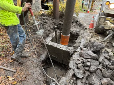
AI Analysis
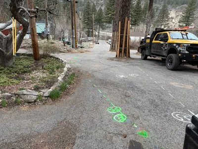
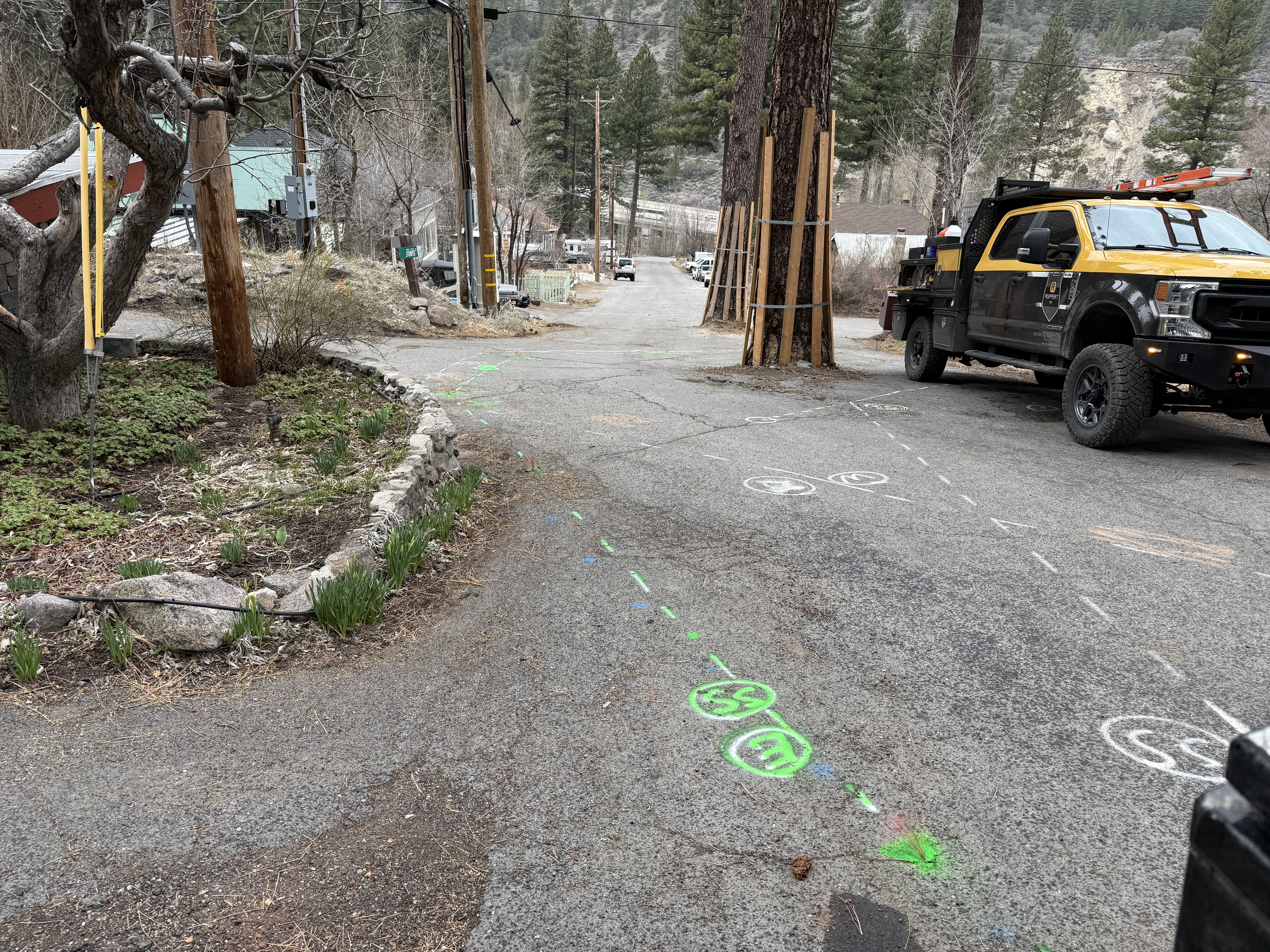
On a paved roadway, there are various colored utility markings indicating underground utilities. A pickup truck with equipment is parked to the right. Utility poles are present to the left and right of the image, and there is some vegetation by the side of the road. The area appears to be a residential or rural street with slight elevation changes.
survey-layout
paved road with utility markings cloudy weather, overcast lighting clear access along street
No specific safety features are visible in frame.
Equipment & Materials
Analyzed Apr 21, 2026
Nearby Photos
0m
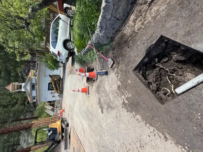
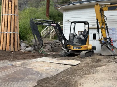
excavation
pothole-utility-locatingexcavation
excavator
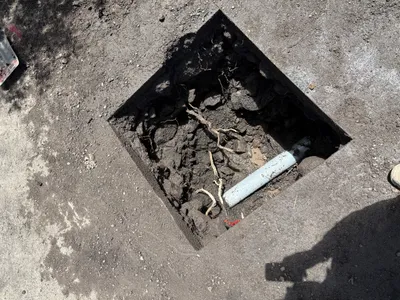
1m
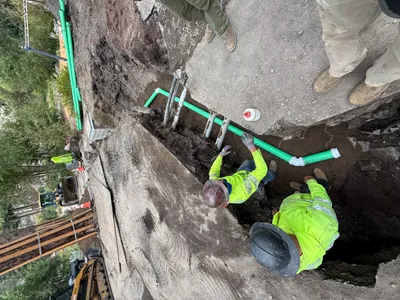
excavation
utility-locatingexcavation
pipe
1m
excavation
excavationearth-moving
excavator
1m
pipeline installation
pipeline-installationpipe-fitting
excavator
1m
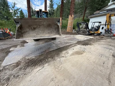
excavation
equipment-operationmetal-plate-staging
front loader
1m
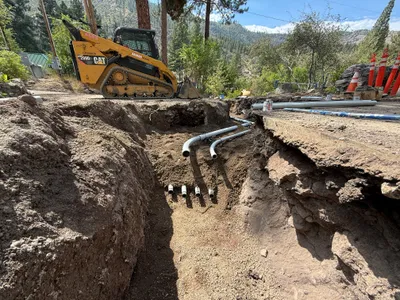
trenching
trenchingpipe-installation
skid-steer-loader
1m
concrete work
concrete-vibrationutility-installation
utility-truck
2m
excavation
utility-locatingpotholing
pipe
2m
site grading
site-gradingsoil-compaction
compacting-machine
2m
excavation
pothole-utility-locatingexcavation
skid-steer