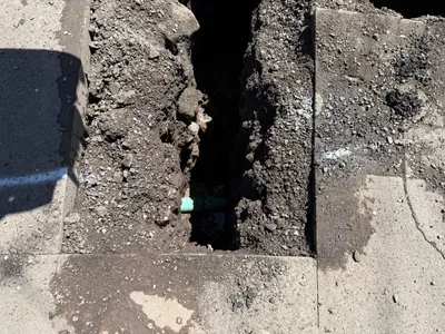
No caption
IMG_6615.JPG
Details
39.39468, -120.02168· 1648m
Location Context
1 / 5
USGS Topo
No elevation data
FEMA Flood
No flood data
OSM Infra
No address data
USDA Soil
No soil data
USGS Hydro
No hydro data
Show all EXIF (43 fields)
AI Analysis
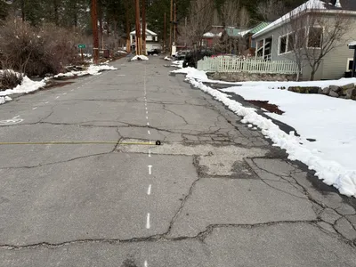
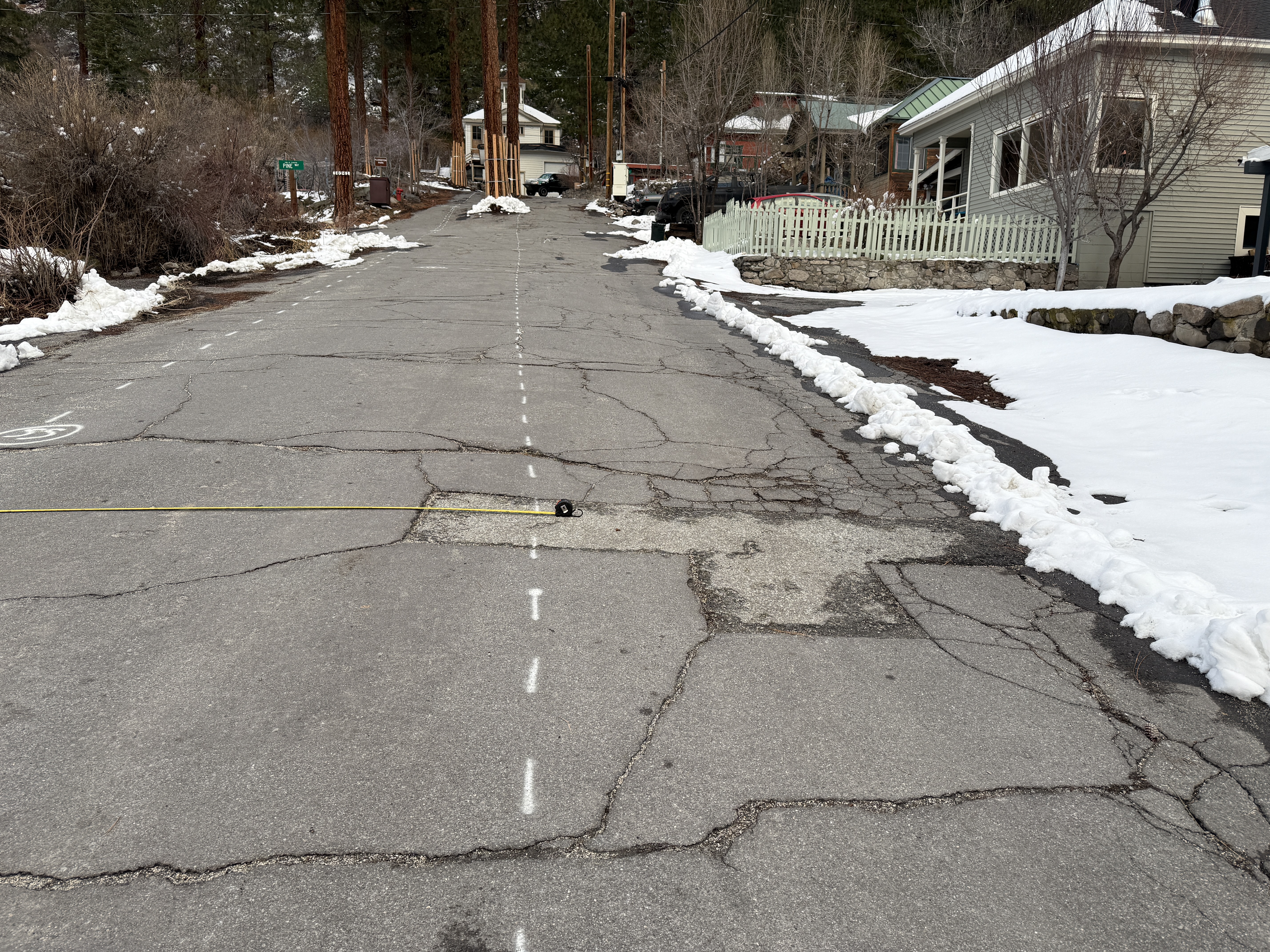
The image shows a paved road with survey layout markings in the form of dashed lines running down its center, suggesting preparation or assessment activity. The pavement is visibly cracked, with patches and uneven surfaces. Snow is present on the sides of the road, indicating cold or winter conditions. No heavy equipment or active construction work is visible.
Analyzed Apr 21, 2026
Nearby Photos
1m
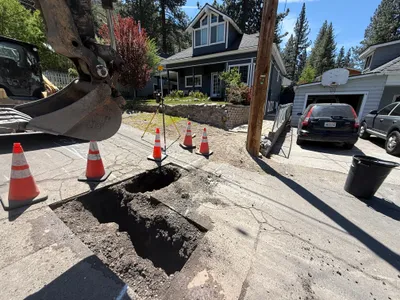
trenching
2m
excavation
3m
pothole utility locating
3m
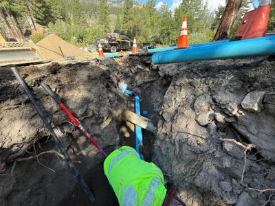
pipeline installation
3m
trenching
3m
mechanical installation
3m
excavation
3m
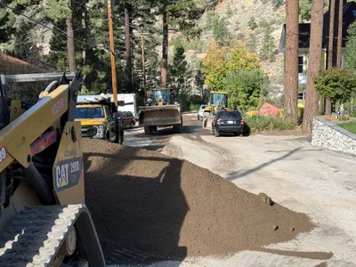
site grading
4m
trenching
4m
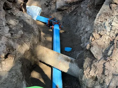
pipeline installation