No caption
IMG_6605.JPG
Details
Friday, March 14, 2025 · 6:31 PM
39.39455, -120.02139· 1651m
Location Context
1 / 5
USGS Topo
No elevation data
FEMA Flood
No flood data
OSM Infra
No address data
USDA Soil
No soil data
USGS Hydro
No hydro data
Apple iPhone 16 Pro
iPhone 16 Pro back triple camera 6.765mm f/1.78
6.764999865652793mmf/1.7799999713880651/632sISO 80
Flash did not fire, compulsory flash mode
Show all EXIF (43 fields)
ApertureValue1.6638
BrightnessValue6.9347
ColorSpace65535
CompositeImageGeneral Composite Image
ExifImageHeight4284
ExifVersion2.3.2
ExposureCompensation0
ExposureModeAuto
ExposureProgramNormal program
FlashpixVersion1.0
FocalLengthIn35mmFormat24
GPSDateStamp2025:03:15
GPSDestBearing270.0128
GPSDestBearingRefTrue North
GPSHPositioningError45.8019
GPSImgDirection270.0128
GPSImgDirectionRefT
GPSSpeed2.6392
GPSSpeedRefK
GPSTimeStamp1:31:44
HostComputeriPhone 16 Pro
latitude39.3946
LensInfo2.2200, 15.6600, 1.7800, 2.8000
LensMakeApple
longitude-120.0214
MeteringModePattern
ModifyDate2025-03-14T18:31:45.000Z
OffsetTime-07:00
OffsetTimeDigitized-07:00
OffsetTimeOriginal-07:00
ResolutionUnitinches
SceneCaptureTypeStandard
SceneTypeDirectly photographed
SensingMethodOne-chip color area sensor
ShutterSpeedValue9.3040
Software18.4
SubjectArea{"0":2849,"1":2137,"2":3291,"3":1884}
SubSecTimeDigitized463
SubSecTimeOriginal463
WhiteBalanceAuto
XResolution72
YCbCrPositioning1
YResolution72
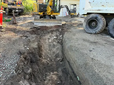
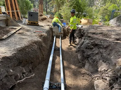
AI Analysis
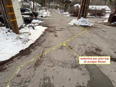
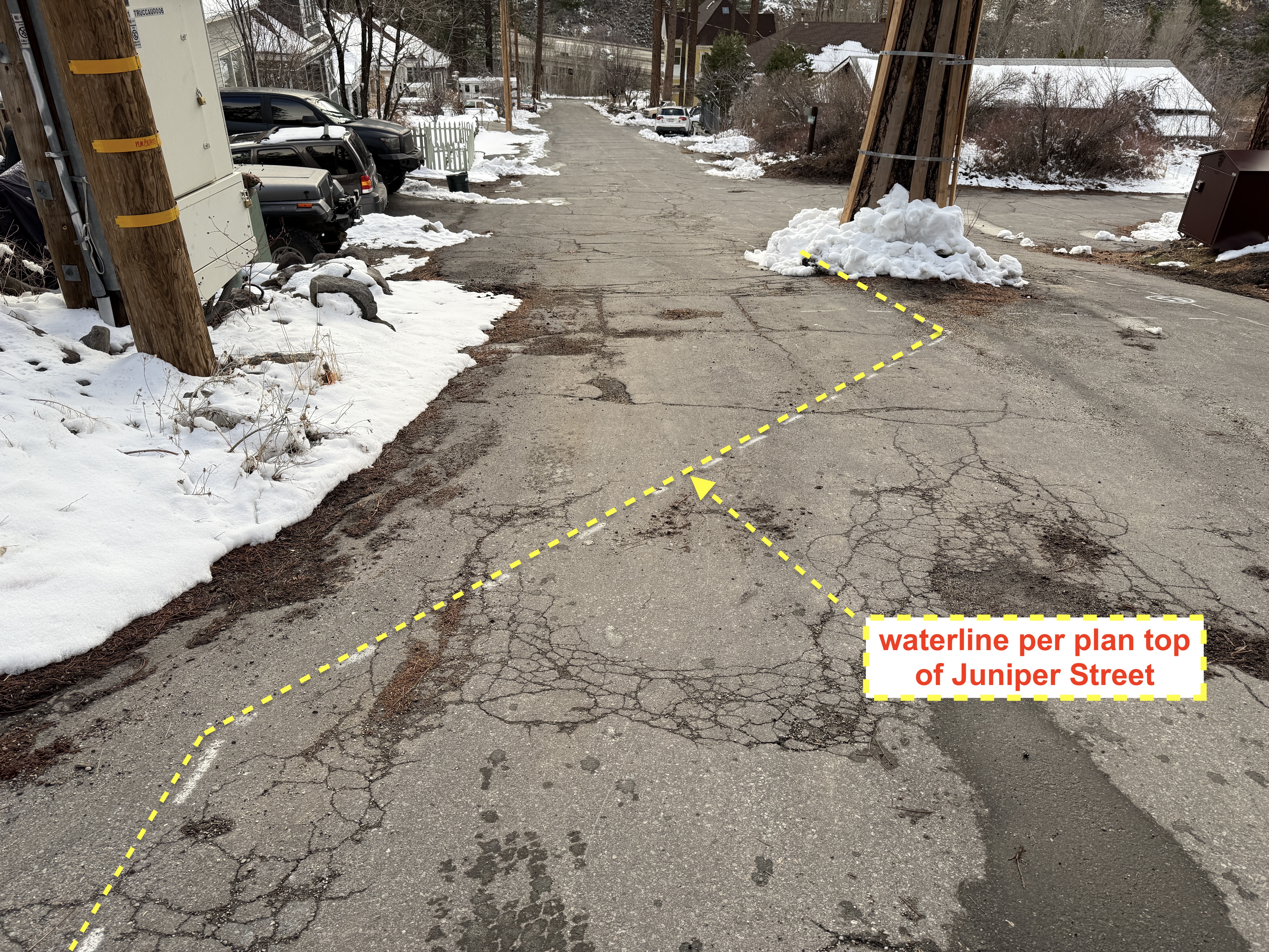
The image depicts a cracked asphalt road with snow covering its sides in Floriston, CA. A dashed yellow line is overlaid on the pavement, presumably indicating the planned path of a waterline as referenced in a label. Several vehicles and utility poles are visible along the street. The overall setting suggests a cold climate with the presence of snow.
drawing-sketch
cracked asphalt with snow overcast with snow visible clear, with parked vehicles along the side
No safety features are visibly in frame.
Equipment & Materials
Analyzed Apr 21, 2026
Nearby Photos
1m
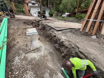
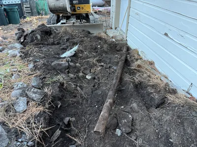
trenching
trenchingexcavation
mini excavator
2m
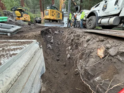
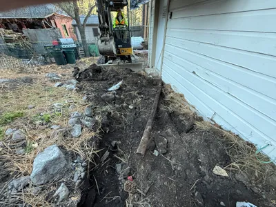
trenching
trenchingexcavation-work
excavator
3m
trenching
trenchingtrench
excavator
3m
excavation
excavationsoil-excavation
excavator
3m
trenching
trenchingexcavation
excavator
4m
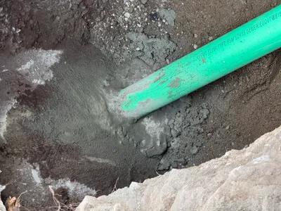
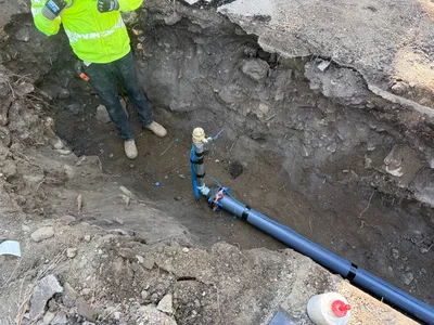
pipeline installation
pipeline-installationconcrete-encasement
concrete
5m
pipeline installation
trenchingpipe-installation
trenching tools
6m
other
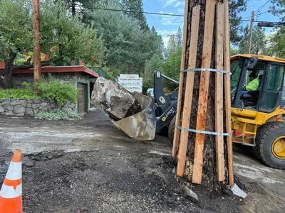
material-movingloader
loader
7m
trenching
trenchingpipe
pipe
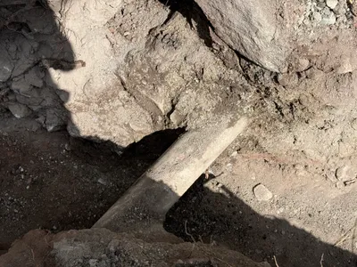
7m
trenching
trenchingplastic-pipe
plastic-pipe