No caption
IMG_6340.jpg
Details
Wednesday, February 26, 2025 · 12:34 PM
39.39467, -120.02241· 1639m
Location Context
1 / 5
USGS Topo
No elevation data
FEMA Flood
No flood data
OSM Infra
No address data
USDA Soil
No soil data
USGS Hydro
No hydro data
Apple iPhone 16 Pro
iPhone 16 Pro back triple camera 6.765mm f/1.78
6.764999865652793mmf/1.7799999713880651/1855sISO 80
Flash did not fire, compulsory flash mode
Show all EXIF (42 fields)
ApertureValue1.6638
BrightnessValue8.4395
ColorSpace65535
CompositeImageGeneral Composite Image
ExifImageHeight4284
ExifVersion2.3.2
ExposureCompensation0
ExposureModeAuto
ExposureProgramNormal program
FocalLengthIn35mmFormat24
GPSDateStamp2025:02:26
GPSDestBearing273.8294
GPSDestBearingRefTrue North
GPSHPositioningError4.7147
GPSImgDirection273.8294
GPSImgDirectionRefT
GPSSpeed0.1494
GPSSpeedRefK
GPSTimeStamp20:34:51
HostComputeriPhone 16 Pro
latitude39.3947
LensInfo2.2200, 15.6600, 1.7800, 2.8000
LensMakeApple
longitude-120.0224
MeteringModePattern
ModifyDate2025-02-26T12:34:52.000Z
OffsetTime-08:00
OffsetTimeDigitized-08:00
OffsetTimeOriginal-08:00
ResolutionUnitinches
SceneTypeDirectly photographed
SensingMethodOne-chip color area sensor
ShutterSpeedValue10.8574
Software18.4
SubjectArea{"0":2851,"1":2137,"2":3141,"3":1884}
SubSecTimeDigitized181
SubSecTimeOriginal181
TileLength896
TileWidth640
WhiteBalanceAuto
XResolution72
YResolution72
AI Analysis
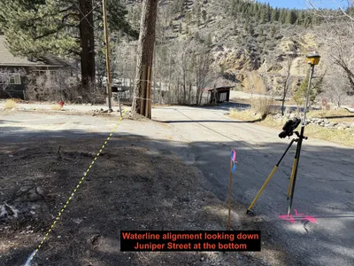
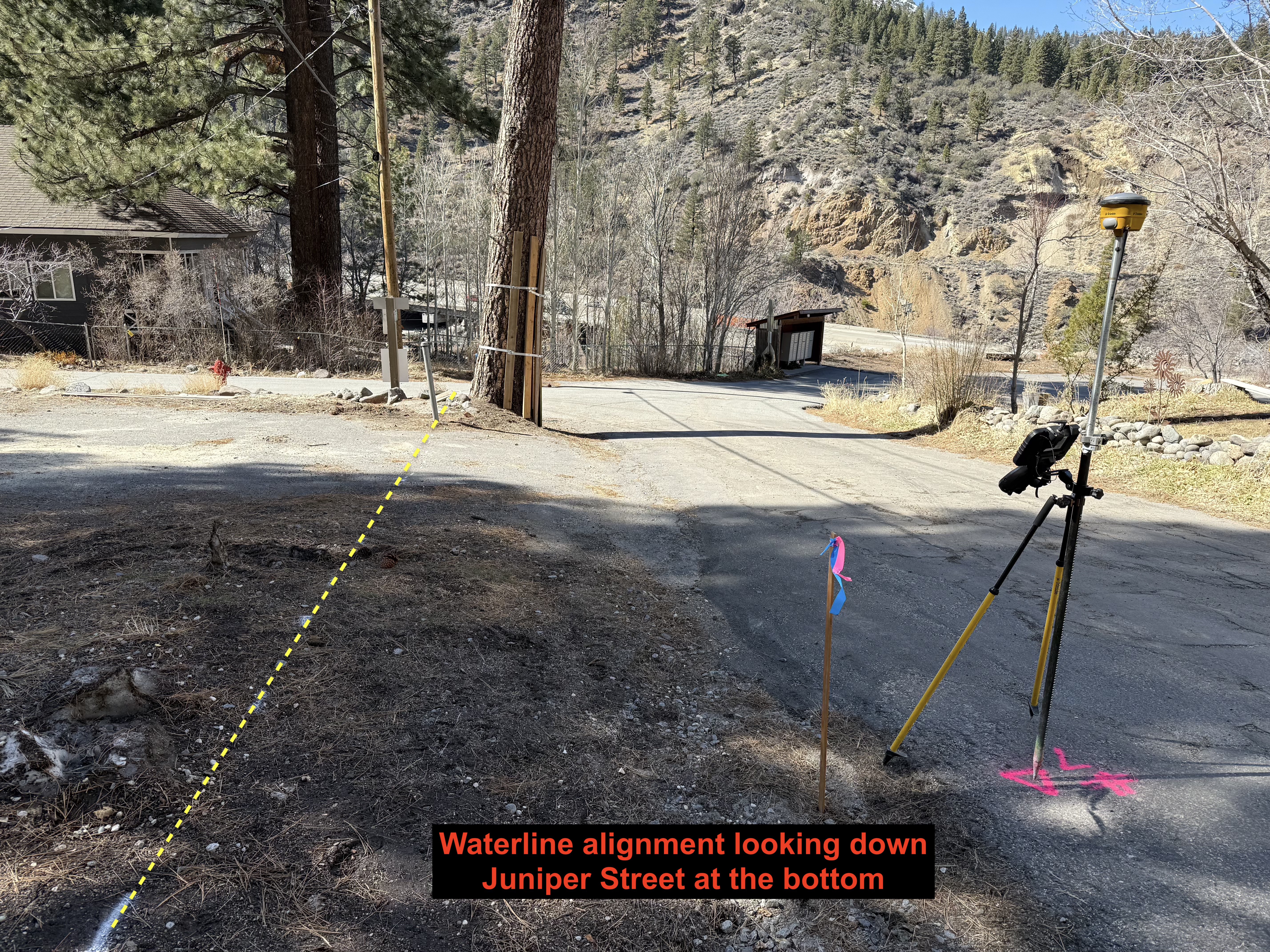
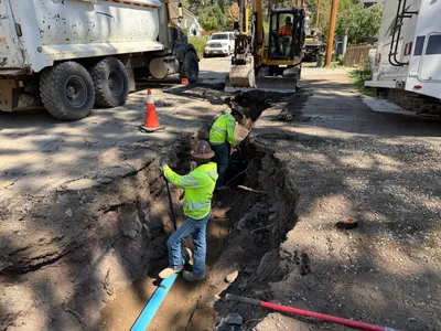
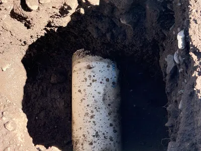
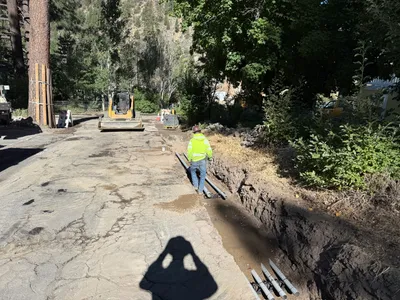
The image captures a street area with a survey setup at the center. A tripod with a GNSS receiver is positioned on the right side of the frame, and a stake with pink and blue tape is nearby, marking survey points. Yellow lines suggest the proposed waterline alignment. The background shows a residential area and hilly terrain.
survey-layout
paved road with some adjacent earth surfaces clear weather with good natural lighting open road access, no visible congestion
No safety features are visible in the frame.
Equipment & Materials
AI Tags
Analyzed Apr 21, 2026
Nearby Photos
0m
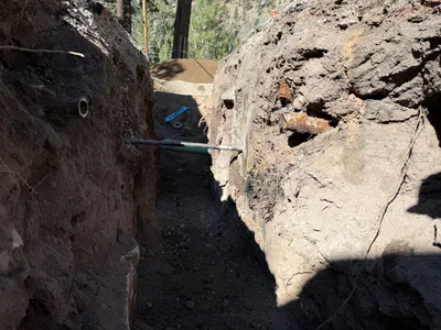
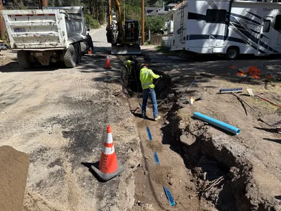
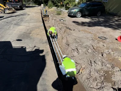
trenching
pipe-exposurelevel-checking
level-tool
0m
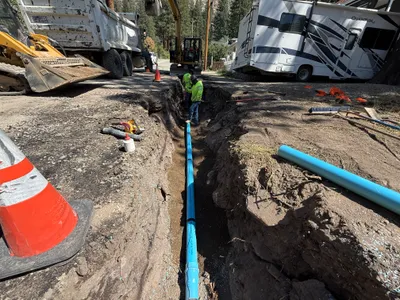
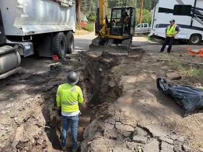
pipeline installation
pipeline-installationtrenching
backhoe-loader
1m
trenching
pipe-layingtrenching
excavator
3m
trenching
trenchingpipe-installation
excavator
3m
trenching
pipe-installationtrenching
construction vehicle
3m
other
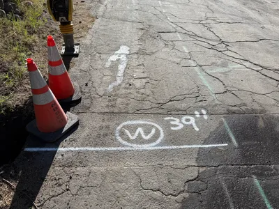
utility-markingpothole-preparation
utility-locator
3m
excavation
pothole-utility-locatingexposed-pipe
pipe
3m
trenching
trenchinginspection
compact track loader
3m
trenching
trenchingexcavation
excavator
4m
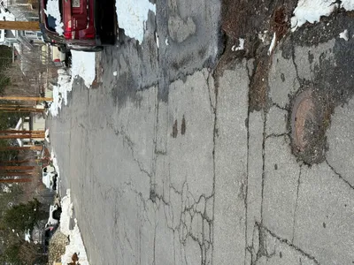
other
manhole-coversnow
parked cars