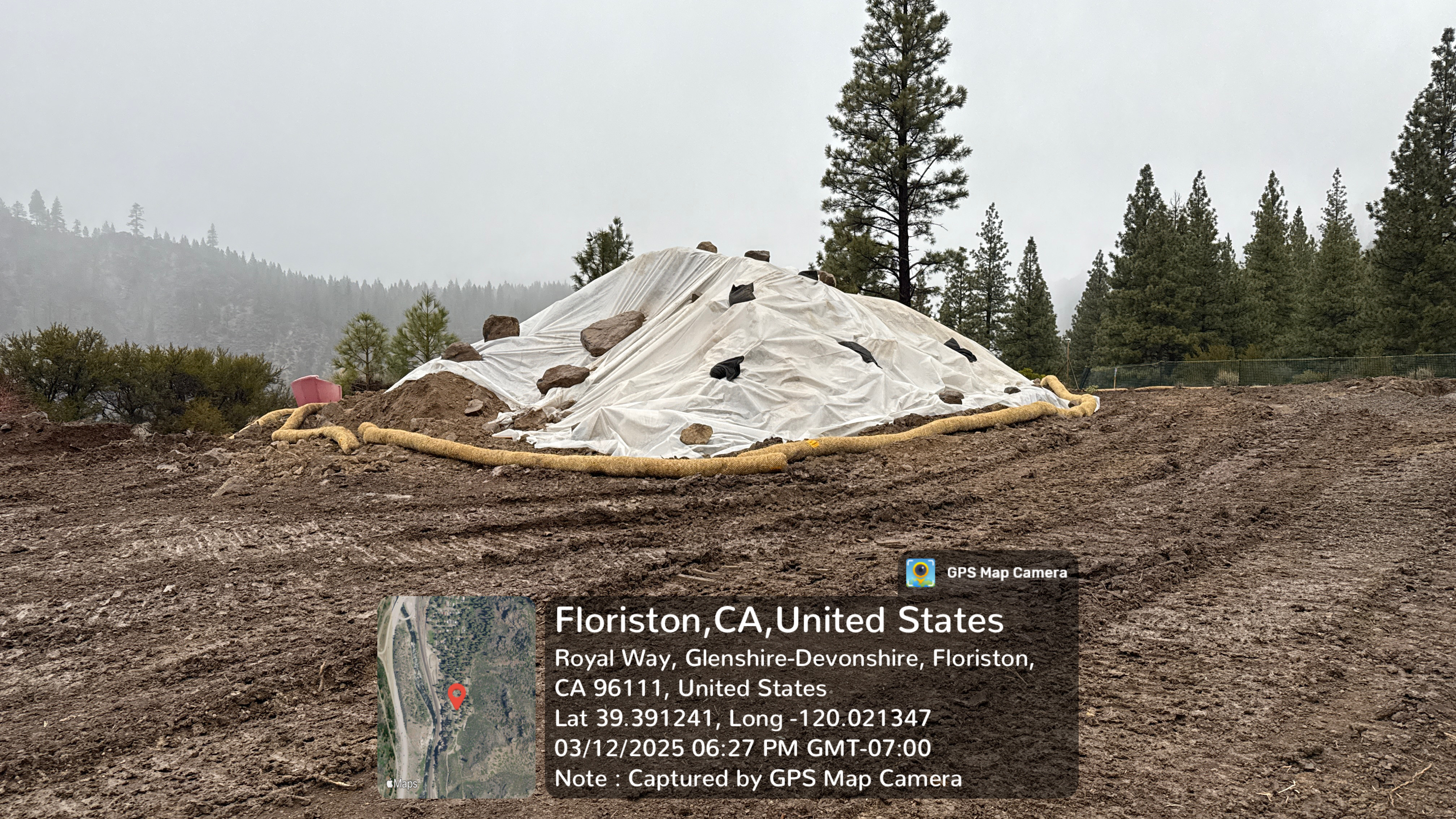
No caption
IMG_6584.JPG
Details
Wednesday, March 12, 2025 · 6:27 PM
39.39124, -120.02133· 1676m
Location Context
1 / 5
USGS Topo
No elevation data
FEMA Flood
No flood data
OSM Infra
No address data
USDA Soil
No soil data
USGS Hydro
No hydro data
Apple iPhone 16 Pro
iPhone 16 Pro back dual wide camera 6.765mm f/1.78
6.764999865652793mmf/1.7799999713880651/106sISO 200
Flash did not fire, compulsory flash mode
Show all EXIF (40 fields)
ApertureValue1.6638
BrightnessValue2.9284
ColorSpace1
CompositeImageGeneral Composite Image
DigitalZoomRatio1.0120
ExifImageHeight2268
ExifVersion2.3.2
ExposureCompensation0
ExposureModeAuto
ExposureProgramNormal program
FlashpixVersion1.0
FocalLengthIn35mmFormat24
GPSDateStamp2025:03:12
GPSDOP9.8071
GPSImgDirection255.1182
GPSImgDirectionRefT
GPSTimeStamp18:27:49
HostComputeriPhone 16 Pro
latitude39.3912
LensInfo2.2200, 6.7650, 1.7800, 2.2000
LensMakeApple
longitude-120.0213
MeteringModePattern
ModifyDate2025-03-12T18:27:49.000Z
OffsetTime-07:00
OffsetTimeDigitized-07:00
OffsetTimeOriginal-07:00
ResolutionUnitinches
SceneCaptureTypeStandard
SceneTypeDirectly photographed
SensingMethodOne-chip color area sensor
ShutterSpeedValue6.7217
Software18.4
SubjectArea{"0":2013,"1":1509,"2":2321,"3":1331}
SubSecTimeDigitized375
SubSecTimeOriginal375
WhiteBalanceAuto
XResolution72
YCbCrPositioning1
YResolution72
AI Analysis
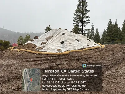
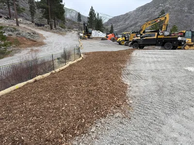
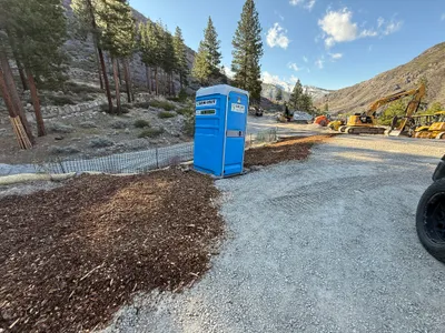
The image displays a mound of soil covered with a white tarp and secured with rocks. Erosion control socks are visible around the pile. The area is set in a forested location with visible pine trees and a muddy surface indicating recent rain.
swppp-erosion-control
muddy ground overcast with potential precipitation no apparent congestion, open staging area
No specific safety features are visible in the frame.
Equipment & Materials
Analyzed Apr 21, 2026
Nearby Photos
1m
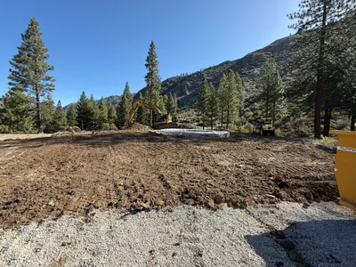
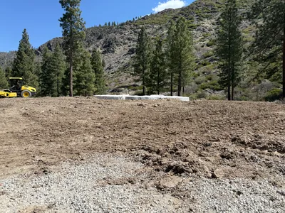
site grading
site-gradingearth-moving
excavator
2m
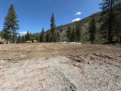
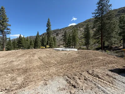
site grading
site-gradingroller
roller
2m
site grading
site-gradingroller
roller
2m
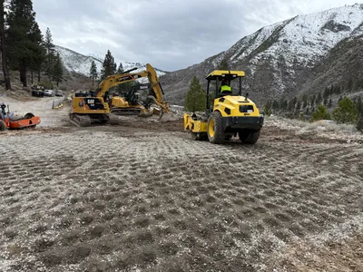
site grading
site-gradingcompaction
roller compactor
3m
site grading
site-gradingearthwork
excavator
3m
site grading
site-gradingequipment-staging
excavator
3m
site grading
site-preparationequipment-staging
excavators
3m
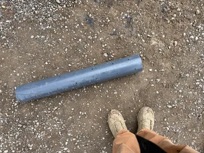
other
pipeground
gray pipe
4m
site grading
site-gradingcompactor
compactor
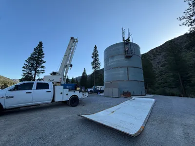
4m
mechanical installation
crane-operationtank-maintenance
crane