

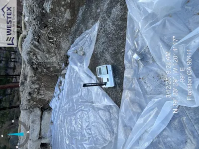
No caption
IMG_8232.JPG
Details
39.39127, -120.02130· 1681m
Location Context
1 / 5
USGS Topo
No elevation data
FEMA Flood
No flood data
OSM Infra
No address data
USDA Soil
No soil data
USGS Hydro
No hydro data
Show all EXIF (43 fields)
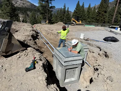
AI Analysis
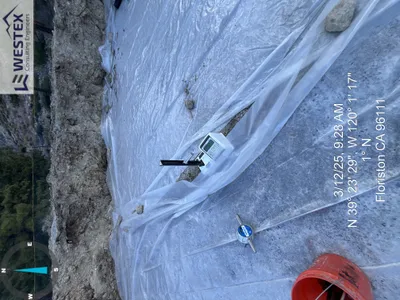
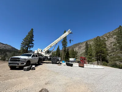
The area is covered with plastic sheeting with an inspection device placed on top, secured by rocks. There is disturbed soil around the perimeter of the covered area. A red bucket and a piece of equipment with a label are visible in the foreground. The setting appears to be an outdoor excavation site with surrounding natural terrain.
Equipment & Materials
AI Tags
Analyzed Apr 21, 2026
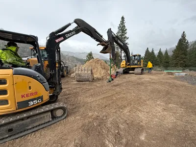
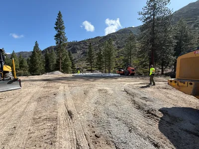
Nearby Photos

inspection documentation
survey layout
inspection documentation
1m
mechanical installation
1m
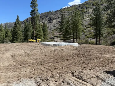
site grading
1m
site grading
2m
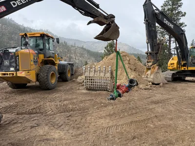
excavation
2m
trenching
2m
site grading
2m
other