

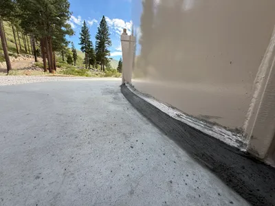
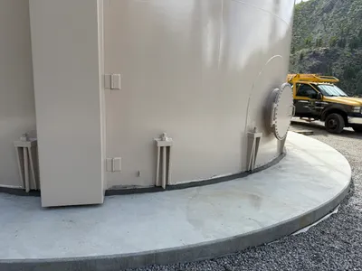
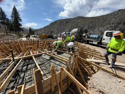
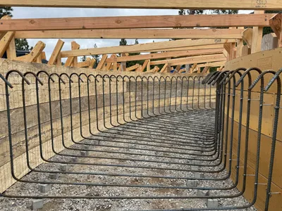
No caption
IMG_6511.JPG
Details
39.39144, -120.02108· 1680m
Location Context
1 / 5
USGS Topo
No elevation data
FEMA Flood
No flood data
OSM Infra
No address data
USDA Soil
No soil data
USGS Hydro
No hydro data
Show all EXIF (43 fields)
AI Analysis
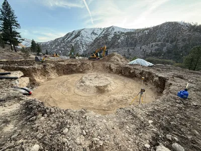
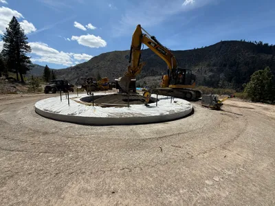
The image shows an excavated circular area likely intended for a tank foundation. Heavy machinery such as an excavator is visible in the background, and surveying equipment is placed around the site. The terrain is predominantly dirt with some rock, and there are snow-capped hills in the background. The presence of hoses suggests possible drainage or utility work.
Equipment & Materials
AI Tags
Analyzed Apr 21, 2026
Nearby Photos
excavation
1m
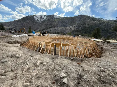
rebar formwork

1m
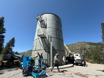
mechanical installation
1m
mechanical installation
2m
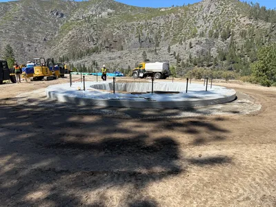
concrete work
2m
concrete work
2m
mechanical installation
3m
concrete work
3m
rebar formwork
3m
concrete work