No caption
IMG_6929.JPG
Details
Thursday, March 27, 2025 · 1:03 PM
39.39108, -120.02158· 1675m
Location Context
1 / 5
USGS Topo
No elevation data
FEMA Flood
No flood data
OSM Infra
No address data
USDA Soil
No soil data
USGS Hydro
No hydro data
Apple iPhone 16 Pro
iPhone 16 Pro back triple camera 6.765mm f/1.78
6.764999865652793mmf/1.7799999713880651/1271sISO 100
Flash did not fire, compulsory flash mode
Show all EXIF (43 fields)
ApertureValue1.6638
BrightnessValue7.5795
ColorSpace65535
CompositeImageGeneral Composite Image
ExifImageHeight4284
ExifVersion2.3.2
ExposureCompensation0
ExposureModeAuto
ExposureProgramNormal program
FlashpixVersion1.0
FocalLengthIn35mmFormat24
GPSDateStamp2025:03:27
GPSDestBearing46.8765
GPSDestBearingRefTrue North
GPSHPositioningError14
GPSImgDirection46.8765
GPSImgDirectionRefT
GPSSpeed1.0708
GPSSpeedRefK
GPSTimeStamp20:3:1
HostComputeriPhone 16 Pro
latitude39.3911
LensInfo2.2200, 15.6600, 1.7800, 2.8000
LensMakeApple
longitude-120.0216
MeteringModePattern
ModifyDate2025-03-27T13:03:02.000Z
OffsetTime-07:00
OffsetTimeDigitized-07:00
OffsetTimeOriginal-07:00
ResolutionUnitinches
SceneCaptureTypeStandard
SceneTypeDirectly photographed
SensingMethodOne-chip color area sensor
ShutterSpeedValue10.3113
Software18.4
SubjectArea{"0":2851,"1":2137,"2":3141,"3":1884}
SubSecTimeDigitized171
SubSecTimeOriginal171
WhiteBalanceAuto
XResolution72
YCbCrPositioning1
YResolution72
AI Analysis
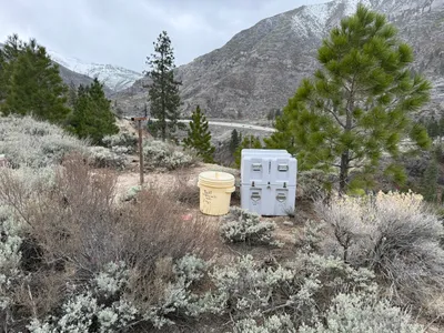
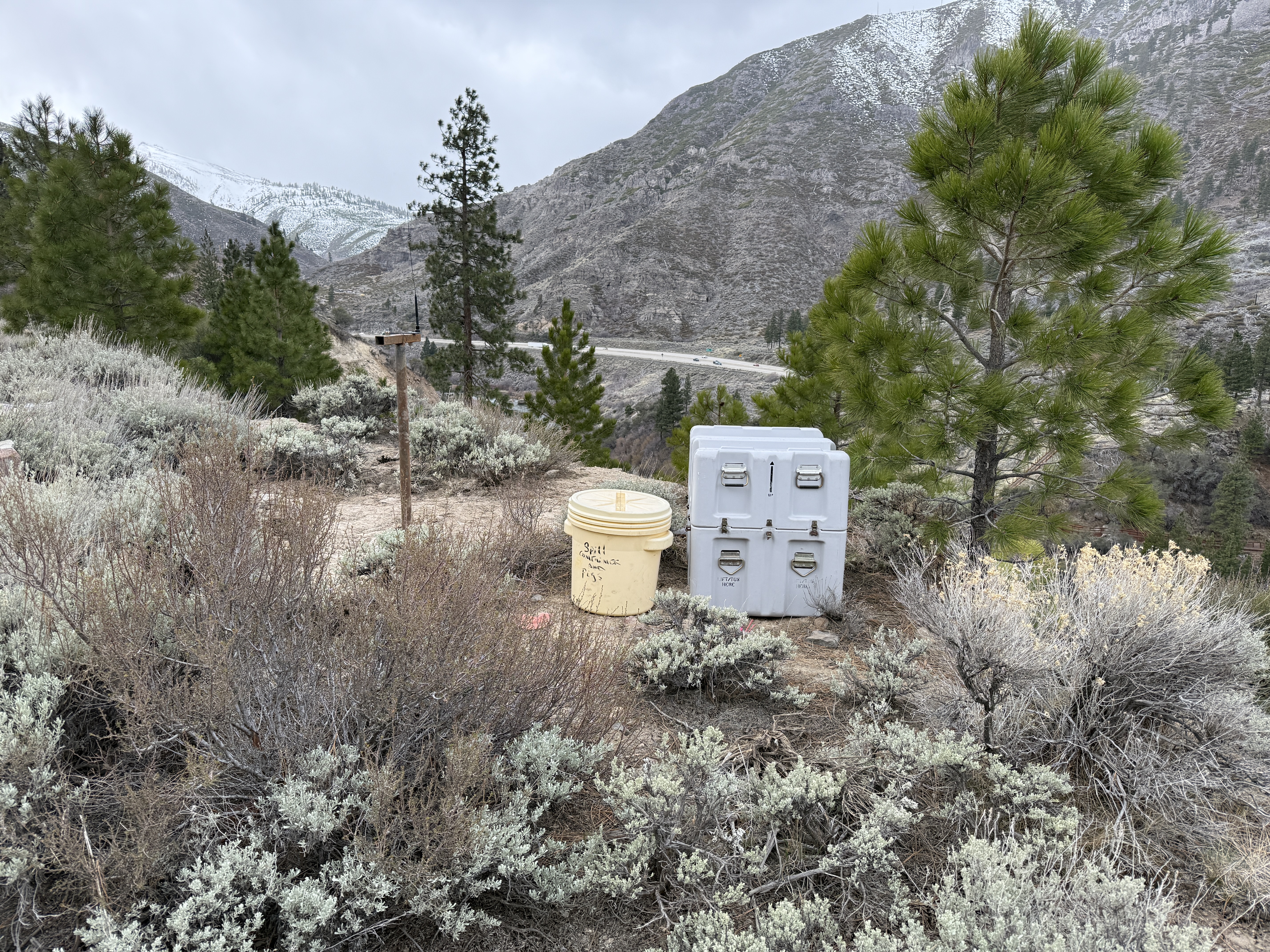
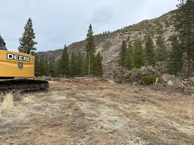
The image shows a site with vegetation, a yellow barrel labeled with text, and two gray storage boxes on a small hill. The area appears to be part of a SWPPP (Stormwater Pollution Prevention Plan) setup. There are trees and scrubby plants around, with a mountainous background visible.
swppp-erosion-control
sandy soil with vegetation cloudy, overcast open access on hillside
Safety features are not visibly present in frame.
Equipment & Materials
AI Tags
Analyzed Apr 21, 2026
Nearby Photos
4m
other
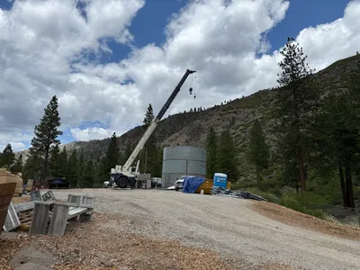
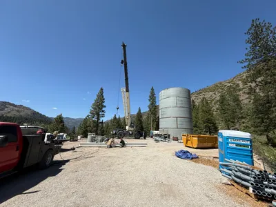
crane-operationmaterial-staging
crane
5m
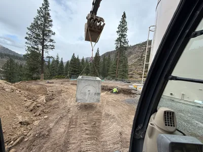
valve vault
vault-installationexcavation
excavator
7m
mechanical installation
tank-installationcrane-operation
crane

7m
mechanical installation
crane-operationtank-installation
crane

7m
other
crane-operationlifting
crane
12m
mechanical installation
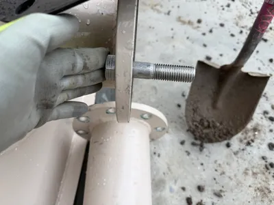
flange-adjustmentbolt-tightening
flange
12m
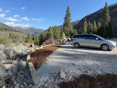
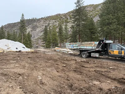
swppp erosion control
erosion-controlvehicle-parking
minivan
12m
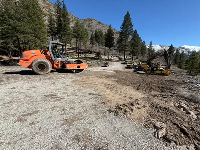
site grading
site-gradingearth-moving
roller
12m
site grading
site-gradingland-clearing
excavator
13m
other
material-deliverybundled-materials
flatbed truck