No caption
IMG_6863.JPG
Tags
Details
Tuesday, March 25, 2025 · 4:14 PM
39.39709, -120.02008· 1698m
Location Context
1 / 5
USGS Topo
No elevation data
FEMA Flood
No flood data
OSM Infra
No address data
USDA Soil
No soil data
USGS Hydro
No hydro data
Apple iPhone 16 Pro
iPhone 16 Pro back triple camera 6.765mm f/1.78
6.764999865652793mmf/1.7799999713880651/3145sISO 80
Flash did not fire, compulsory flash mode
Show all EXIF (43 fields)
ApertureValue1.6638
BrightnessValue9.1563
ColorSpace65535
CompositeImageGeneral Composite Image
ExifImageHeight4284
ExifVersion2.3.2
ExposureCompensation0
ExposureModeAuto
ExposureProgramNormal program
FlashpixVersion1.0
FocalLengthIn35mmFormat24
GPSDateStamp2025:03:25
GPSDestBearing222.4076
GPSDestBearingRefTrue North
GPSHPositioningError6.6059
GPSImgDirection222.4076
GPSImgDirectionRefT
GPSSpeed0
GPSSpeedRefK
GPSTimeStamp23:13:58
HostComputeriPhone 16 Pro
latitude39.3971
LensInfo2.2200, 15.6600, 1.7800, 2.8000
LensMakeApple
longitude-120.0201
MeteringModePattern
ModifyDate2025-03-25T16:14:01.000Z
OffsetTime-07:00
OffsetTimeDigitized-07:00
OffsetTimeOriginal-07:00
ResolutionUnitinches
SceneCaptureTypeStandard
SceneTypeDirectly photographed
SensingMethodOne-chip color area sensor
ShutterSpeedValue11.6187
Software18.4
SubjectArea{"0":2851,"1":2137,"2":3141,"3":1884}
SubSecTimeDigitized339
SubSecTimeOriginal339
WhiteBalanceAuto
XResolution72
YCbCrPositioning1
YResolution72
AI Analysis
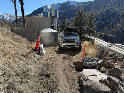
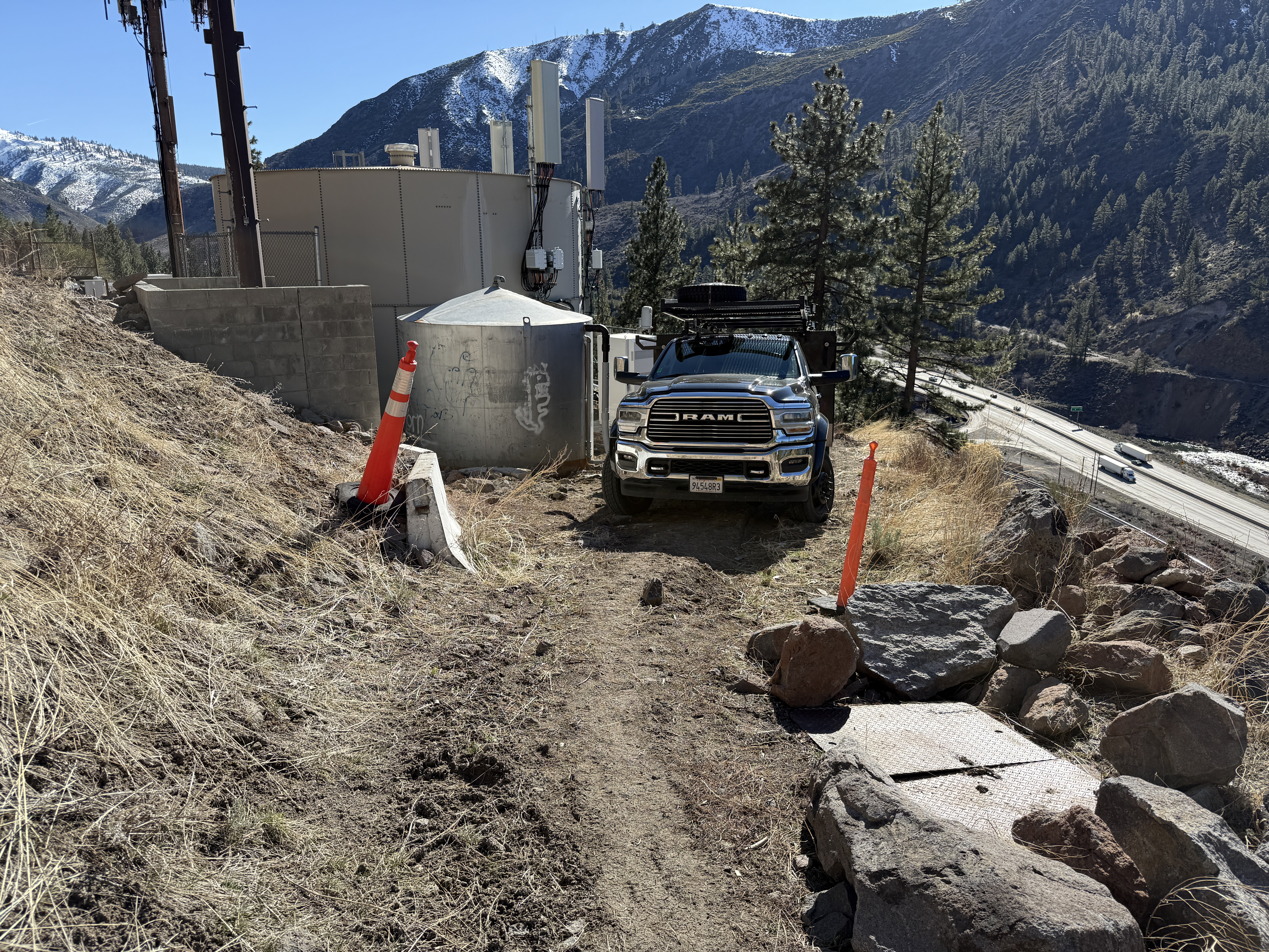
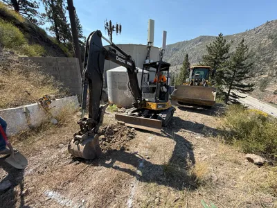
A RAM truck is parked on a dirt access road next to a cylindrical structure likely representing a water tank. Traffic cones and barriers are present, indicating some form of site access control. The road is unpaved and appears to be on a slope with rocks lining the path. In the background, a highway is visible beyond a tree line, suggesting a remote or rural setting.
other
dirt and rocky slope sunny vehicle parked on narrow dirt path
Traffic cones are visible for access control, but no PPE is evident in the frame.
Equipment & Materials
AI Tags
Analyzed Apr 21, 2026
Nearby Photos
5m
other
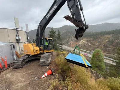
excavator-operationload-lifting
excavator
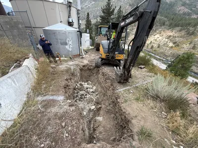
6m
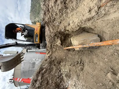
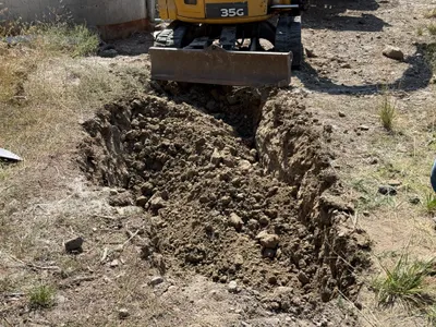
excavation
excavationrock-removal
excavator
7m
excavation
excavationearth-moving
mini excavator
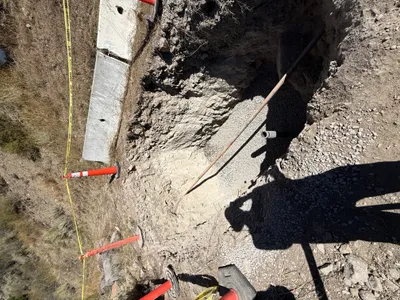
7m
trenching
trenchingexcavation-activity
tracked-excavator
8m
trenching
trenchingexcavation-safety
gravel
8m
excavation
excavationtrenching
excavator
8m
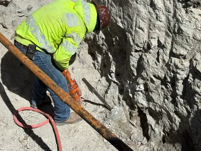
excavation
drillingrock-breaking
jackhammer
8m
trenching
trenchingexcavation
excavator
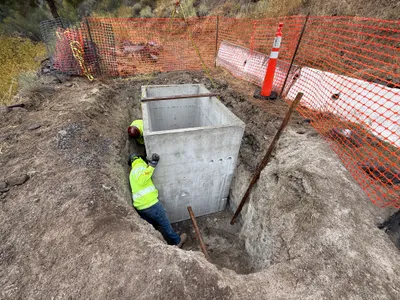
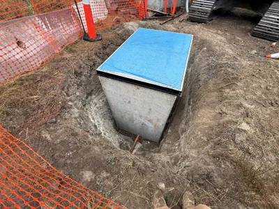
9m
trenching
trench-workconcrete-placement
concrete-tank
9m
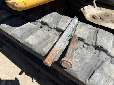
other
equipment-stagingmetal-bar
equipment tracks