
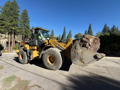
No caption
IMG_9544.JPG
Details
39.39464, -120.02148· 1657m
Location Context
1 / 5
USGS Topo
No elevation data
FEMA Flood
No flood data
OSM Infra
No address data
USDA Soil
No soil data
USGS Hydro
No hydro data
Show all EXIF (43 fields)
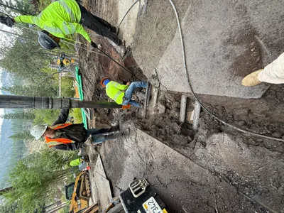
AI Analysis
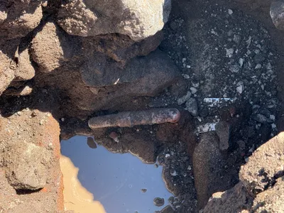
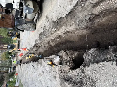
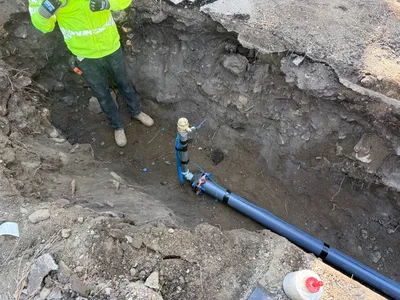
The image shows a pothole utility locating activity with an exposed pipe visible in the center of a shallow excavation. Surrounding the excavation are rocky soil and rubble. There is a small pool of water to the side, indicating possible moisture or recent excavation work. The conditions suggest a preliminary step in utility locating, but further context is needed to confirm the type of utility service.
Equipment & Materials
AI Tags
Analyzed Apr 21, 2026
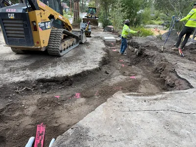
Nearby Photos
4m
trenching
4m
excavation
4m
trenching
4m
excavation
5m
trenching
5m
trenching
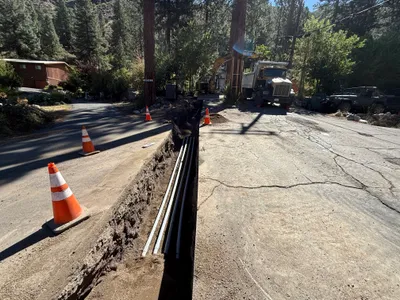
5m
trenching
5m
trenching
6m
trenching
6m
other