No caption
IMG_8023 2.JPG
Details
Friday, May 23, 2025 · 2:20 PM
39.39465, -120.02236· 1629m
Location Context
1 / 5
USGS Topo
No elevation data
FEMA Flood
No flood data
OSM Infra
No address data
USDA Soil
No soil data
USGS Hydro
No hydro data
Apple iPhone 16 Pro
iPhone 16 Pro back triple camera 6.765mm f/1.78
6.764999865652793mmf/1.7799999713880651/293sISO 100
Flash did not fire, compulsory flash mode
Show all EXIF (43 fields)
ApertureValue1.6638
BrightnessValue4.9806
ColorSpace65535
CompositeImageGeneral Composite Image
ExifImageHeight4284
ExifVersion2.3.2
ExposureCompensation0
ExposureModeAuto
ExposureProgramNormal program
FlashpixVersion1.0
FocalLengthIn35mmFormat24
GPSDateStamp2025:05:23
GPSDestBearing193.0660
GPSDestBearingRefTrue North
GPSHPositioningError16.9664
GPSImgDirection193.0660
GPSImgDirectionRefT
GPSSpeed0
GPSSpeedRefK
GPSTimeStamp21:20:25
HostComputeriPhone 16 Pro
latitude39.3946
LensInfo2.2200, 15.6600, 1.7800, 2.8000
LensMakeApple
longitude-120.0224
MeteringModePattern
ModifyDate2025-05-23T14:20:26.000Z
OffsetTime-07:00
OffsetTimeDigitized-07:00
OffsetTimeOriginal-07:00
ResolutionUnitinches
SceneCaptureTypeStandard
SceneTypeDirectly photographed
SensingMethodOne-chip color area sensor
ShutterSpeedValue8.1926
Software18.5
SubjectArea{"0":2851,"1":2137,"2":3141,"3":1884}
SubSecTimeDigitized816
SubSecTimeOriginal816
WhiteBalanceAuto
XResolution72
YCbCrPositioning1
YResolution72
AI Analysis
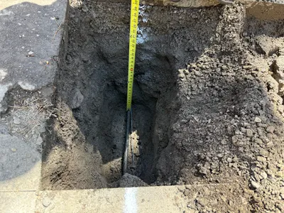
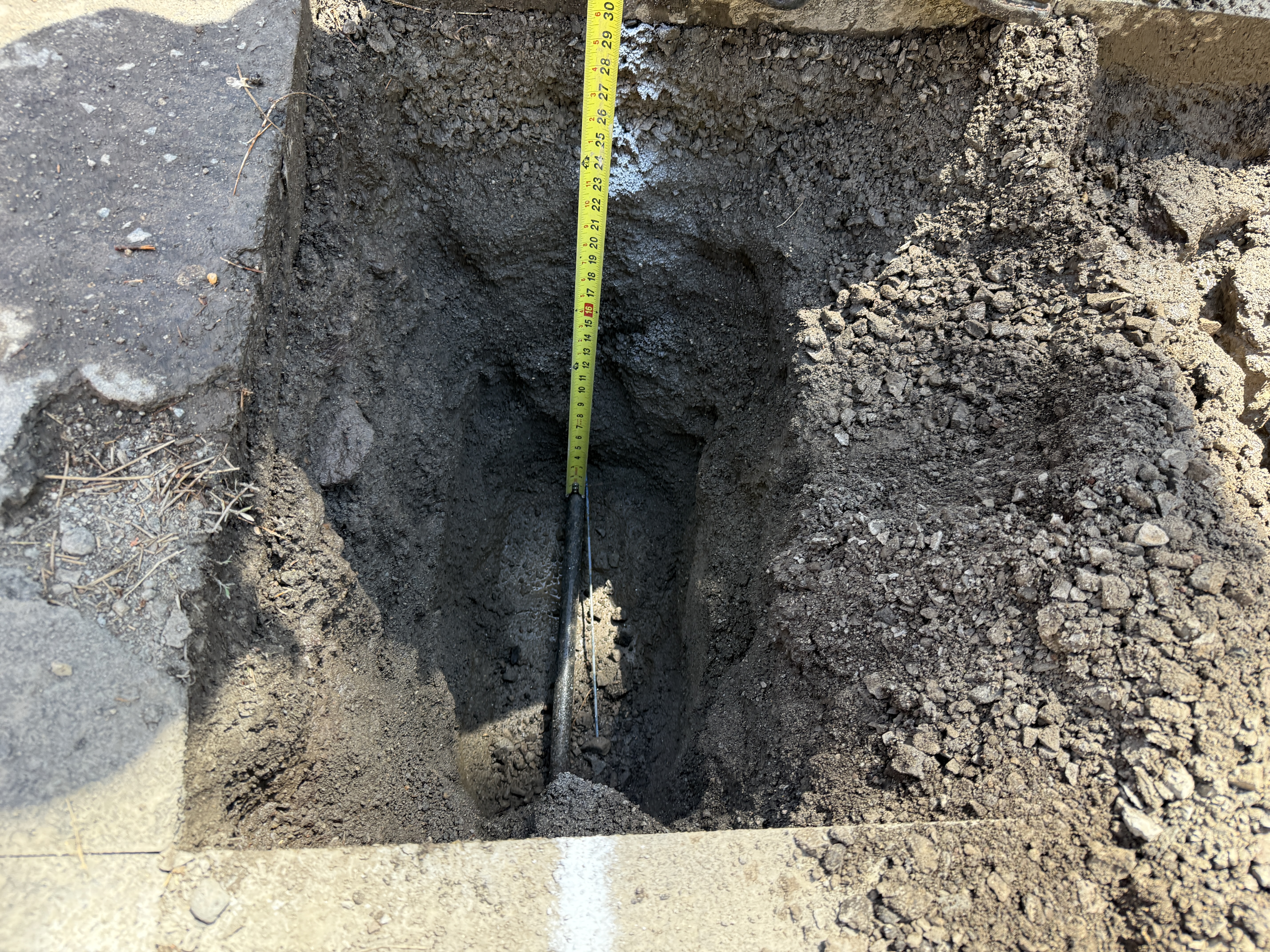
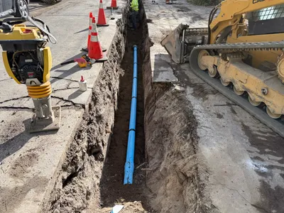
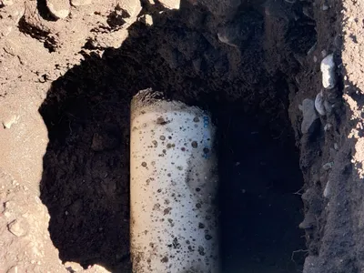
The image depicts a freshly dug excavation hole, likely used for locating utilities beneath the surface. A measuring tape is visible measuring the depth of the hole. Soil and asphalt chunks are piled next to the excavation area, with no visible heavy equipment or workers in the frame.
excavation
broken asphalt and soil visible sunny and clear lighting clear access around the excavation site
No safety features are visible in the frame.
Equipment & Materials
AI Tags
Analyzed Apr 21, 2026
Nearby Photos
1m
excavation
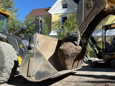
material-handlingexcavation
front-loader
2m
excavation
pothole-excavationutility-locating
pipe
2m
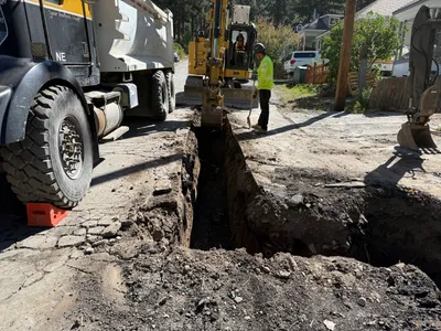
pipeline installation
pipeline-installationtrenching
tracked loader
2m
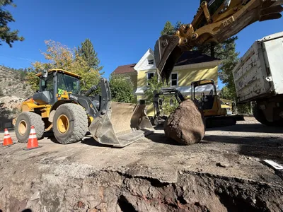
excavation
rock-movingequipment-operation
excavator
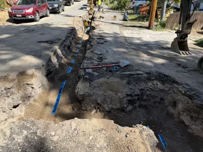
2m
trenching
trenchingutility-marking
excavator
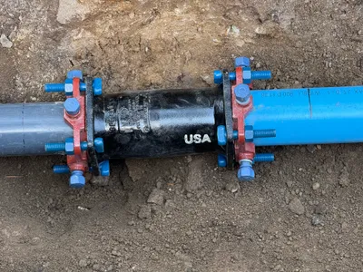
2m
pipeline installation
pipeline-connectionpipe-installation
pipes
2m
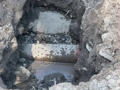
excavation
pothole-utility-locatingexposed-pipe
pipe
2m
trenching
trenchingexcavation
excavator
3m
excavation
excavationearth-moving
loader
3m
excavation
pothole-utility-locatingpipe
soil