
No caption
IMG_8018 2.JPG
Details
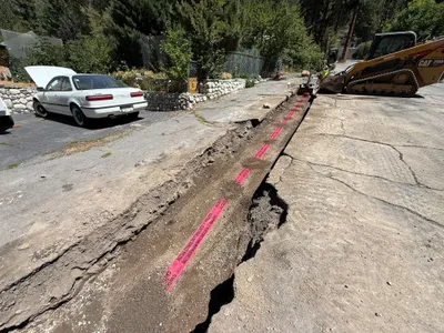
39.39470, -120.02216· 1641m
Location Context
1 / 5
USGS Topo
No elevation data
FEMA Flood
No flood data
OSM Infra
No address data
USDA Soil
No soil data
USGS Hydro
No hydro data
Show all EXIF (43 fields)
AI Analysis
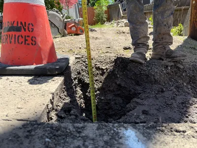
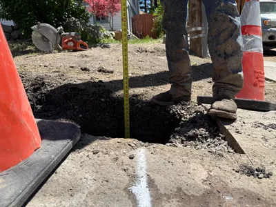
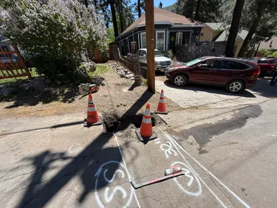
The image captures a pothole utility locating task. A traffic cone is positioned at the edge of a pavement, next to the pothole. A tape measure is used to determine the depth of the hole. A concrete saw rests in the background near a dirt area. A person, partially visible from the knees down, stands beside the trench, implying active work on the excavation.
Equipment & Materials
AI Tags
Analyzed Apr 21, 2026
Nearby Photos
1m
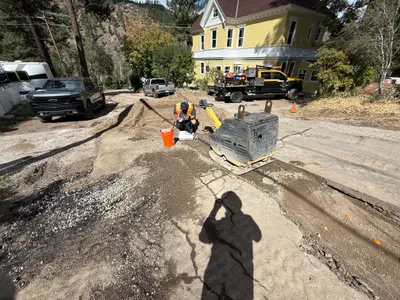
excavation
1m
site grading
1m
pipeline installation
2m
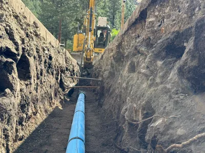
excavation
3m
other
3m
trenching
4m
inspection documentation
4m
trenching
4m
paving surface restoration
4m
trenching