No caption
IMG_9778.JPG
Details
39.39067, -120.02140· 1681m
Location Context
1 / 5
USGS Topo
No elevation data
FEMA Flood
No flood data
OSM Infra
No address data
USDA Soil
No soil data
USGS Hydro
No hydro data
Show all EXIF (44 fields)
AI Analysis
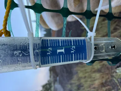
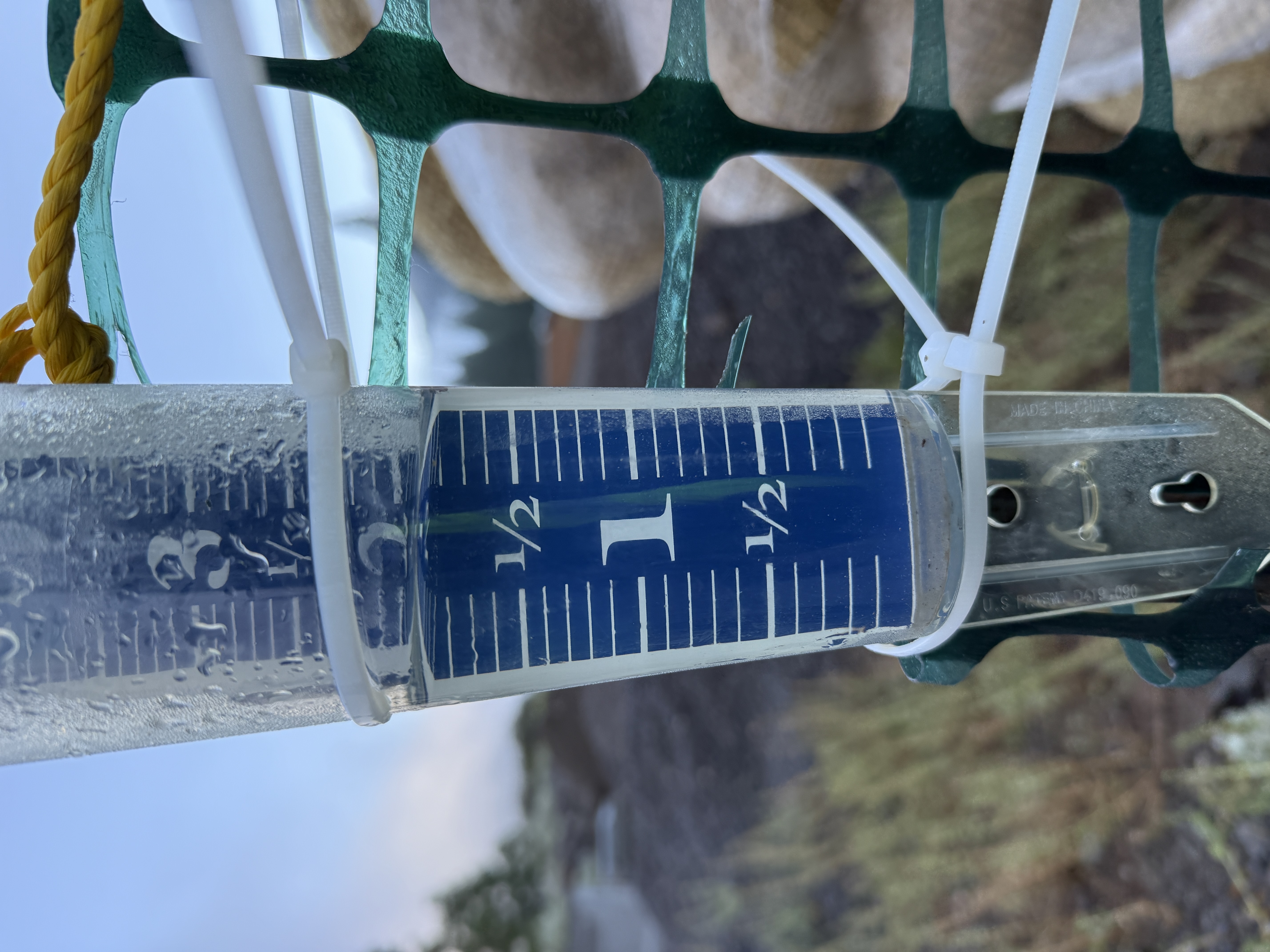
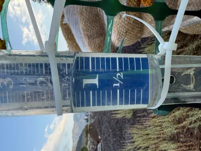
The image shows a rain gauge mounted on a green plastic fence or barrier with a yellow rope at the top. The rain gauge indicates a rainfall level of just over 1 inch. It is held in place with zip ties against a metal stake. The surroundings appear to include natural vegetation and an overcast sky.
Equipment & Materials
AI Tags
Analyzed Apr 21, 2026
Nearby Photos
2m
inspection documentation

2m
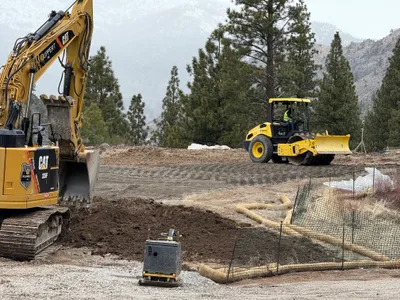
swppp erosion control
2m
swppp erosion control
6m
other
8m
swppp erosion control
8m
swppp erosion control
10m
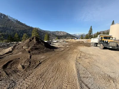
site grading
11m
swppp erosion control
12m
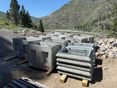
concrete work
14m
site grading