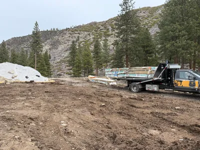
No caption
IMG_8778.JPG
Details
39.39110, -120.02142· 1678m
Location Context
1 / 5
USGS Topo
No elevation data
FEMA Flood
No flood data
OSM Infra
No address data
USDA Soil
No soil data
USGS Hydro
No hydro data
Show all EXIF (43 fields)
AI Analysis
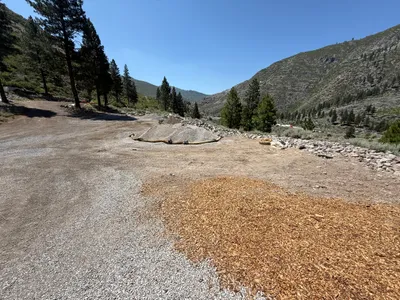
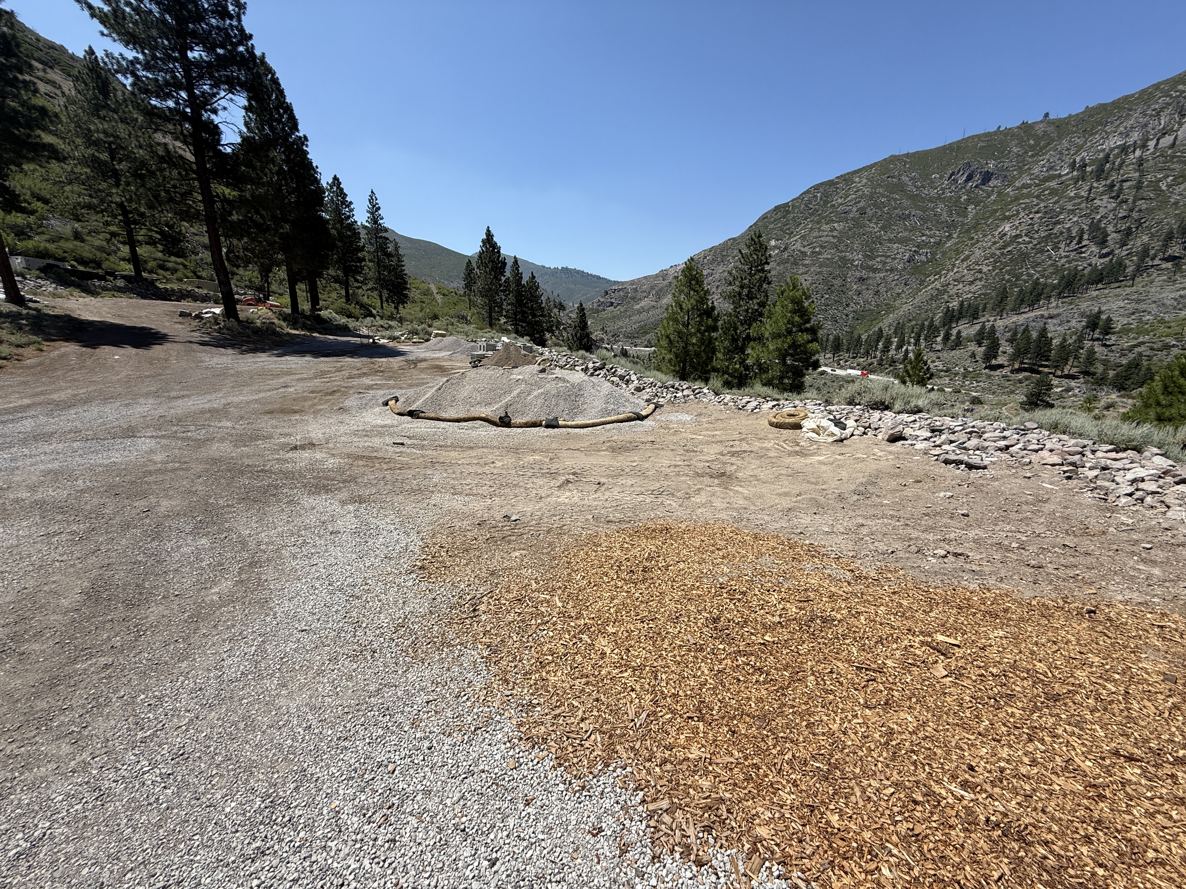
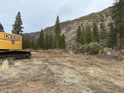
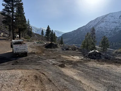
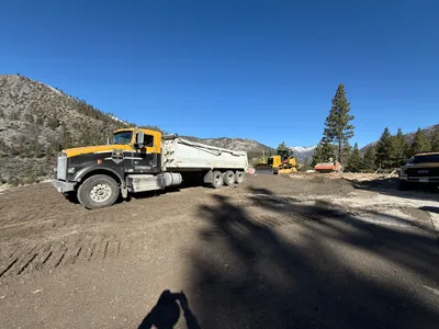
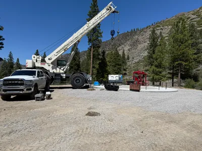
The image depicts a construction area in a mountainous region, primarily focused on site grading and erosion control. Gravel is spread across parts of the site, and an erosion control wattle is positioned on the ground. The terrain is uneven with a mixture of gravel, dirt, and mulch. Trees border the area, and no active equipment or personnel are visible.
Equipment & Materials
Analyzed Apr 21, 2026
Nearby Photos
0m
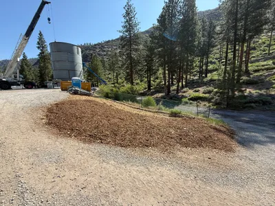
site grading
1m
swppp erosion control
2m
other
3m
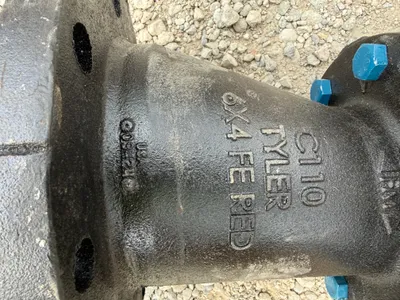
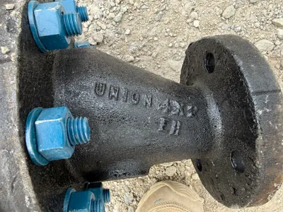
valve vault
3m
valve vault
3m
swppp erosion control
4m
site grading
5m
swppp erosion control
7m
site grading
7m
excavation