No caption
IMG_8644.JPG
Details
Tuesday, July 8, 2025 · 10:22 AM
39.39090, -120.02130· 1683m
Location Context
1 / 5
USGS Topo
No elevation data
FEMA Flood
No flood data
OSM Infra
No address data
USDA Soil
No soil data
USGS Hydro
No hydro data
Apple iPhone 16 Pro
iPhone 16 Pro back triple camera 6.765mm f/1.78
6.764999865652793mmf/1.7799999713880651/7353sISO 80
Flash did not fire, compulsory flash mode
Show all EXIF (43 fields)
ApertureValue1.6638
BrightnessValue10.6256
ColorSpace65535
CompositeImageGeneral Composite Image
ExifImageHeight4284
ExifVersion2.3.2
ExposureCompensation0
ExposureModeAuto
ExposureProgramNormal program
FlashpixVersion1.0
FocalLengthIn35mmFormat24
GPSDateStamp2025:07:08
GPSDestBearing295.8136
GPSDestBearingRefTrue North
GPSHPositioningError3.0526
GPSImgDirection295.8136
GPSImgDirectionRefT
GPSSpeed0.1817
GPSSpeedRefK
GPSTimeStamp17:21:58
HostComputeriPhone 16 Pro
latitude39.3909
LensInfo2.2200, 15.6600, 1.7800, 2.8000
LensMakeApple
longitude-120.0213
MeteringModePattern
ModifyDate2025-07-08T10:22:00.000Z
OffsetTime-07:00
OffsetTimeDigitized-07:00
OffsetTimeOriginal-07:00
ResolutionUnitinches
SceneCaptureTypeStandard
SceneTypeDirectly photographed
SensingMethodOne-chip color area sensor
ShutterSpeedValue12.8441
Software18.5
SubjectArea{"0":2849,"1":2137,"2":3291,"3":1884}
SubSecTimeDigitized044
SubSecTimeOriginal044
WhiteBalanceAuto
XResolution72
YCbCrPositioning1
YResolution72
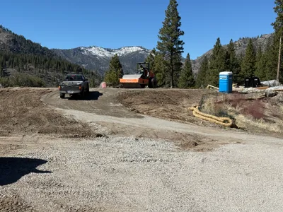
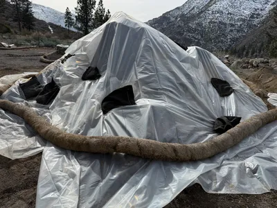
AI Analysis
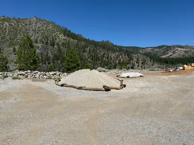
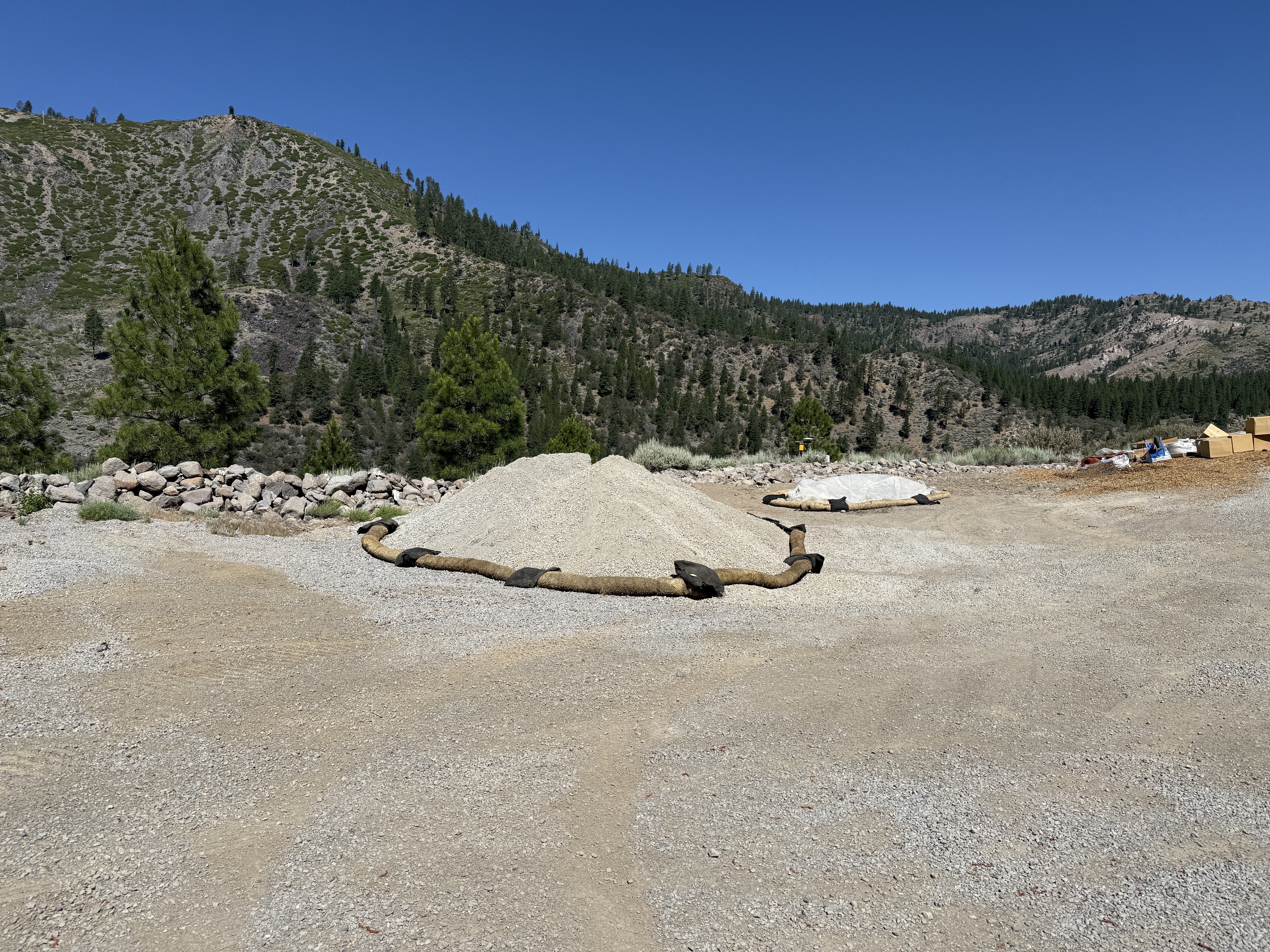
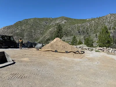
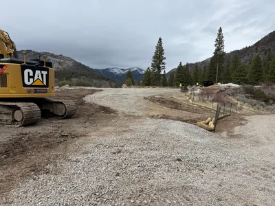
The image shows a pile of gravel surrounded by erosion control barriers, likely for SWPPP compliance. Another covered pile is visible in the background using similar measures. The setting is an open, rocky area with nearby mountainous terrain.
swppp-erosion-control
gravel and dirt surface with rocky surroundings clear and sunny open area with visible access
Safety features such as erosion control barriers are visible.
Equipment & Materials
AI Tags
Analyzed Apr 21, 2026
Nearby Photos
1m
swppp erosion control
erosion-controlswppp-setup
utility-vehicle

3m
swppp erosion control
erosion-controlsite-stabilization
excavator
3m
other
water-tankportable-restroom
generator
4m
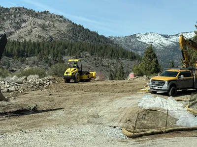
site grading
site-gradingsurface-preparation
roller-compactor
4m
pipeline installation
pipe-stagingmaterial-transport
worksite vehicle
4m
swppp erosion control
erosion-controlsediment-control
plastic sheeting
5m
site grading
gradingsite-preparation
excavator
5m
site grading
gradingsite-preparation
excavator
6m
site grading
site-gradingcompacting
roller-compactor
7m
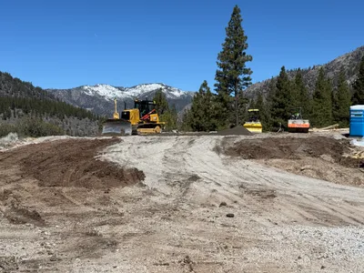
site grading
earth-movingsite-grading
bulldozer