
No caption
IMG_8642.JPG
Details
Tuesday, July 8, 2025 · 10:20 AM
39.39141, -120.02100· 1683m
Location Context
1 / 5
USGS Topo
No elevation data
FEMA Flood
No flood data
OSM Infra
No address data
USDA Soil
No soil data
USGS Hydro
No hydro data
Apple iPhone 16 Pro
iPhone 16 Pro back triple camera 6.765mm f/1.78
6.764999865652793mmf/1.7799999713880651/3953sISO 80
Flash did not fire, compulsory flash mode
Show all EXIF (43 fields)
ApertureValue1.6638
BrightnessValue9.5601
ColorSpace65535
CompositeImageGeneral Composite Image
ExifImageHeight4284
ExifVersion2.3.2
ExposureCompensation0
ExposureModeAuto
ExposureProgramNormal program
FlashpixVersion1.0
FocalLengthIn35mmFormat24
GPSDateStamp2025:07:08
GPSDestBearing293.3357
GPSDestBearingRefTrue North
GPSHPositioningError5.8460
GPSImgDirection293.3357
GPSImgDirectionRefT
GPSSpeed0.9894
GPSSpeedRefK
GPSTimeStamp17:20:53
HostComputeriPhone 16 Pro
latitude39.3914
LensInfo2.2200, 15.6600, 1.7800, 2.8000
LensMakeApple
longitude-120.0210
MeteringModePattern
ModifyDate2025-07-08T10:20:53.000Z
OffsetTime-07:00
OffsetTimeDigitized-07:00
OffsetTimeOriginal-07:00
ResolutionUnitinches
SceneCaptureTypeStandard
SceneTypeDirectly photographed
SensingMethodOne-chip color area sensor
ShutterSpeedValue11.9486
Software18.5
SubjectArea{"0":2849,"1":2137,"2":3291,"3":1884}
SubSecTimeDigitized434
SubSecTimeOriginal434
WhiteBalanceAuto
XResolution72
YCbCrPositioning1
YResolution72
AI Analysis
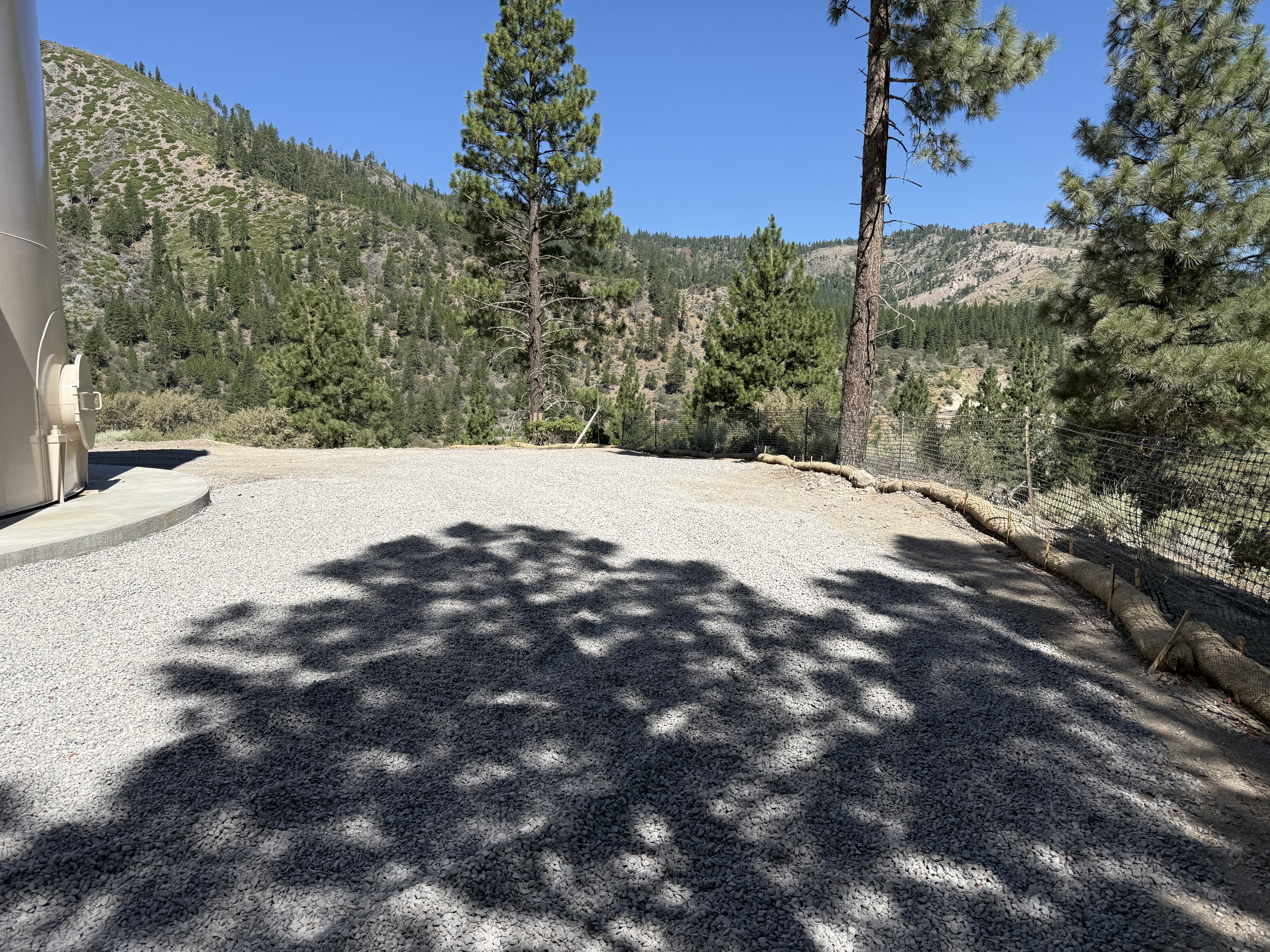
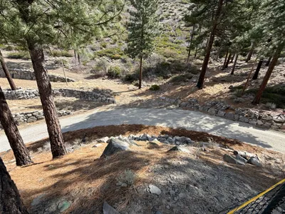
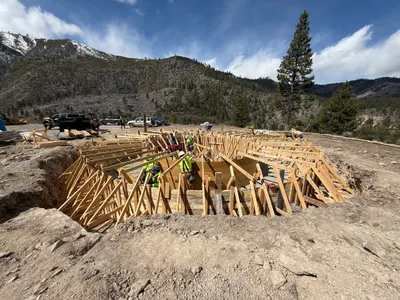
The image shows an area covered with gravel, bordered by erosion control wattles on one side. There is a chain-link fence along the perimeter. Trees and a distant mountain landscape are visible in the background, indicating a rural setting. A cylindrical structure is partially visible on the left edge of the frame.
swppp-erosion-control
gravel clear sunny day open access, unobstructed
Safety controls such as fencing are visible. No PPE is visible in the frame.
Equipment & Materials
AI Tags
Analyzed Apr 21, 2026
Nearby Photos
2m
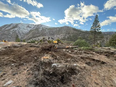
excavation
excavationland-clearing
excavator

2m
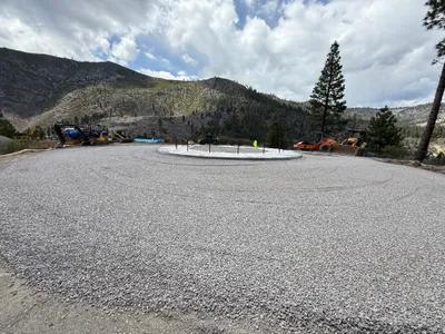
site grading
site-gradingearth-moving
bulldozer
2m
site grading
site-gradingground-preparation
roller
3m
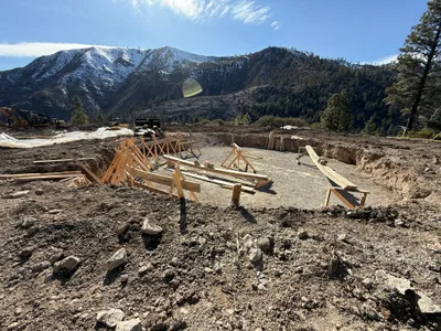
excavation
excavationformwork-setup
construction vehicle
4m
swppp erosion control
erosion-controldirt-road
stones
4m
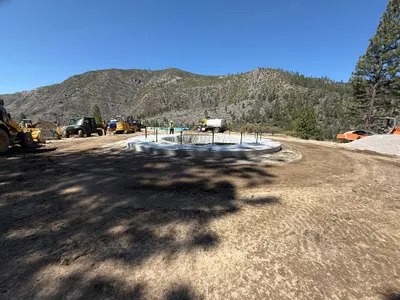
concrete work
formwork-setupconcrete-pouring
concrete-mixer
5m
concrete work
foundation-preparationroller-compactor
roller-compactor
5m
rebar formwork
formwork-constructionwooden formwork
wood
5m
rebar formwork
formwork-constructionfoundation-work
trucks
6m
concrete work
foundation-constructionearthwork
loader