No caption
IMG_6923.JPG
Details
Thursday, March 27, 2025 · 11:49 AM
39.39142, -120.02104· 1679m
Location Context
1 / 5
USGS Topo
No elevation data
FEMA Flood
No flood data
OSM Infra
No address data
USDA Soil
No soil data
USGS Hydro
No hydro data
Apple iPhone 16 Pro
iPhone 16 Pro back triple camera 2.22mm f/2.2
2.220000028611935mmf/2.21/694sISO 50
Flash did not fire, compulsory flash mode
Show all EXIF (43 fields)
ApertureValue2.2750
BrightnessValue8.1874
ColorSpace65535
CompositeImageGeneral Composite Image
ExifImageHeight3024
ExifVersion2.3.2
ExposureCompensation0
ExposureModeAuto
ExposureProgramNormal program
FlashpixVersion1.0
FocalLengthIn35mmFormat14
GPSDateStamp2025:03:27
GPSDestBearing88.7059
GPSDestBearingRefTrue North
GPSHPositioningError23.4547
GPSImgDirection88.7059
GPSImgDirectionRefT
GPSSpeed0.8308
GPSSpeedRefK
GPSTimeStamp18:49:14
HostComputeriPhone 16 Pro
latitude39.3914
LensInfo2.2200, 15.6600, 1.7800, 2.8000
LensMakeApple
longitude-120.0210
MeteringModePattern
ModifyDate2025-03-27T11:49:15.000Z
OffsetTime-07:00
OffsetTimeDigitized-07:00
OffsetTimeOriginal-07:00
ResolutionUnitinches
SceneCaptureTypeStandard
SceneTypeDirectly photographed
SensingMethodOne-chip color area sensor
ShutterSpeedValue9.4387
Software18.4
SubjectArea{"0":2000,"1":1511,"2":2217,"3":1330}
SubSecTimeDigitized778
SubSecTimeOriginal778
WhiteBalanceAuto
XResolution72
YCbCrPositioning1
YResolution72
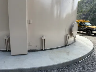
AI Analysis
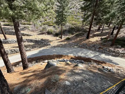
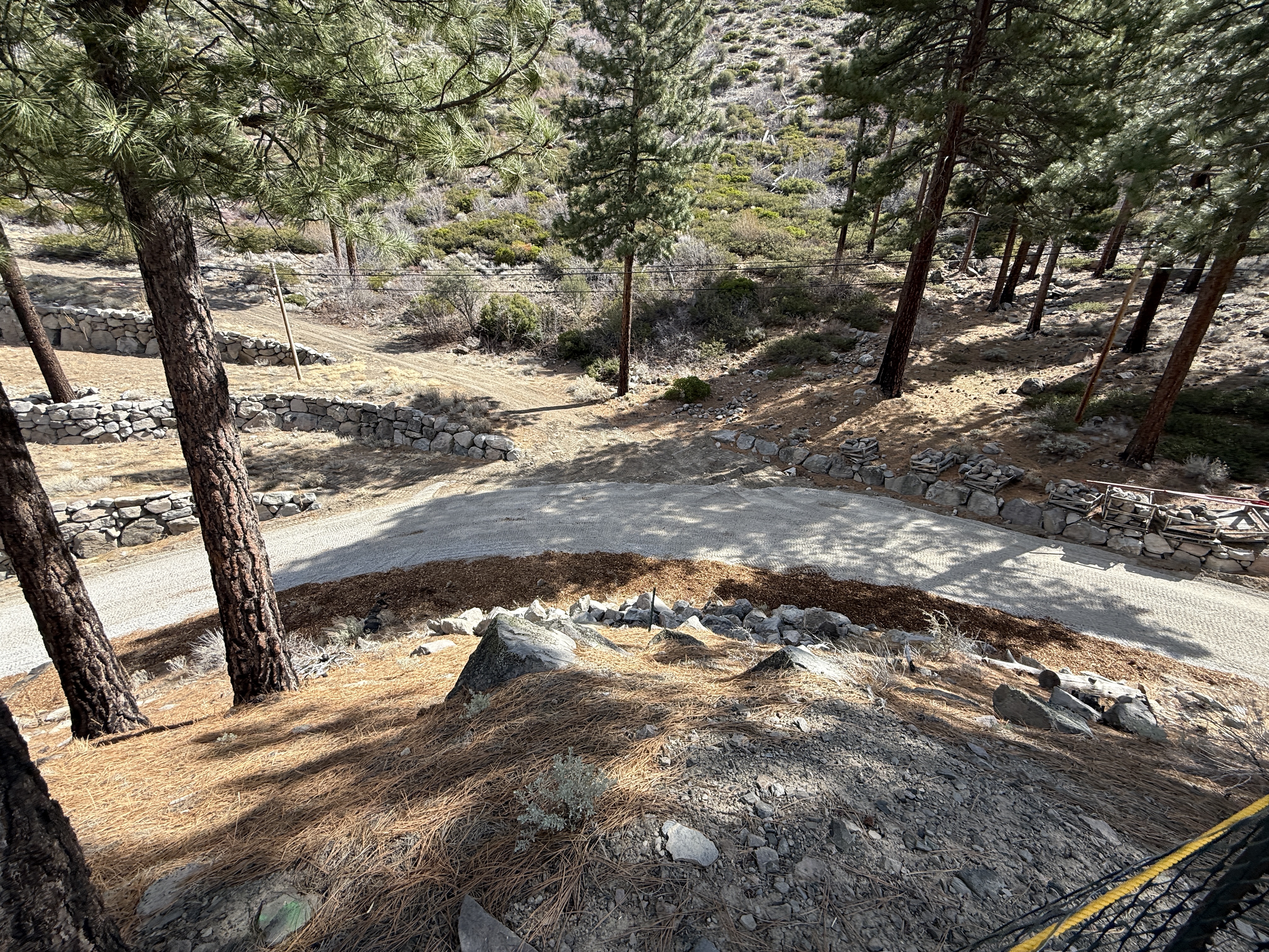
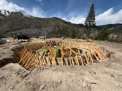
A dirt access road curves through a wooded area, with stone retaining walls lining the sides. Pine trees are present along the road, providing natural shading. The slope exhibits signs of erosion control, such as rock barriers. The setting appears remote with no active construction machinery or personnel visible.
swppp-erosion-control
dirt road and rocky slope sunny with natural shadows unobstructed access with erosion control measures visible
No safety features are visible in frame.
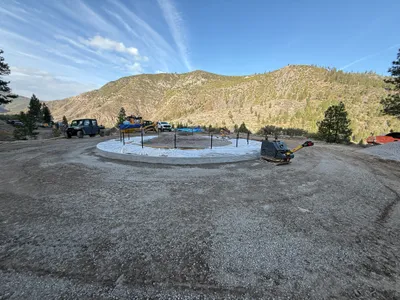
Equipment & Materials
Analyzed Apr 21, 2026
Nearby Photos
1m
excavation
excavationformwork-setup
construction vehicle
2m
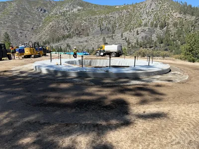
concrete work
seam-sealingconcrete-sealing
sealant
3m
rebar formwork
formwork-constructionfoundation-work
trucks
3m
concrete work
foundation-preparationroller-compactor
roller-compactor
3m
concrete work
tank-foundation-constructionfoundation-work
backhoe
3m
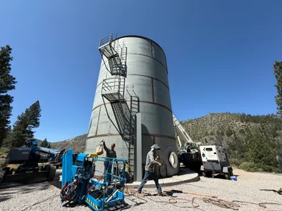
mechanical installation
tank-maintenancematerial-handling
crane

3m
mechanical installation
tank-setupequipment-operation
boom-lift
4m
mechanical installation
tank-installationmechanical-securement
utility-truck
4m
concrete work
foundation-constructionearthwork
loader
4m
concrete work
formwork-setupconcrete-pouring
concrete-mixer