No caption
IMG_2780.JPG
Details
Friday, January 30, 2026 · 1:49 PM
39.39696, -120.02015· 1697m
Location Context
1 / 5
USGS Topo
No elevation data
FEMA Flood
No flood data
OSM Infra
No address data
USDA Soil
No soil data
USGS Hydro
No hydro data
Apple iPhone 16 Pro
iPhone 16 Pro back triple camera 6.765mm f/1.78
6.764999865652793mmf/1.7799999713880651/2053sISO 80
Flash did not fire, compulsory flash mode
Show all EXIF (43 fields)
ApertureValue1.6638
BrightnessValue8.5385
ColorSpace65535
CompositeImageGeneral Composite Image
ExifImageHeight4284
ExifVersion2.3.2
ExposureCompensation0
ExposureModeAuto
ExposureProgramNormal program
FlashpixVersion1.0
FocalLengthIn35mmFormat24
GPSDateStamp2026:01:30
GPSDestBearing238.0719
GPSDestBearingRefTrue North
GPSHPositioningError3.7572
GPSImgDirection238.0719
GPSImgDirectionRefT
GPSSpeed0.7465
GPSSpeedRefK
GPSTimeStamp21:49:40
HostComputeriPhone 16 Pro
latitude39.3970
LensInfo2.2200, 15.6600, 1.7800, 2.8000
LensMakeApple
longitude-120.0202
MeteringModePattern
ModifyDate2026-01-30T13:49:41.000Z
OffsetTime-08:00
OffsetTimeDigitized-08:00
OffsetTimeOriginal-08:00
ResolutionUnitinches
SceneCaptureTypeStandard
SceneTypeDirectly photographed
SensingMethodOne-chip color area sensor
ShutterSpeedValue11.0038
Software26.2.1
SubjectArea{"0":2853,"1":2135,"2":3142,"3":1881}
SubSecTimeDigitized287
SubSecTimeOriginal287
WhiteBalanceAuto
XResolution72
YCbCrPositioning1
YResolution72
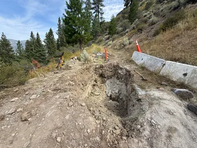
AI Analysis
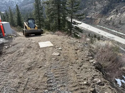
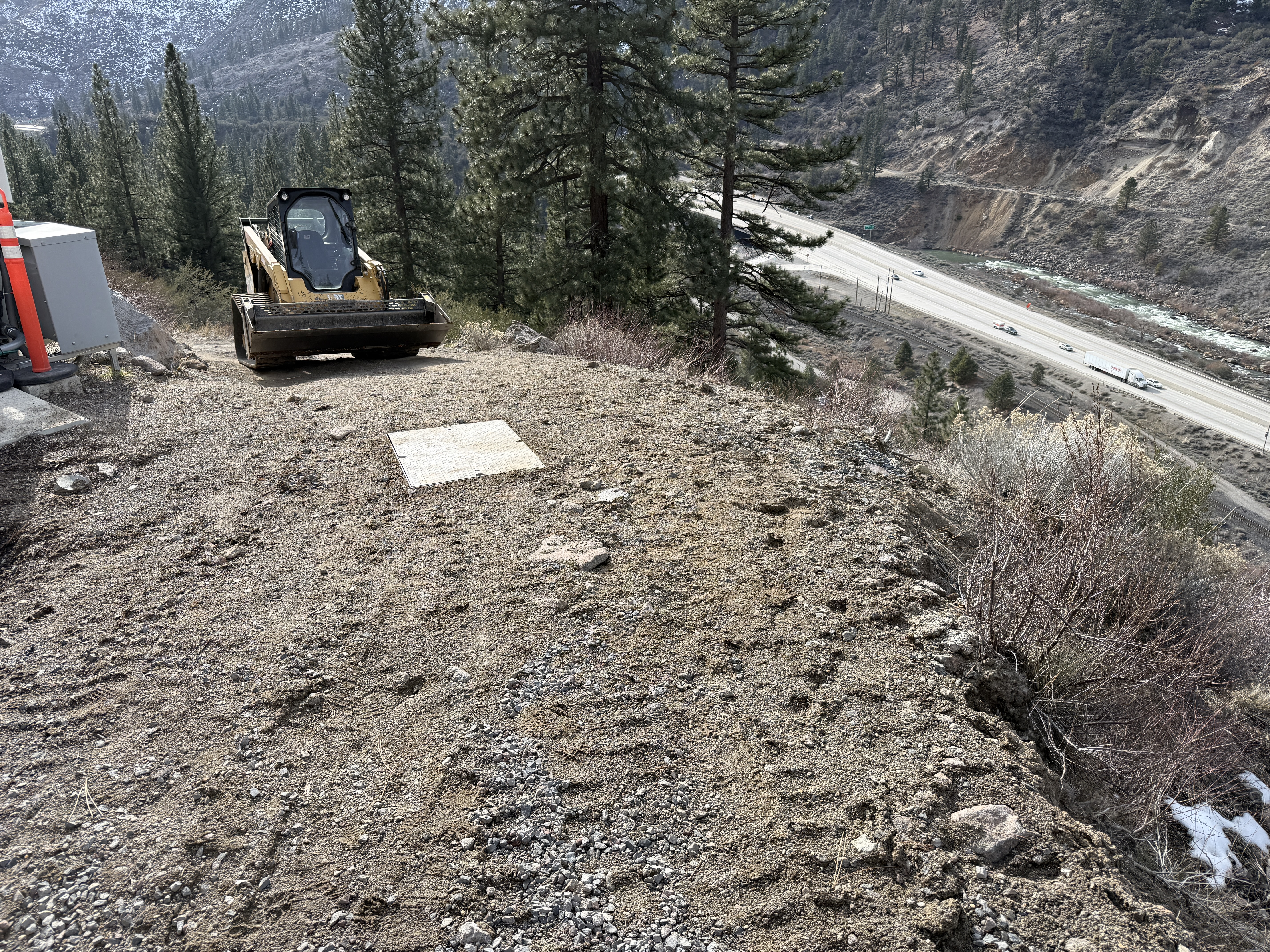
A compact track loader is positioned on a dirt embankment, surrounded by vegetation and overlooking a highway. The soil surface has visible tracks and appears to be part of an erosion control area. Beyond the embankment, the highway is visible with light traffic, and the surrounding area is forested with tall pine trees.
swppp-erosion-control
dirt with visible tire tracks clear daylight open access via dirt path
No specific safety features are visible in the frame.
Equipment & Materials
AI Tags
Analyzed Apr 21, 2026
Nearby Photos
1m
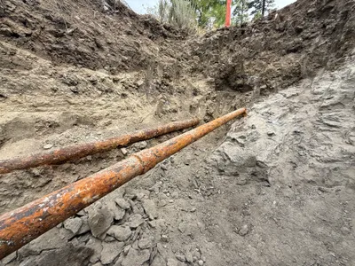
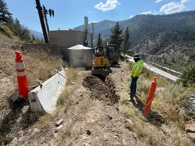
excavation
trenchingpipe-exposure
rusty metal pipes
1m
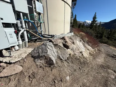
electrical
electrical-installationcable-routing
conduits
2m
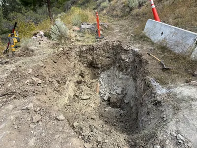
excavation
excavationsite-prep
shovel

2m
trenching
trenchingexcavation
excavator
2m
trenching
trenchingexcavation
concrete
3m
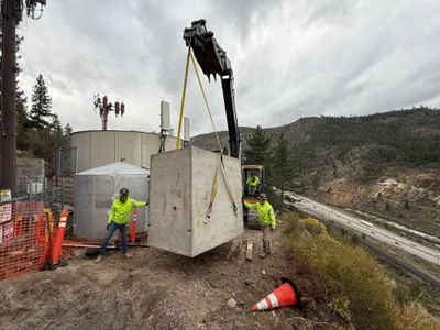
mechanical installation
hoistingvault-placement
crane
3m
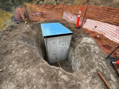
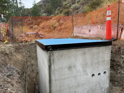
other
excavationstructure-placement
concrete-structure
3m
excavation
excavationtrenching
compactor
3m
excavation
excavationtrenching
excavator

3m
trenching
trenchingpipe-exposure
rusted pipes