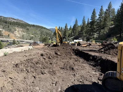
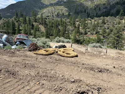
No caption
IMG_2772.JPG
Details
39.39203, -120.02251· 1635m
Location Context
1 / 5
USGS Topo
No elevation data
FEMA Flood
No flood data
OSM Infra
No address data
USDA Soil
No soil data
USGS Hydro
No hydro data
Show all EXIF (43 fields)
AI Analysis
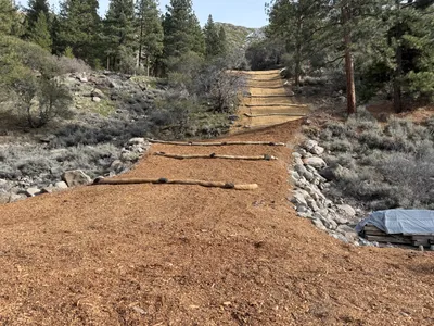
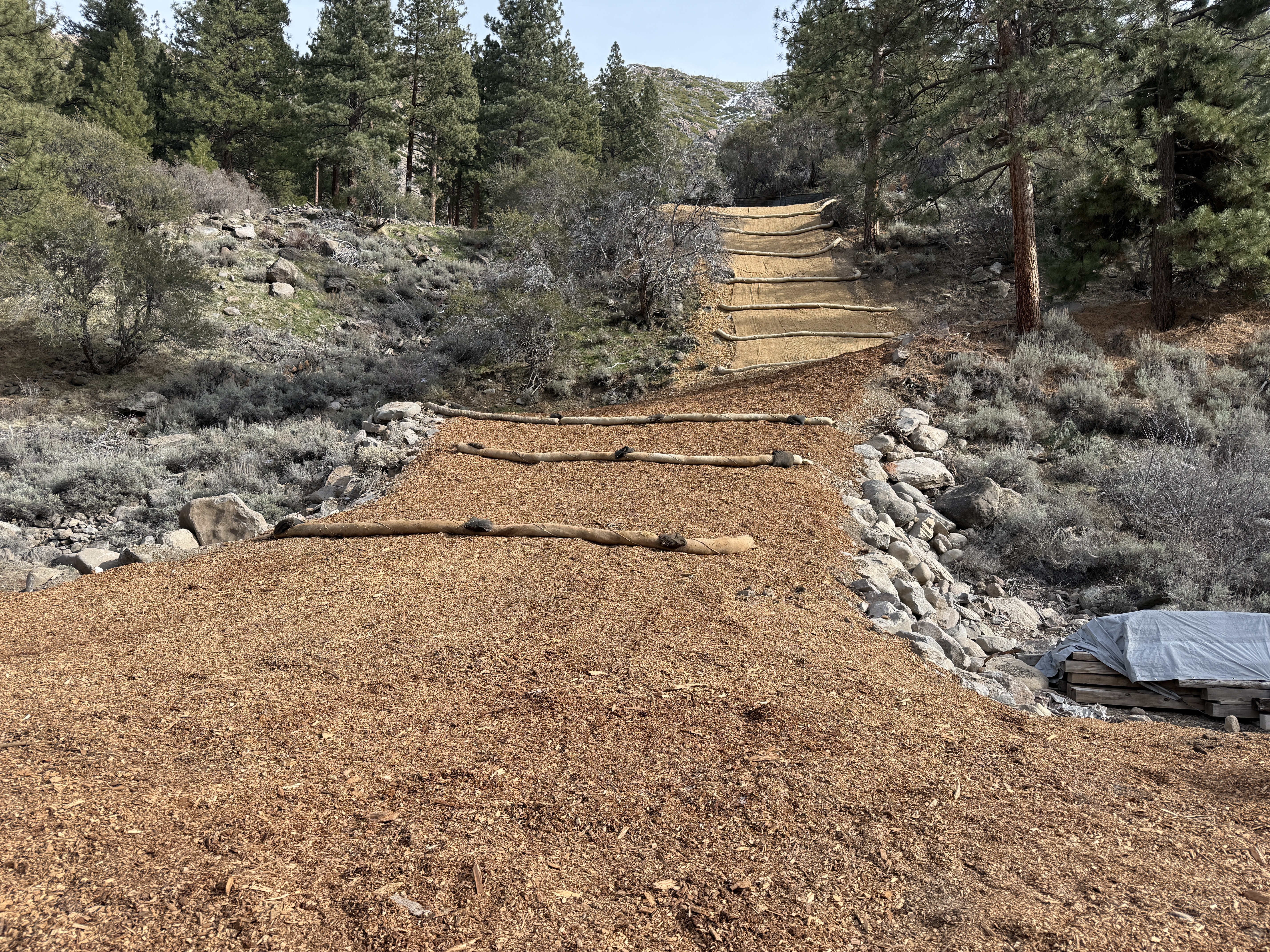
The image shows a sloped terrain with erosion control measures visibly in place. Several erosion control blankets cover the slope, and wattles are positioned across the slope to prevent soil erosion. The area is surrounded by trees and rocky terrain, indicating it is a vegetated slope. The wattles are placed horizontally to control runoff and stabilize the soil.
Equipment & Materials
AI Tags
Analyzed Apr 21, 2026
Nearby Photos
1m
swppp erosion control
1m
site grading
2m
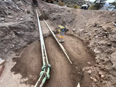
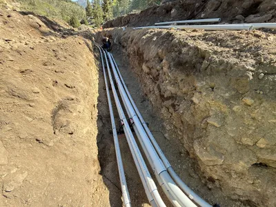
trenching
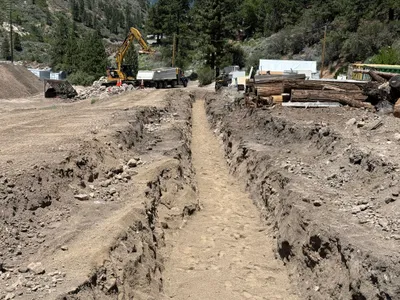
2m
trenching
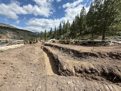
2m
trenching
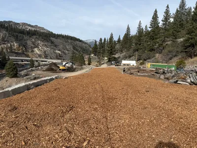
2m
swppp erosion control
3m
swppp erosion control
3m
trenching
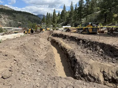
4m
trenching
4m
pipeline installation