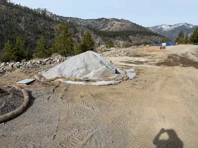
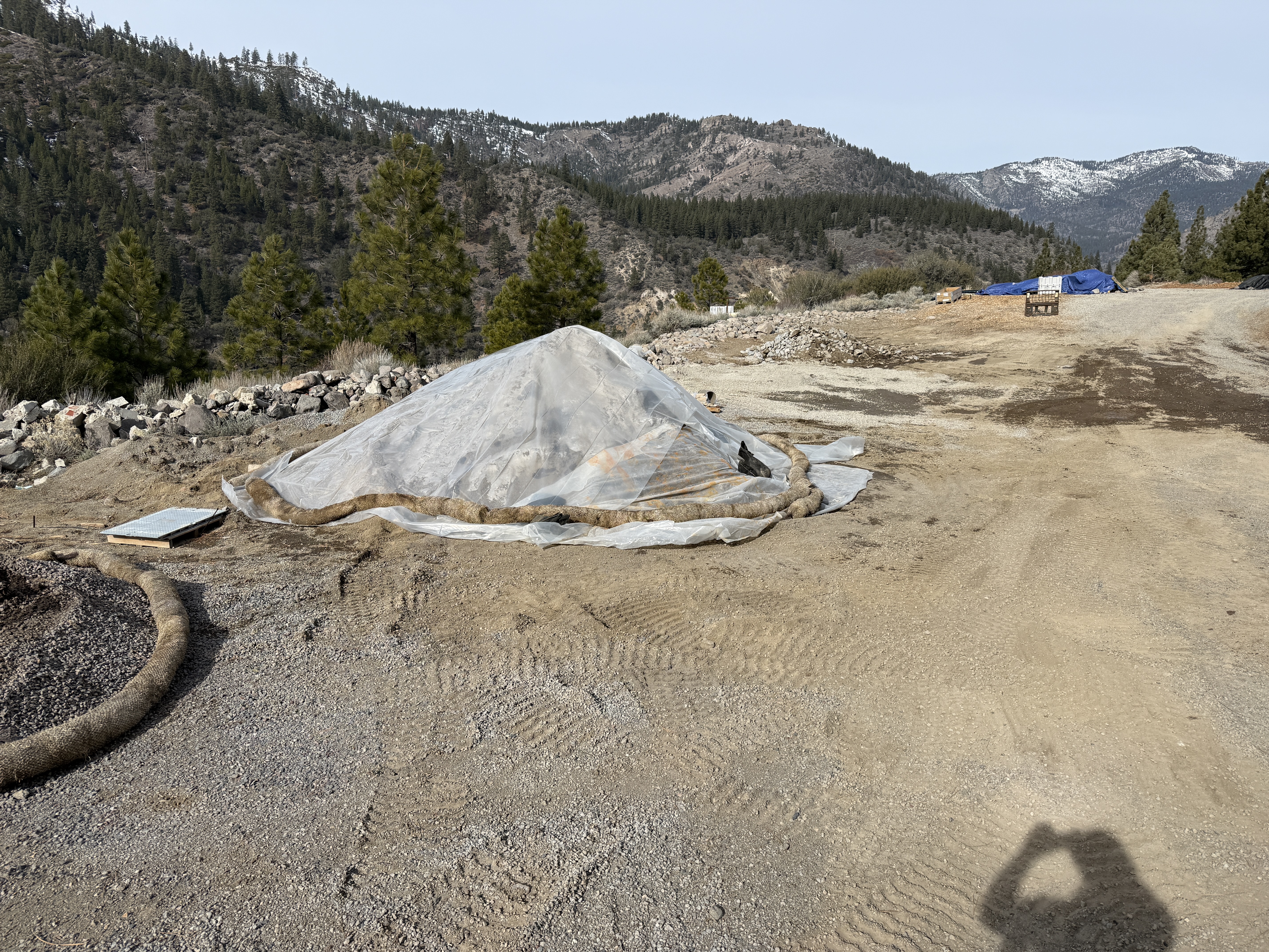
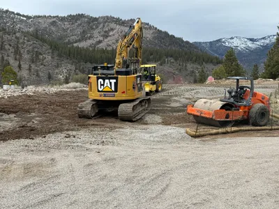
No caption
IMG_2757.JPG
Details
39.39080, -120.02129· 1681m
Location Context
1 / 5
USGS Topo
No elevation data
FEMA Flood
No flood data
OSM Infra
No address data
USDA Soil
No soil data
USGS Hydro
No hydro data
Show all EXIF (43 fields)
AI Analysis
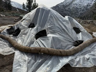
The image shows a mound covered with a tarp, surrounded by erosion control wattles on a construction site in a mountainous area. Gravel and dirt are visible on the ground, suggesting recent site preparation or maintenance. The surrounding landscape features trees and distant hills with some snow. A shadow indicates it's sunny, but there are no visible workers or active machinery.
Equipment & Materials
AI Tags
Analyzed Apr 21, 2026
Nearby Photos
2m
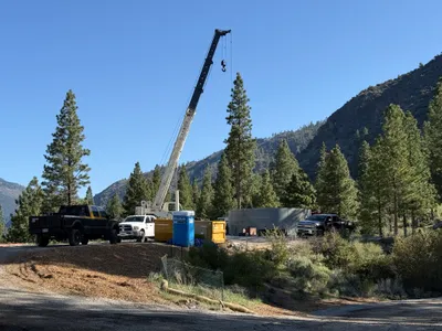
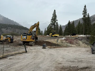
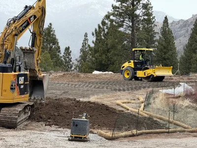
site grading
4m
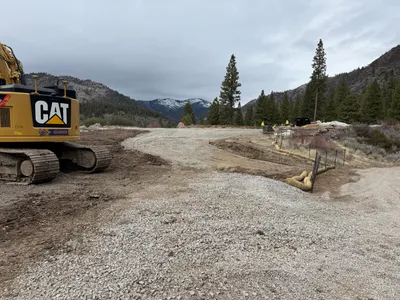
site grading
4m
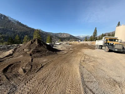
other
6m
site grading
7m
swppp erosion control
7m
swppp erosion control
7m
site grading
7m
site grading
8m
site grading
8m
other