No caption
IMG_7760.JPG
Details
Monday, May 12, 2025 · 3:02 PM
39.39156, -120.02163· 1678m
Location Context
1 / 5
USGS Topo
No elevation data
FEMA Flood
No flood data
OSM Infra
No address data
USDA Soil
No soil data
USGS Hydro
No hydro data
Apple iPhone 16 Pro
iPhone 16 Pro back triple camera 6.765mm f/1.78
6.764999865652793mmf/1.7799999713880651/878sISO 80
Flash did not fire, compulsory flash mode
Show all EXIF (43 fields)
ApertureValue1.6638
BrightnessValue7.3545
ColorSpace65535
CompositeImageGeneral Composite Image
ExifImageHeight4284
ExifVersion2.3.2
ExposureCompensation0
ExposureModeAuto
ExposureProgramNormal program
FlashpixVersion1.0
FocalLengthIn35mmFormat24
GPSDateStamp2025:05:12
GPSDestBearing354.3553
GPSDestBearingRefTrue North
GPSHPositioningError5.2605
GPSImgDirection354.3553
GPSImgDirectionRefT
GPSSpeed0.0574
GPSSpeedRefK
GPSTimeStamp22:2:45
HostComputeriPhone 16 Pro
latitude39.3916
LensInfo2.2200, 15.6600, 1.7800, 2.8000
LensMakeApple
longitude-120.0216
MeteringModePattern
ModifyDate2025-05-12T15:02:47.000Z
OffsetTime-07:00
OffsetTimeDigitized-07:00
OffsetTimeOriginal-07:00
ResolutionUnitinches
SceneCaptureTypeStandard
SceneTypeDirectly photographed
SensingMethodOne-chip color area sensor
ShutterSpeedValue9.7780
Software18.5
SubjectArea{"0":2851,"1":2137,"2":3141,"3":1884}
SubSecTimeDigitized303
SubSecTimeOriginal303
WhiteBalanceAuto
XResolution72
YCbCrPositioning1
YResolution72
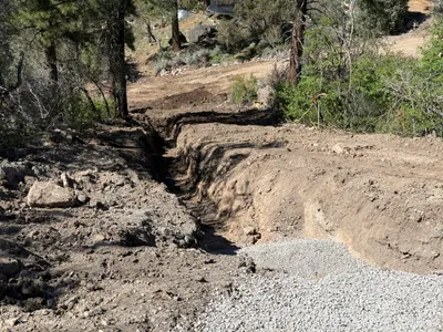
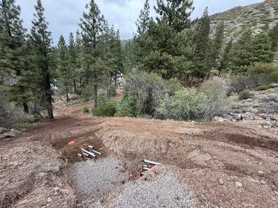
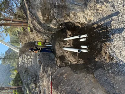
AI Analysis
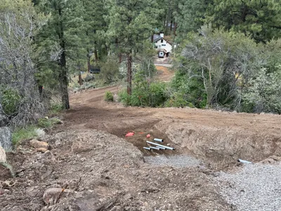
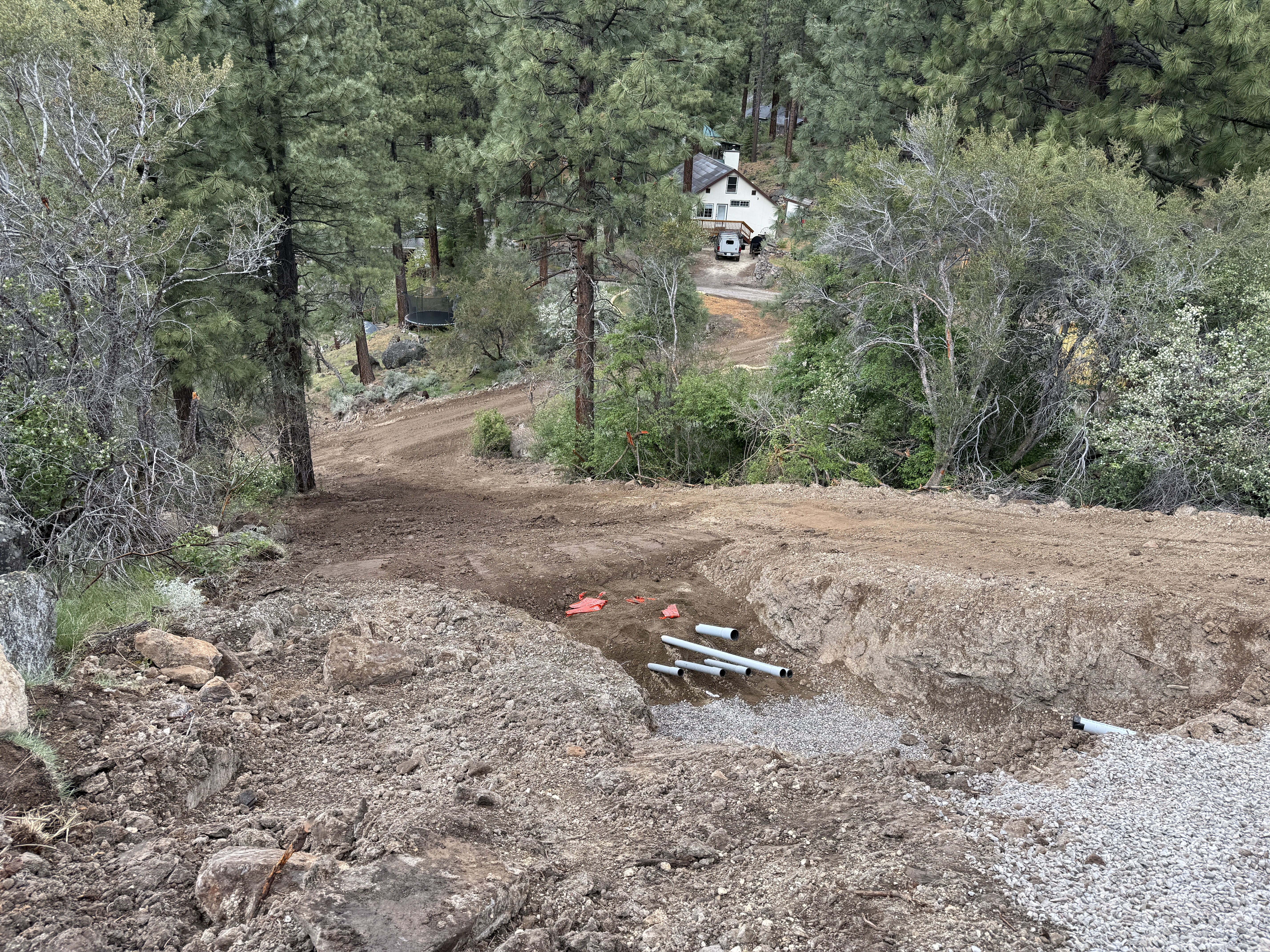
The image shows a dirt slope leading down to a structure, with several pipes laid out near a trench. The area appears to be under construction with exposed soil and visible rocky elements. Various pipes are positioned horizontally and protrude from the soil. A house and additional trees are visible in the background, indicating proximity to developed areas.
pipeline-installation
dirt slope with rocks overcast limited access due to slope and vegetation
No specific safety features are visible in frame.
Analyzed Apr 21, 2026
Nearby Photos
1m
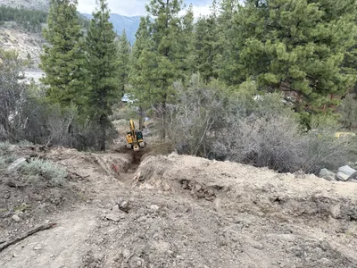
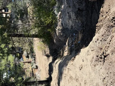
trenching
trenchingexcavation-process
excavator
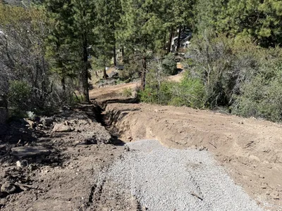
1m
trenching
trenchinggravel
gravel
2m
trenching
trenchingsoil
gravel
2m
trenching
trenchingconduit-installation
gravel
3m
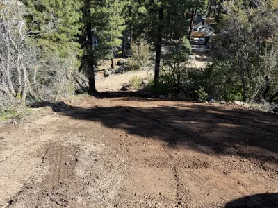
site grading
site-gradingdirt-path
3m
trenching
trenchingpipe-laying
soil
3m
site grading
site-gradingearth-moving
excavator
4m
trenching
trenchingexcavator
excavator
4m
site grading
gradingsite-preparation
dirt
5m
trenching
conduit-installationtrenching
dirt