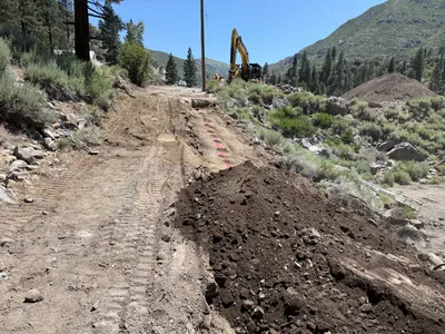
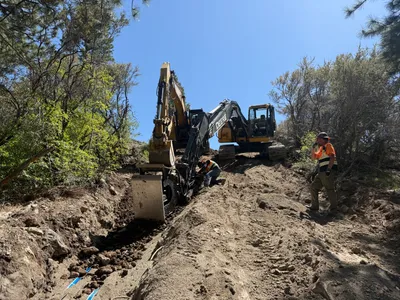
No caption
IMG_8483.JPG
Details
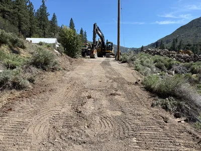
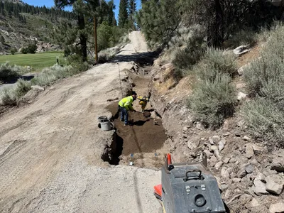
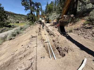
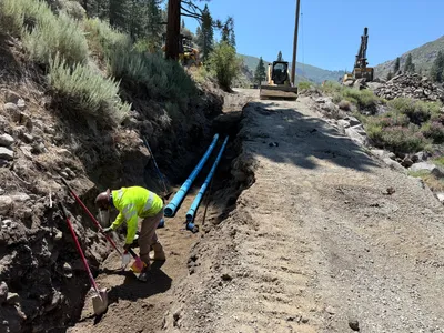
39.39305, -120.02258· 1611m
Location Context
1 / 5
USGS Topo
No elevation data
FEMA Flood
No flood data
OSM Infra
No address data
USDA Soil
No soil data
USGS Hydro
No hydro data
Show all EXIF (43 fields)
AI Analysis
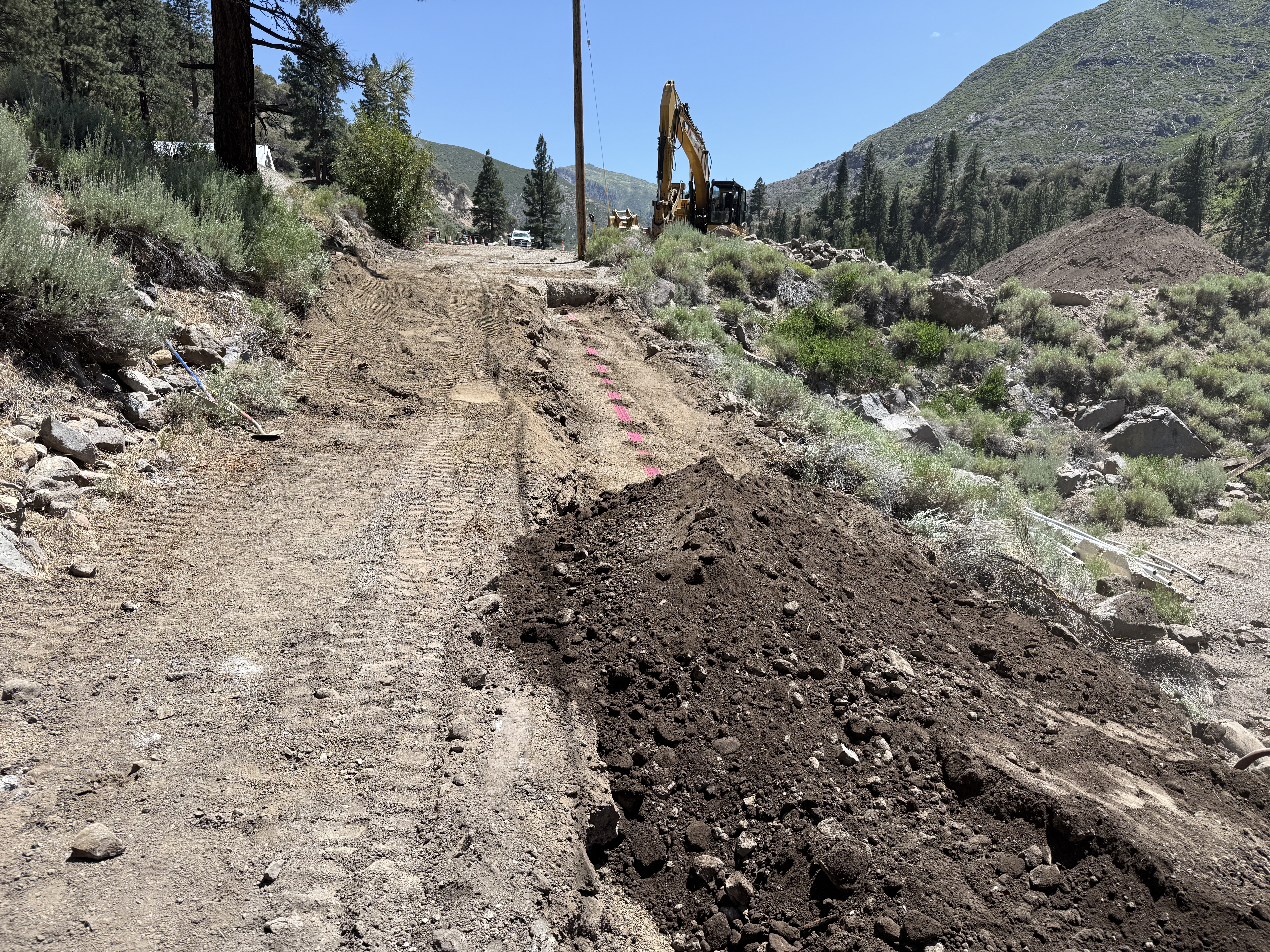
The image shows an excavated area on a dirt pathway with a large excavator positioned in the background. Tire tracks and mounds of earth are visible along the path. There is a shovel resting upright in the ground to the left. The area appears to be in a mountainous region with surrounding vegetation and a clear sky overhead. Some colored markings are visible on the ground near the excavation area.
Equipment & Materials
Analyzed Apr 21, 2026
Nearby Photos
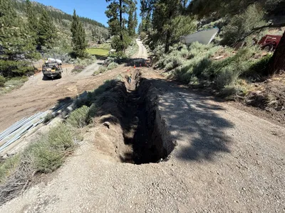
4m
backfill
4m
excavation
4m
site grading
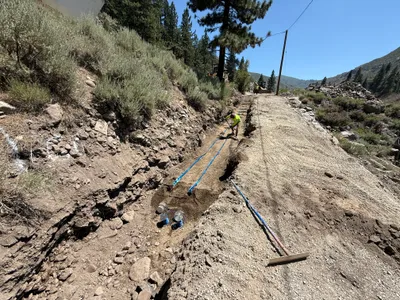
5m
trenching
5m
trenching
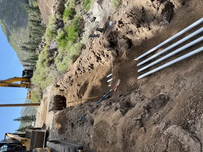
7m
pipeline installation
7m
trenching
8m
trenching
8m
trenching
9m
trenching