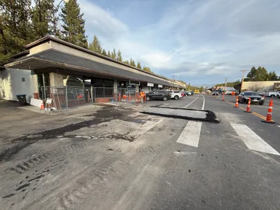
No caption
IMG_1391.JPG
Details
Monday, November 3, 2025 · 3:18 PM
39.32608, -120.20371
Location Context
1 / 5
USGS Topo
No elevation data
FEMA Flood
No flood data
OSM Infra
No address data
USDA Soil
No soil data
USGS Hydro
No hydro data
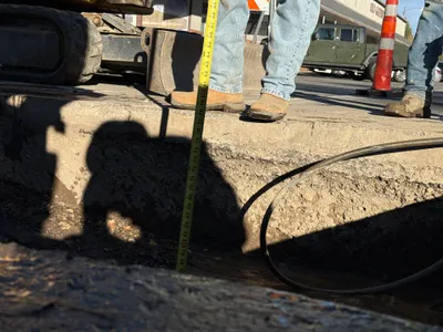
AI Analysis
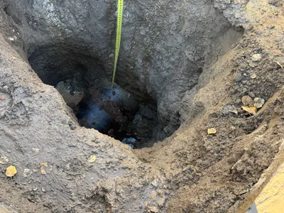
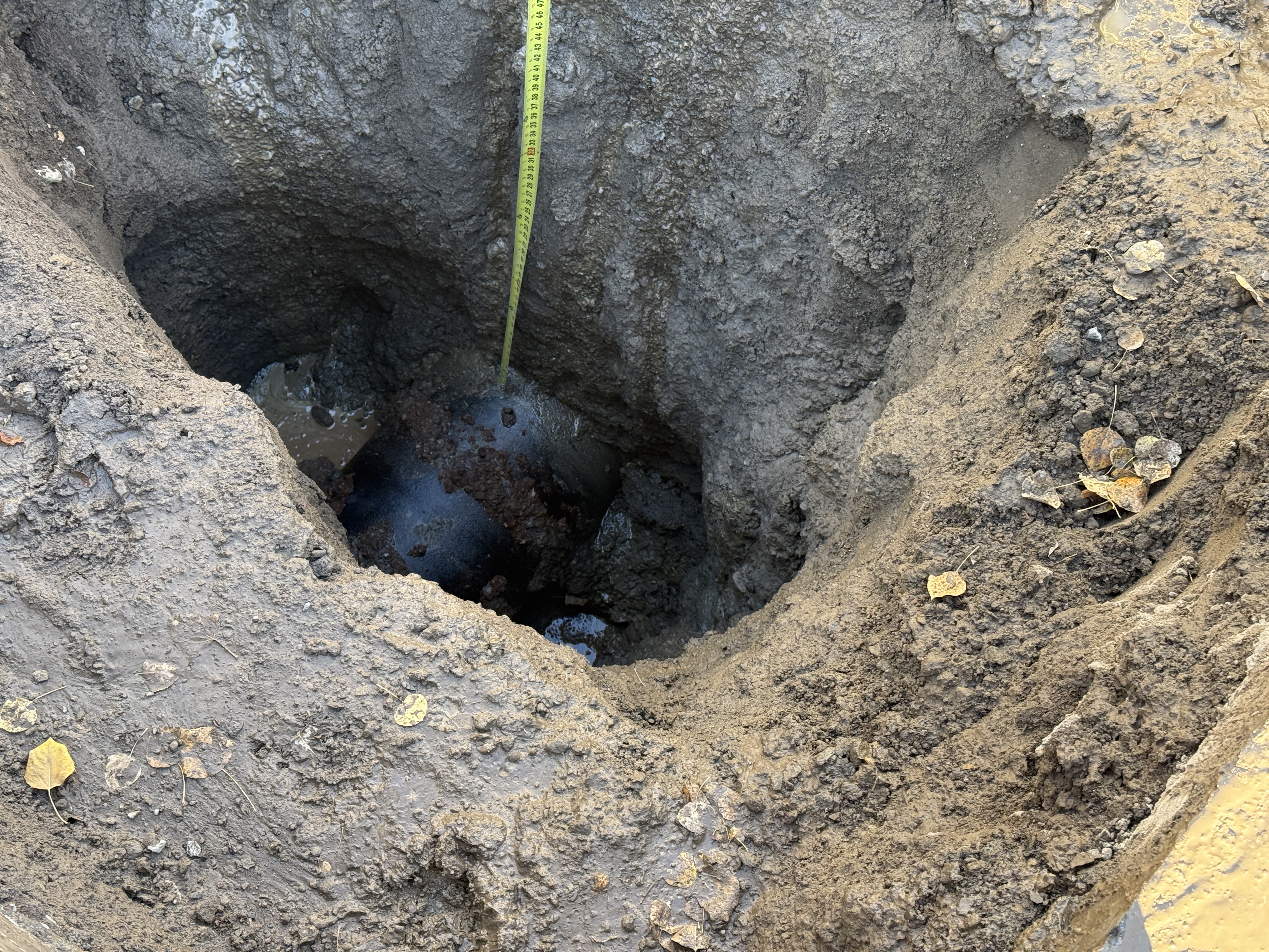
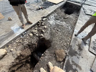
The photo shows a partially excavated trench with visible soil surrounding a pipeline component. A measuring tape is used to assess the depth or distance of the trench. The construction stage appears to be in the early phase of pipeline installation, with soil disruption and no backfill yet applied.
excavation
Early construction phase with disturbed soil conditions and overcast natural lighting, no backfill or final-stage work visible.
No safety equipment visible in frame.
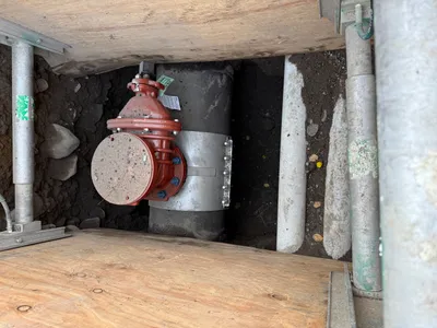
Equipment & Materials
AI Tags
Analyzed Mar 11, 2026
Nearby Photos
2m
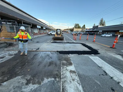
surface restoration
surface-restorationasphalt-paving
compact track loader
4m
excavation
trench-excavationunderground-utility
mechanical roller or winch
5m
surface restoration
surface-restorationasphalt-patching
traffic cones
6m
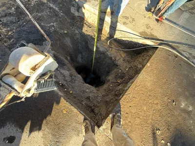
excavation
trench-excavationutility-installation
tape measure
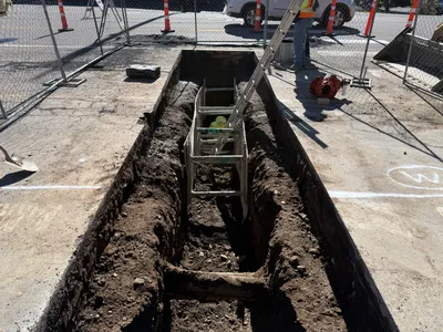
6m
excavation
trench-excavationsoil-pile
metal ladder
7m
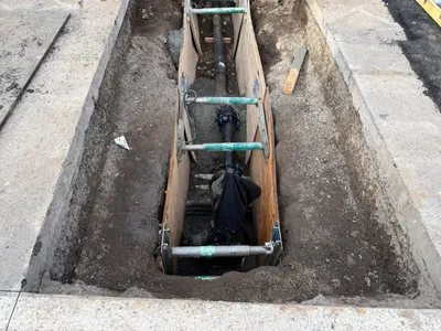
pipeline installation
trench-excavationpipeline-installation
ductile iron pipe
7m
excavation
trench-excavationsoil
construction boots
7m
pipeline installation
trench-excavationpipeline-installation
temporary timber shoring
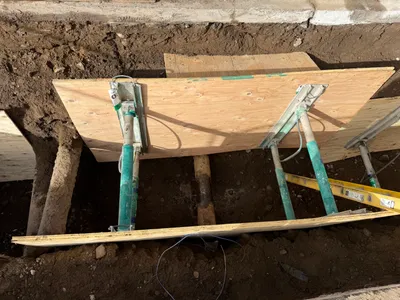
7m
excavation
trench-excavationshoring
plywood shoring panels
8m
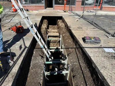
excavation
trench-excavationconcrete-removal
extension ladder