
No caption
IMG_1822.JPG
Details
39.32617, -120.20251
Location Context
1 / 5
USGS Topo
No elevation data
FEMA Flood
No flood data
OSM Infra
No address data
USDA Soil
No soil data
USGS Hydro
No hydro data
AI Analysis
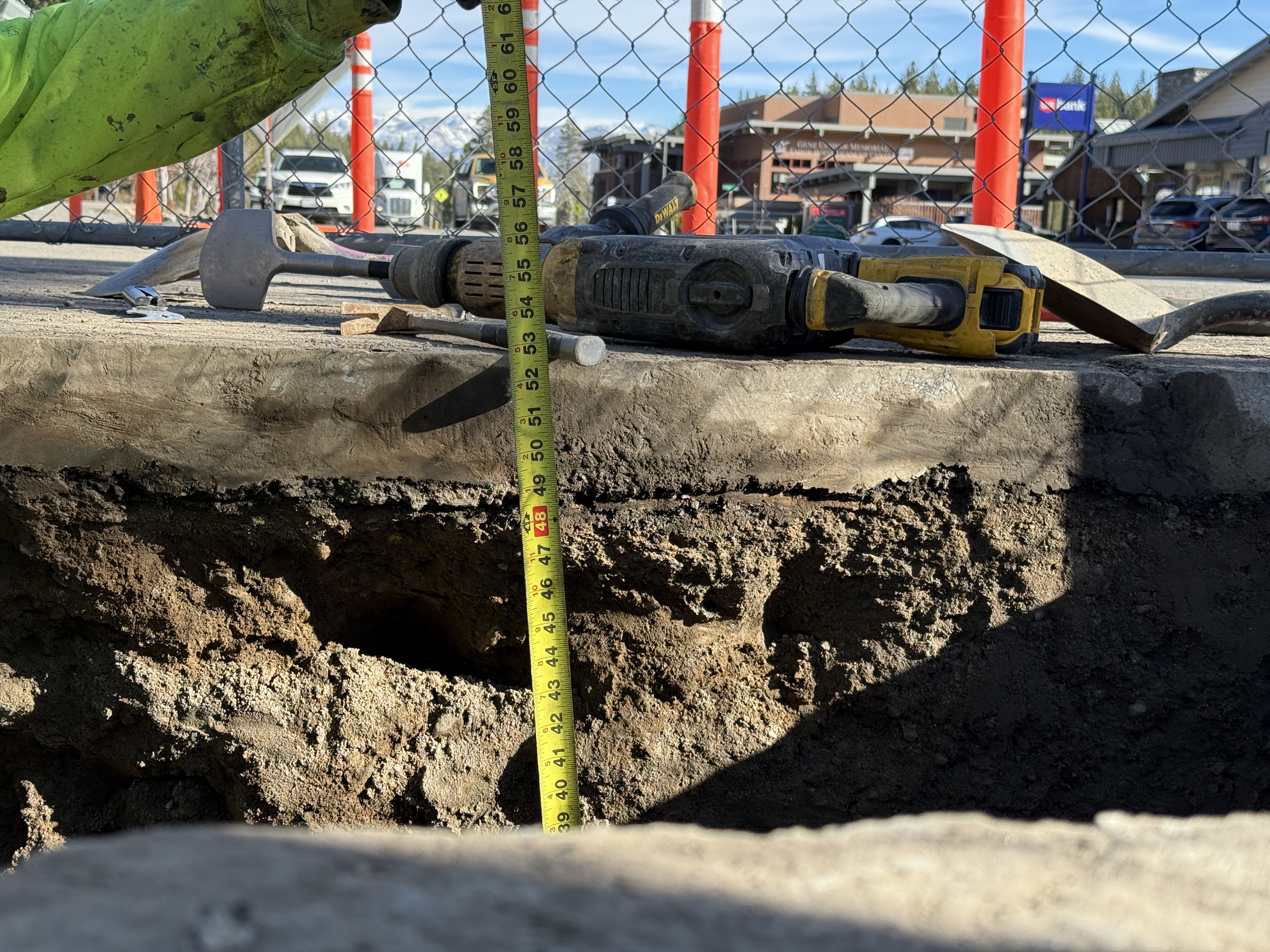
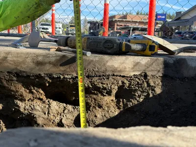
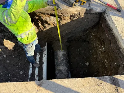
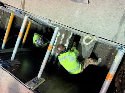
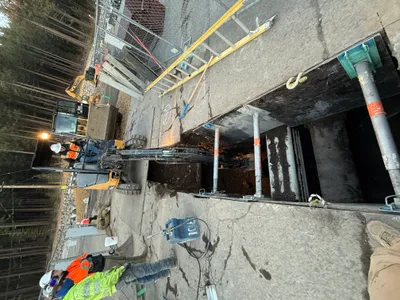
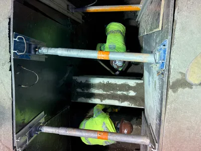
The photo shows an excavation site for underground utility work, where a depth measurement is being taken using a tape measure. A drill and hammer are located on the concrete surface, suggesting ongoing or recent drilling activities. The trench has exposed soil with varied textures indicating recent digging, possibly for installing or inspecting pipelines.
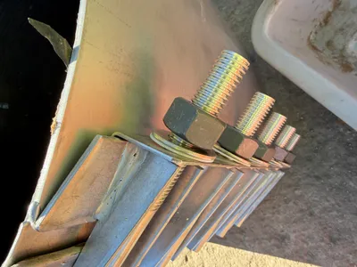
Equipment & Materials
AI Tags
Analyzed Mar 11, 2026
Nearby Photos
0m
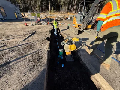
excavation
1m
backfill
1m
tank construction
1m
pipeline installation
1m
pipeline installation
1m
pipeline installation
1m
pipeline installation
1m
pipeline installation
2m
excavation
2m
pipeline installation