No caption
IMG_0056.JPG
Details
Tuesday, September 9, 2025 · 1:08 PM
39.39462, -120.02203· 1643m
Location Context
1 / 5
USGS Topo
No elevation data
FEMA Flood
No flood data
OSM Infra
No address data
USDA Soil
No soil data
USGS Hydro
No hydro data
Apple iPhone 16 Pro
iPhone 16 Pro back triple camera 15.66mm f/2.8
15.659999847383mmf/2.81/891sISO 64
Flash did not fire, compulsory flash mode
Show all EXIF (44 fields)
ApertureValue2.9709
BrightnessValue8.6336
ColorSpace65535
CompositeImageGeneral Composite Image
DigitalZoomRatio1.0013
ExifImageHeight3024
ExifVersion2.3.2
ExposureCompensation0
ExposureModeAuto
ExposureProgramNormal program
FlashpixVersion1.0
FocalLengthIn35mmFormat120
GPSDateStamp2025:09:09
GPSDestBearing265.5216
GPSDestBearingRefTrue North
GPSHPositioningError15.2969
GPSImgDirection265.5216
GPSImgDirectionRefT
GPSSpeed0.6515
GPSSpeedRefK
GPSTimeStamp20:8:40
HostComputeriPhone 16 Pro
latitude39.3946
LensInfo2.2200, 15.6600, 1.7800, 2.8000
LensMakeApple
longitude-120.0220
MeteringModePattern
ModifyDate2025-09-09T13:08:41.000Z
OffsetTime-07:00
OffsetTimeDigitized-07:00
OffsetTimeOriginal-07:00
ResolutionUnitinches
SceneCaptureTypeStandard
SceneTypeDirectly photographed
SensingMethodOne-chip color area sensor
ShutterSpeedValue9.7997
Software18.6.2
SubjectArea{"0":1963,"1":1494,"2":2207,"3":1335}
SubSecTimeDigitized686
SubSecTimeOriginal686
WhiteBalanceAuto
XResolution72
YCbCrPositioning1
YResolution72
AI Analysis
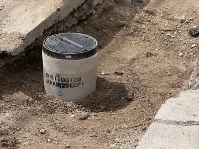
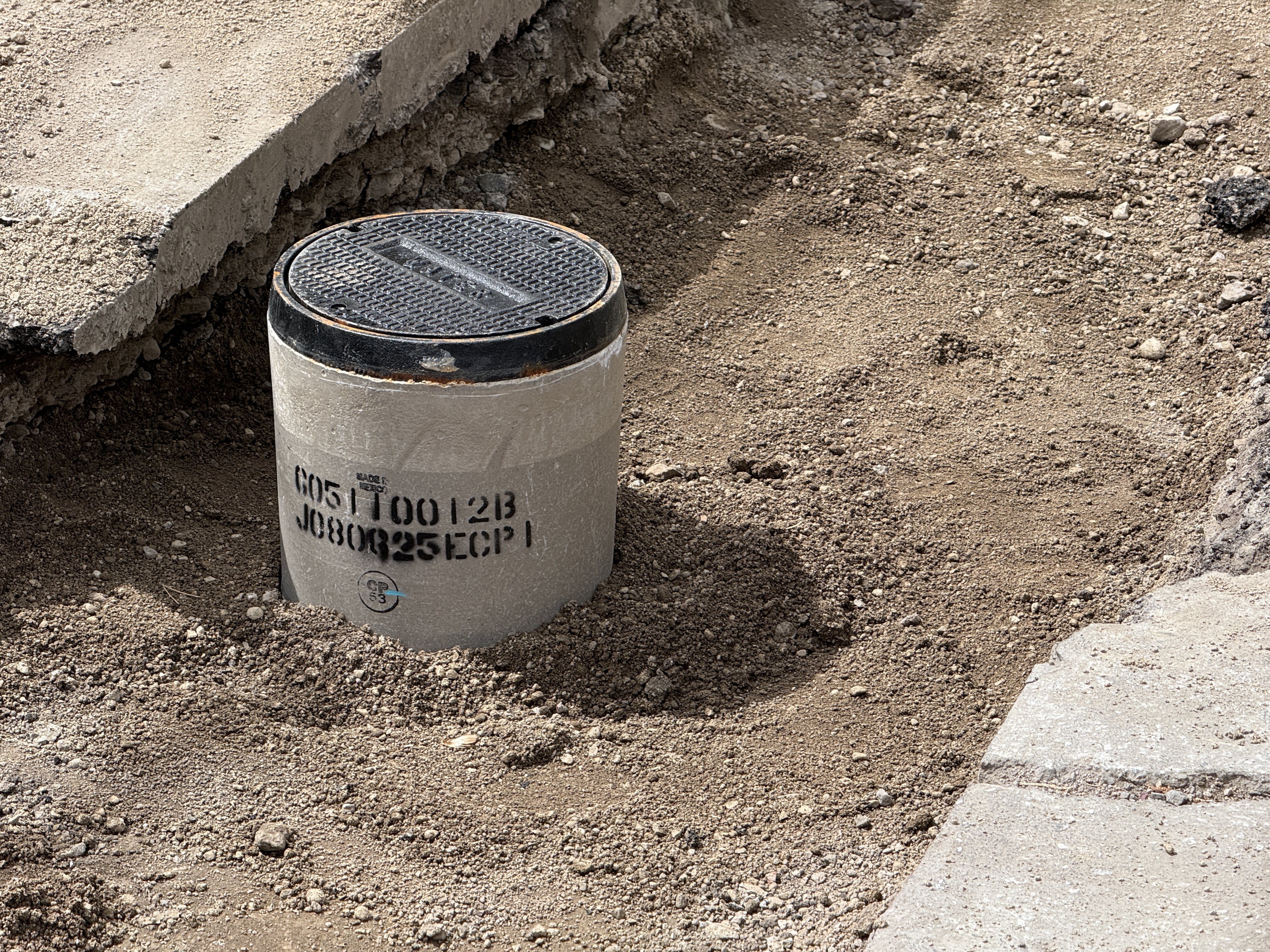
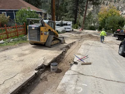
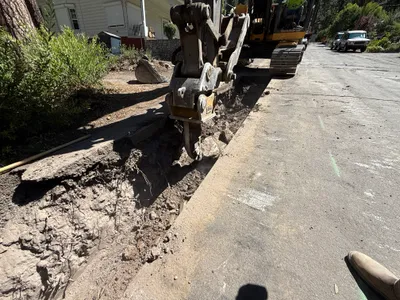
The image shows a concrete utility access structure with a circular metal cover, partially embedded in the ground. There is exposed soil around it and broken pavement partially visible to the side. The utility structure appears to be newly installed or under inspection.
site-grading
exposed soil and broken pavement well-lit open area with no visible access restrictions
No specific safety features are visible in frame.
Equipment & Materials
Analyzed Apr 21, 2026
Nearby Photos
1m
pipeline installation
backfillingpipe-installation
dump-truck
2m
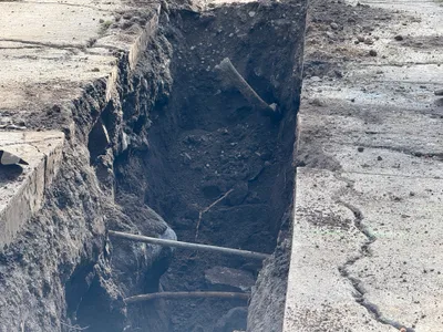
pipeline installation
trenchingpipeline-installation
excavator
2m
excavation
excavationasphalt-removal
skid steer loader
2m
trenching
trenchingtrench
pipes
2m
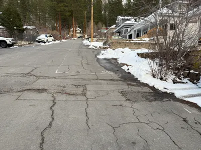
paving surface restoration
pavement-inspectionroad-surface
parked cars
2m
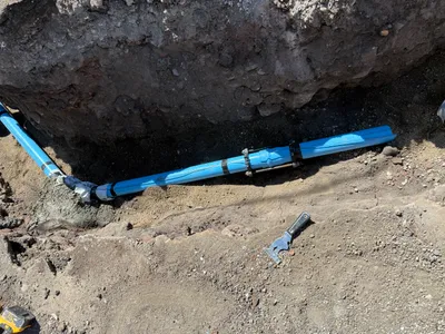
pipeline installation
pipeline-installationtrenching
hand-tool
3m
trenching
trenchingexcavation-work
excavator
3m
trenching
trenchingcompaction
compactor
3m
trenching
trenchingpipe-installation
skid-steer-loader
4m
site grading
gradingsoil-moving
skid steer loader