No caption
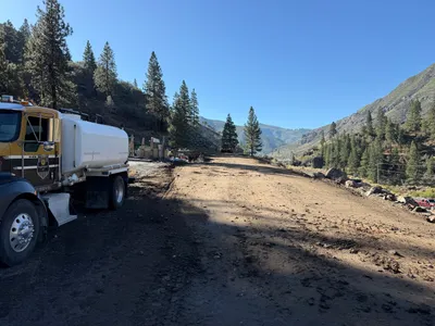
IMG_0241.JPG
Details
Wednesday, September 17, 2025 · 1:12 PM
39.39272, -120.02264· 1646m
Location Context
1 / 5
USGS Topo
No elevation data
FEMA Flood
No flood data
OSM Infra
No address data
USDA Soil
No soil data
USGS Hydro
No hydro data
Apple iPhone 16 Pro
iPhone 16 Pro back triple camera 2.22mm f/2.2
2.220000028611935mmf/2.21/1698sISO 50
Flash did not fire, compulsory flash mode
Show all EXIF (43 fields)
ApertureValue2.2750
BrightnessValue9.9769
ColorSpace65535
CompositeImageGeneral Composite Image
ExifImageHeight3024
ExifVersion2.3.2
ExposureCompensation0
ExposureModeAuto
ExposureProgramNormal program
FlashpixVersion1.0
FocalLengthIn35mmFormat14
GPSDateStamp2025:09:17
GPSDestBearing184.0043
GPSDestBearingRefTrue North
GPSHPositioningError89.6505
GPSImgDirection184.0043
GPSImgDirectionRefT
GPSSpeed0
GPSSpeedRefK
GPSTimeStamp20:12:20
HostComputeriPhone 16 Pro
latitude39.3927
LensInfo2.2200, 15.6600, 1.7800, 2.8000
LensMakeApple
longitude-120.0226
MeteringModePattern
ModifyDate2025-09-17T13:12:23.000Z
OffsetTime-07:00
OffsetTimeDigitized-07:00
OffsetTimeOriginal-07:00
ResolutionUnitinches
SceneCaptureTypeStandard
SceneTypeDirectly photographed
SensingMethodOne-chip color area sensor
ShutterSpeedValue10.7294
Software26.0
SubjectArea{"0":1999,"1":1510,"2":2205,"3":1321}
SubSecTimeDigitized089
SubSecTimeOriginal089
WhiteBalanceAuto
XResolution72
YCbCrPositioning1
YResolution72
AI Analysis
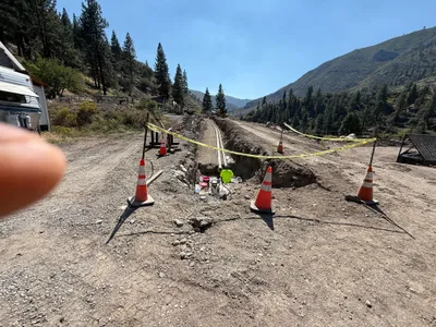
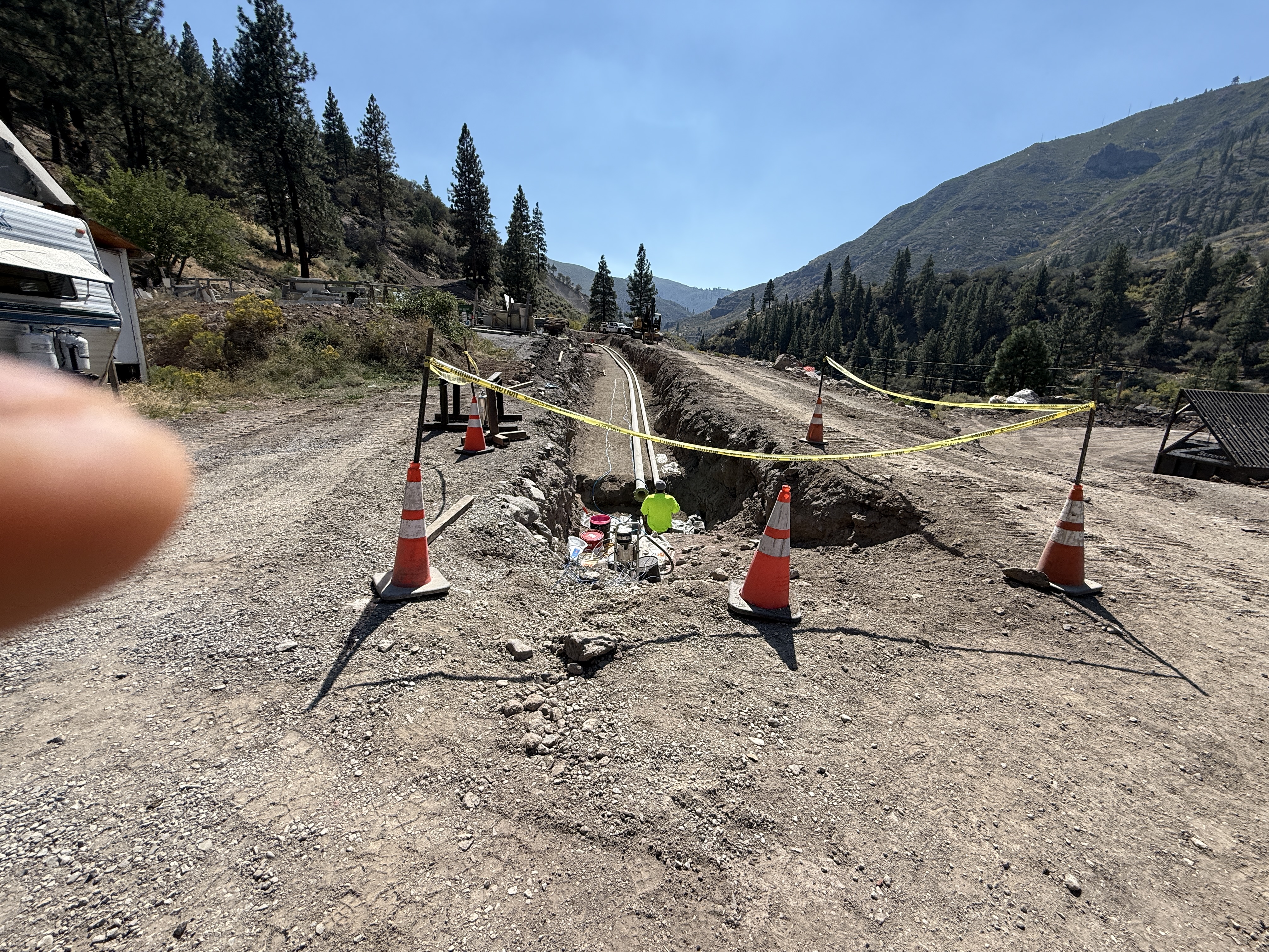
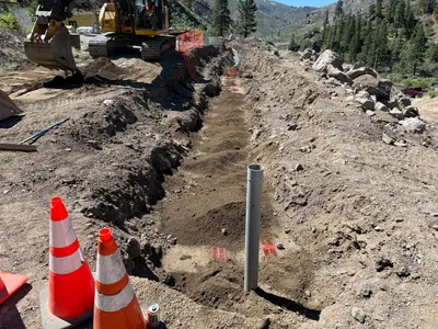
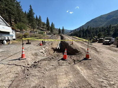
The image shows an open trench in a dirt area running alongside a gravel path. The trench contains visible piping, and is bordered by orange traffic cones and caution tape for safety. There are hills and trees in the background, indicating a rural location. A visible finger partially obstructs the left edge of the image.
trenching
dirt and gravel clear weather with daylight open access along gravel path
Caution tape and traffic cones are used to control access to the open trench area.
Equipment & Materials
Analyzed Apr 21, 2026
Nearby Photos
trenching
trenchingsafety-measures
pipes
1m
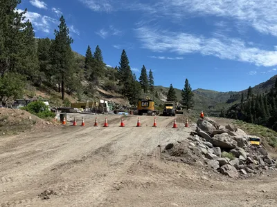
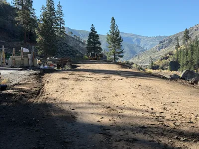
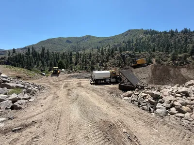
site grading
soil-relocationmaterial-handling
loader
2m
site grading
gradingequipment-staging
excavator
2m
site grading
site-gradingbulldozer
bulldozer
2m
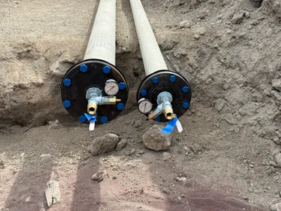
pressure testing
pressure-testingpipe-capping
pipes
2m
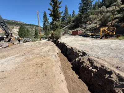
trenching
trenchingexcavation-work
excavator
2m
site grading
site-gradingtanker-truck
tanker-truck
2m
site grading
gradingearthmoving
excavator
2m
trenching
trenchingsite-access
bulldozer
2m
trenching
trenchingtrench
excavator