No caption
IMG_0729.JPG
Details
Monday, October 6, 2025 · 8:47 AM
39.39213, -120.02260· 1614m
Location Context
1 / 5
USGS Topo
No elevation data
FEMA Flood
No flood data
OSM Infra
No address data
USDA Soil
No soil data
USGS Hydro
No hydro data
Apple iPhone 16 Pro
iPhone 16 Pro back triple camera 15.66mm f/2.8
15.659999847383mmf/2.81/99sISO 100
Flash did not fire, compulsory flash mode
Show all EXIF (44 fields)
ApertureValue2.9709
BrightnessValue4.8198
ColorSpace65535
CompositeImageGeneral Composite Image
DigitalZoomRatio1.0013
ExifImageHeight3024
ExifVersion2.3.2
ExposureCompensation0
ExposureModeAuto
ExposureProgramNormal program
FlashpixVersion1.0
FocalLengthIn35mmFormat120
GPSDateStamp2025:10:06
GPSDestBearing90.5064
GPSDestBearingRefTrue North
GPSHPositioningError82.0467
GPSImgDirection90.5064
GPSImgDirectionRefT
GPSSpeed0
GPSSpeedRefK
GPSTimeStamp15:47:39
HostComputeriPhone 16 Pro
latitude39.3921
LensInfo2.2200, 15.6600, 1.7800, 2.8000
LensMakeApple
longitude-120.0226
MeteringModePattern
ModifyDate2025-10-06T08:47:40.000Z
OffsetTime-07:00
OffsetTimeDigitized-07:00
OffsetTimeOriginal-07:00
ResolutionUnitinches
SceneCaptureTypeStandard
SceneTypeDirectly photographed
SensingMethodOne-chip color area sensor
ShutterSpeedValue6.6312
Software26.0.1
SubjectArea{"0":2000,"1":1507,"2":2221,"3":1329}
SubSecTimeDigitized713
SubSecTimeOriginal713
WhiteBalanceAuto
XResolution72
YCbCrPositioning1
YResolution72
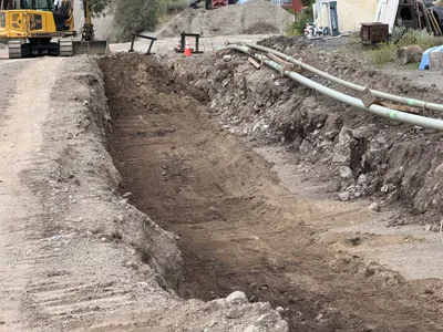
AI Analysis
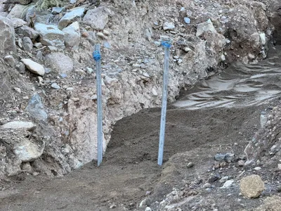
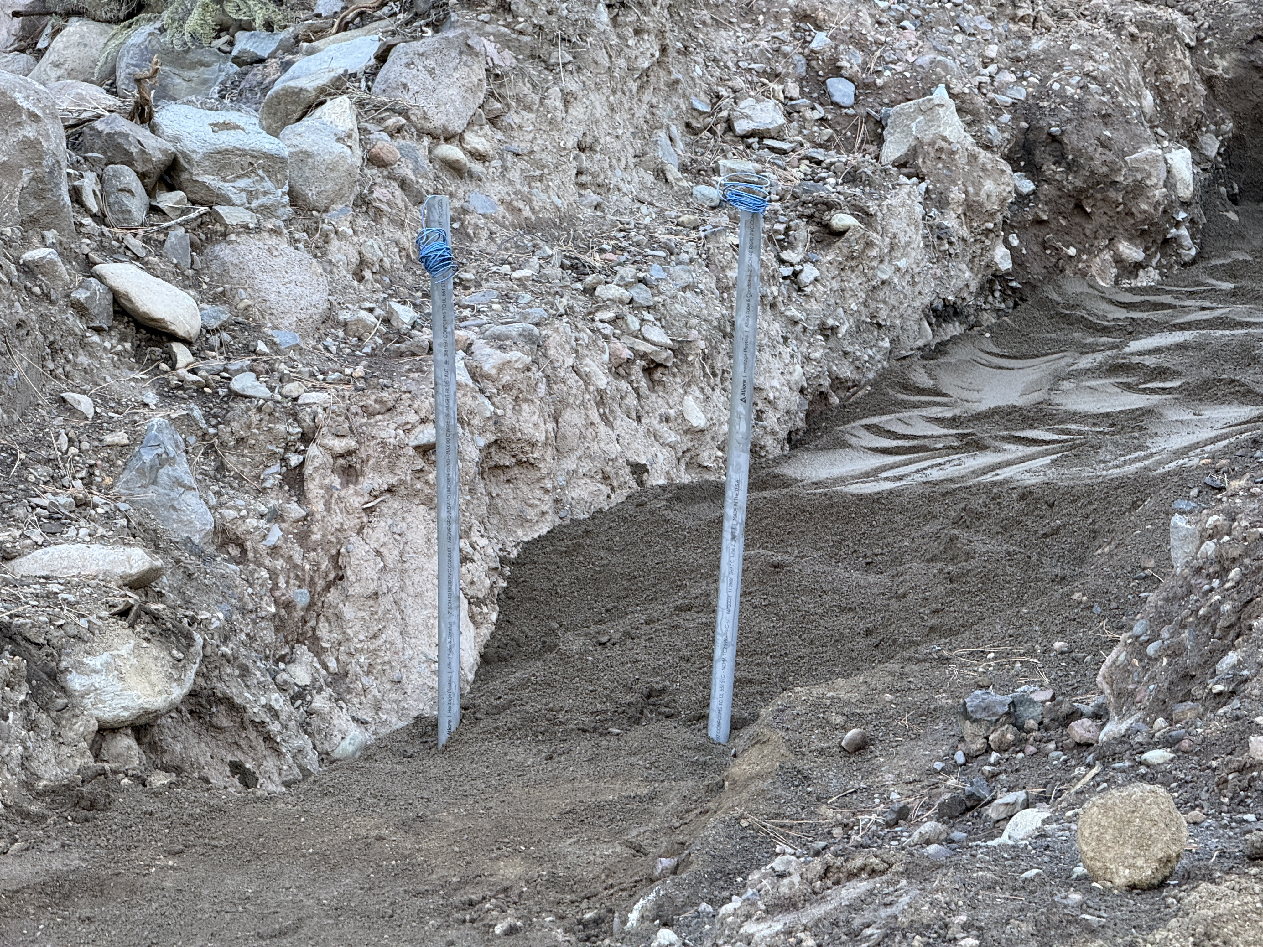
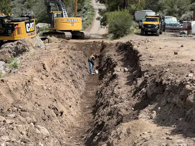
The image shows an open trench with two metallic stakes or rods protruding from the ground, likely for measurement or marking. The surrounding area consists of rocky and uneven soil. There is disturbed earth and a layer of gravel at the bottom of the trench. The scene does not show any active equipment or personnel.
trenching
rocky and gravelly soil daylight conditions no visible congestion or staging
No safety features are visible in frame; open trench presents a potential hazard.
Equipment & Materials
Analyzed Apr 21, 2026
Nearby Photos
1m
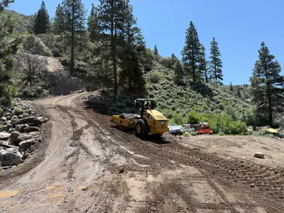
site grading
site-gradingcleanup-activity
excavator
1m
site grading
earthworkssite-preparation
loader
1m
other
site-clean-uptruck
truck
2m
trenching
trenchingexcavation
excavator
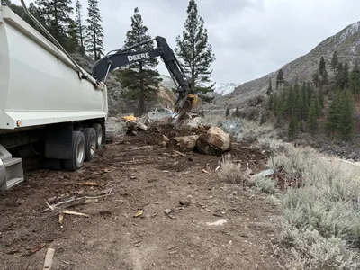
3m
trenching
trenchinghand-excavation
excavator
4m
trenching
trenchingexcavation-work
excavator
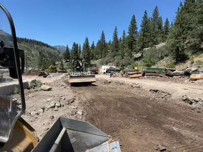
4m
site grading
compactingsite-grading
road roller
4m
trenching
trenchingexcavation
excavator
4m
site grading
debris-removalland-clearing
excavator
4m
site grading
site-gradingroad-roller-operation
road roller