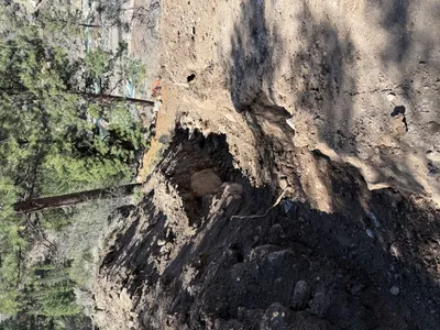
No caption
IMG_7269.JPG
Details
Friday, April 18, 2025 · 2:11 PM
39.39192, -120.02188· 1657m
Location Context
1 / 5
USGS Topo
No elevation data
FEMA Flood
No flood data
OSM Infra
No address data
USDA Soil
No soil data
USGS Hydro
No hydro data
Apple iPhone 16 Pro
iPhone 16 Pro back triple camera 6.765mm f/1.78
6.764999865652793mmf/1.7799999713880651/2169sISO 80
Flash did not fire, compulsory flash mode
Show all EXIF (43 fields)
ApertureValue1.6638
BrightnessValue8.7374
ColorSpace65535
CompositeImageGeneral Composite Image
ExifImageHeight4284
ExifVersion2.3.2
ExposureCompensation0
ExposureModeAuto
ExposureProgramNormal program
FlashpixVersion1.0
FocalLengthIn35mmFormat24
GPSDateStamp2025:04:18
GPSDestBearing268.7148
GPSDestBearingRefTrue North
GPSHPositioningError4.4998
GPSImgDirection268.7148
GPSImgDirectionRefT
GPSSpeed1.2738
GPSSpeedRefK
GPSTimeStamp21:11:51
HostComputeriPhone 16 Pro
latitude39.3919
LensInfo2.2200, 15.6600, 1.7800, 2.8000
LensMakeApple
longitude-120.0219
MeteringModePattern
ModifyDate2025-04-18T14:11:51.000Z
OffsetTime-07:00
OffsetTimeDigitized-07:00
OffsetTimeOriginal-07:00
ResolutionUnitinches
SceneCaptureTypeStandard
SceneTypeDirectly photographed
SensingMethodOne-chip color area sensor
ShutterSpeedValue11.0829
Software18.5
SubjectArea{"0":2851,"1":2137,"2":3141,"3":1884}
SubSecTimeDigitized934
SubSecTimeOriginal934
WhiteBalanceAuto
XResolution72
YCbCrPositioning1
YResolution72
AI Analysis
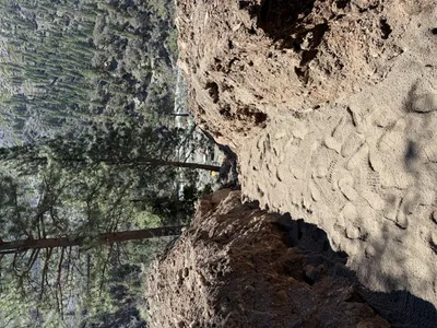
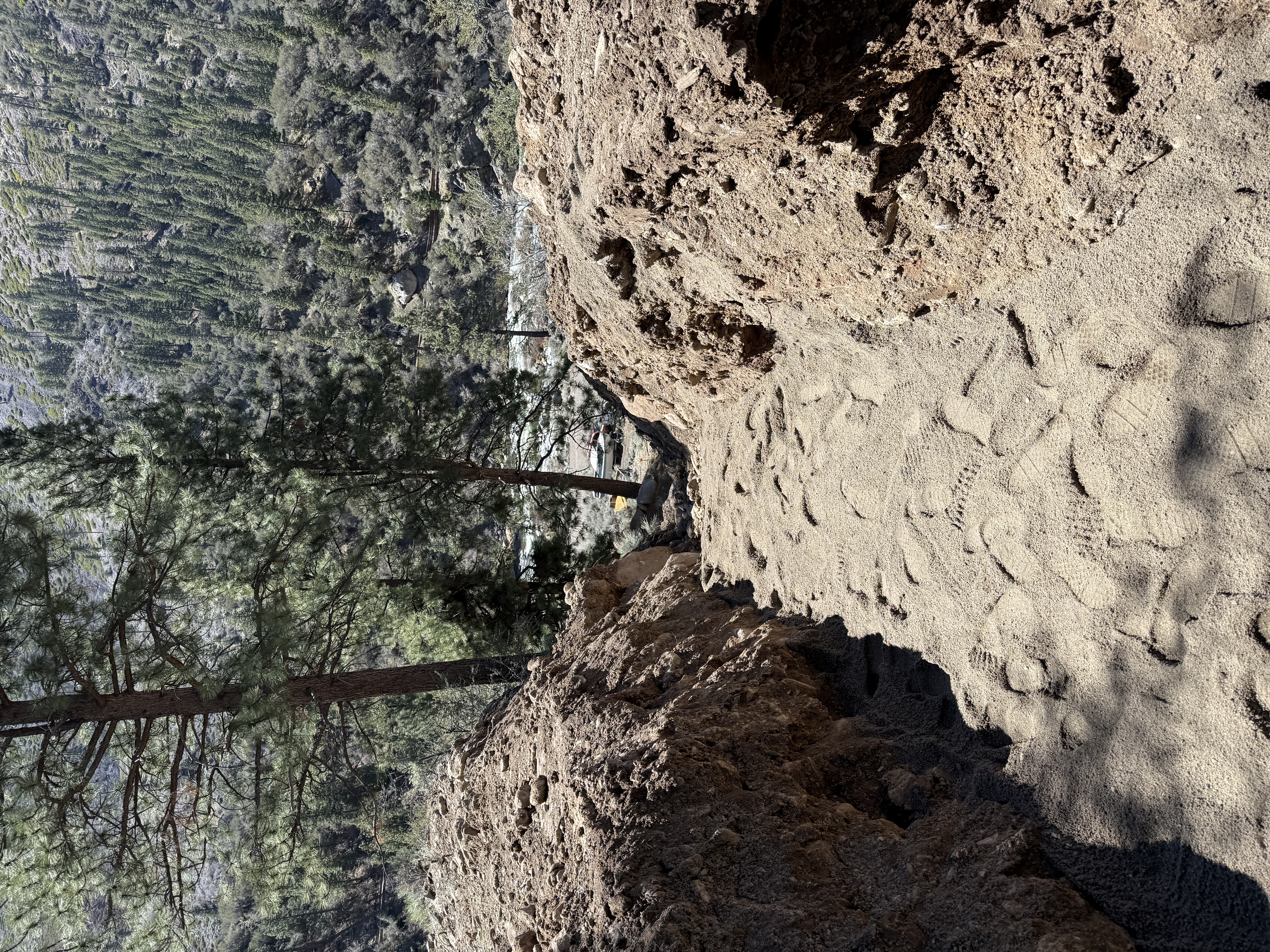
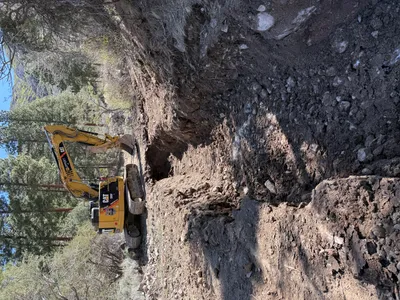
The image captures a sandy trail or pathway, bordered by natural rock formations. Footprints are visible along the path, indicating frequent use. The terrain is surrounded by pine trees, suggesting a forested area. There are no visible signs of construction equipment or materials.
other
loose soil with vegetation around sunny day with natural light open access path through natural setting
Safety features are not visible in frame.
Analyzed Apr 21, 2026
Nearby Photos
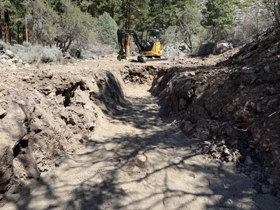
2m
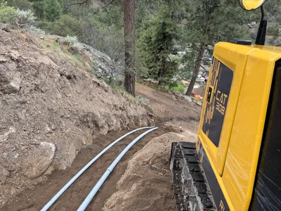
trenching
trenchingearthwork
excavators
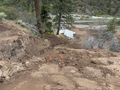
3m
excavation
excavationearth-moving
excavator
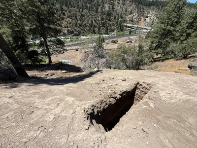
3m
trenching
trenchingtrench
3m
trenching
trenchingexcavator
excavator
3m
excavation
excavationsite-preparation
soil
3m
excavation
excavationearth-moving
construction-materials
3m
trenching
trenchingexcavation-activity
excavator
3m
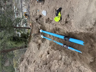
pipeline installation
pipeline-installationtrenching
yellow construction equipment
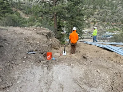
3m
pipeline installation
duct-bank-installationpipe-staging
shovel
3m
trenching
trenchingconduit-installation
excavator