
No caption
IMG_7037.JPG
Details
39.39471, -120.02105· 1655m
Location Context
1 / 5
USGS Topo
No elevation data
FEMA Flood
No flood data
OSM Infra
No address data
USDA Soil
No soil data
USGS Hydro
No hydro data
Show all EXIF (43 fields)
AI Analysis
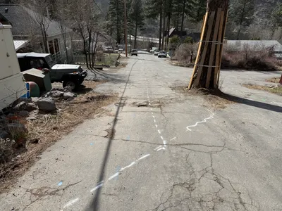
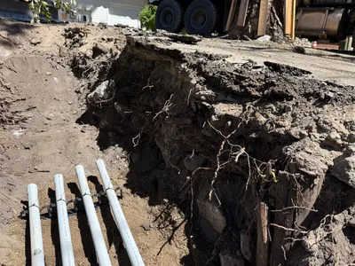
The image displays a section of Juniper Street with white dashed lines marking an alignment, possibly for a waterline. A tree with wooden boards strapped around it is in the foreground, while various residential or utility vehicles are parked alongside the road. The pavement shows signs of wear and faint construction markings are visible, suggesting preparation for upcoming pipeline work.
Equipment & Materials
Analyzed Apr 21, 2026
Nearby Photos

1m
other
1m
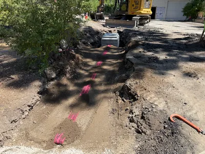
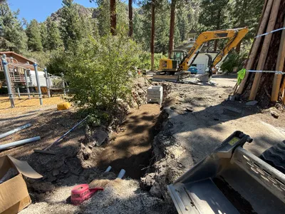
trenching
1m
trenching
1m
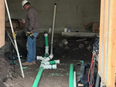
pipeline installation
1m
excavation
1m
trenching
1m
trenching
2m
pipeline installation
2m
trenching
2m
excavation