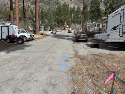
No caption
IMG_7029.JPG
Details
39.39464, -120.02256· 1645m
Location Context
1 / 5
USGS Topo
No elevation data
FEMA Flood
No flood data
OSM Infra
No address data
USDA Soil
No soil data
USGS Hydro
No hydro data
Show all EXIF (43 fields)
AI Analysis
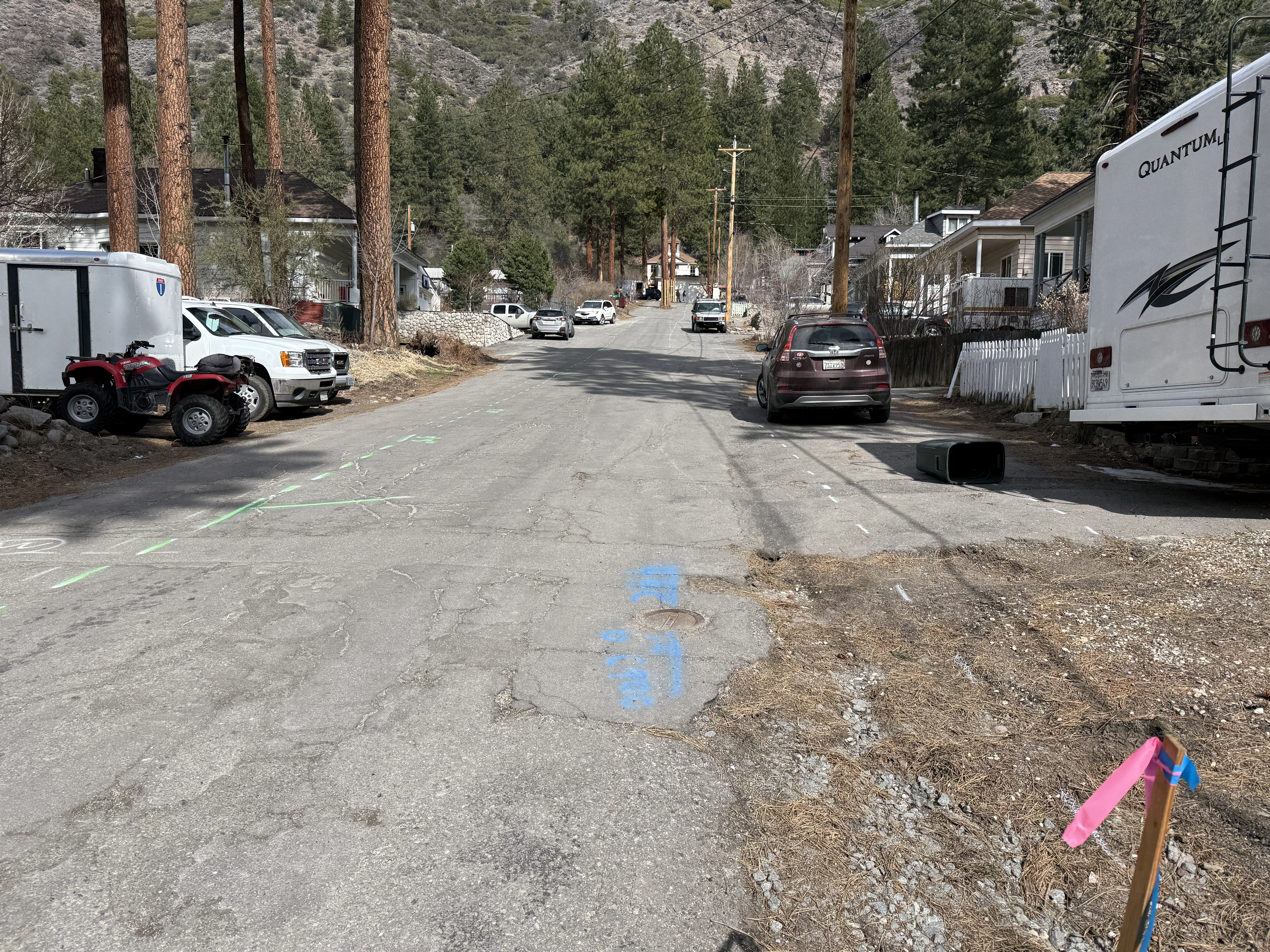
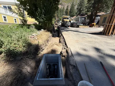
The image displays a street view along Juniper Street with parked vehicles including an ATV, a truck, a sedan, and an RV on the right side. A fallen garbage can is also visible near the curb. There are colored markings on the pavement, possibly indicating underground utilities or future work. Pine trees line the area, and residential buildings are visible in the background.
Analyzed Apr 21, 2026
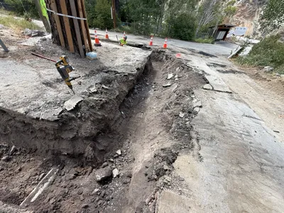
Nearby Photos
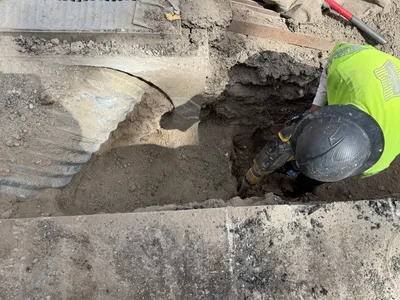
1m
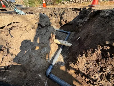
trenching
1m
trenching
2m
trenching
2m
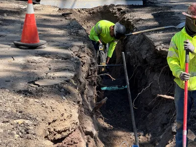
excavation
3m
excavation
3m
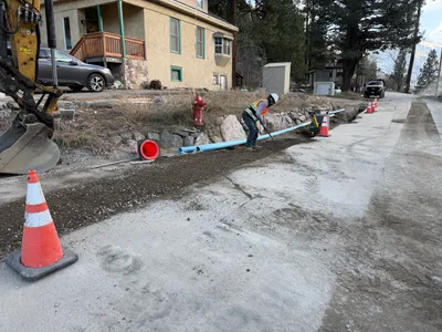
pipeline installation
3m
pipeline installation
4m
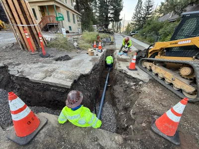
pipeline installation
4m
trenching
4m
pipeline installation