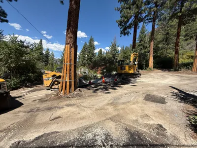
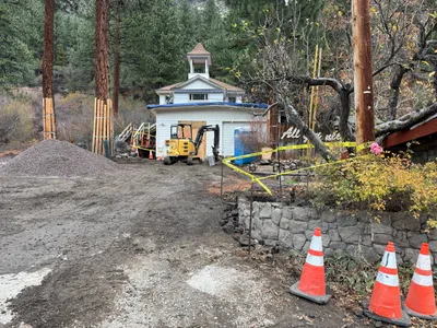
No caption
IMG_6728.JPG
Details
39.39467, -120.02100· 1655m
Location Context
1 / 5
USGS Topo
No elevation data
FEMA Flood
No flood data
OSM Infra
No address data
USDA Soil
No soil data
USGS Hydro
No hydro data
Show all EXIF (43 fields)
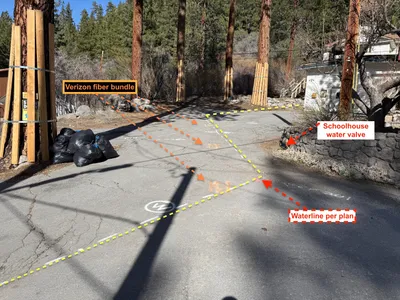
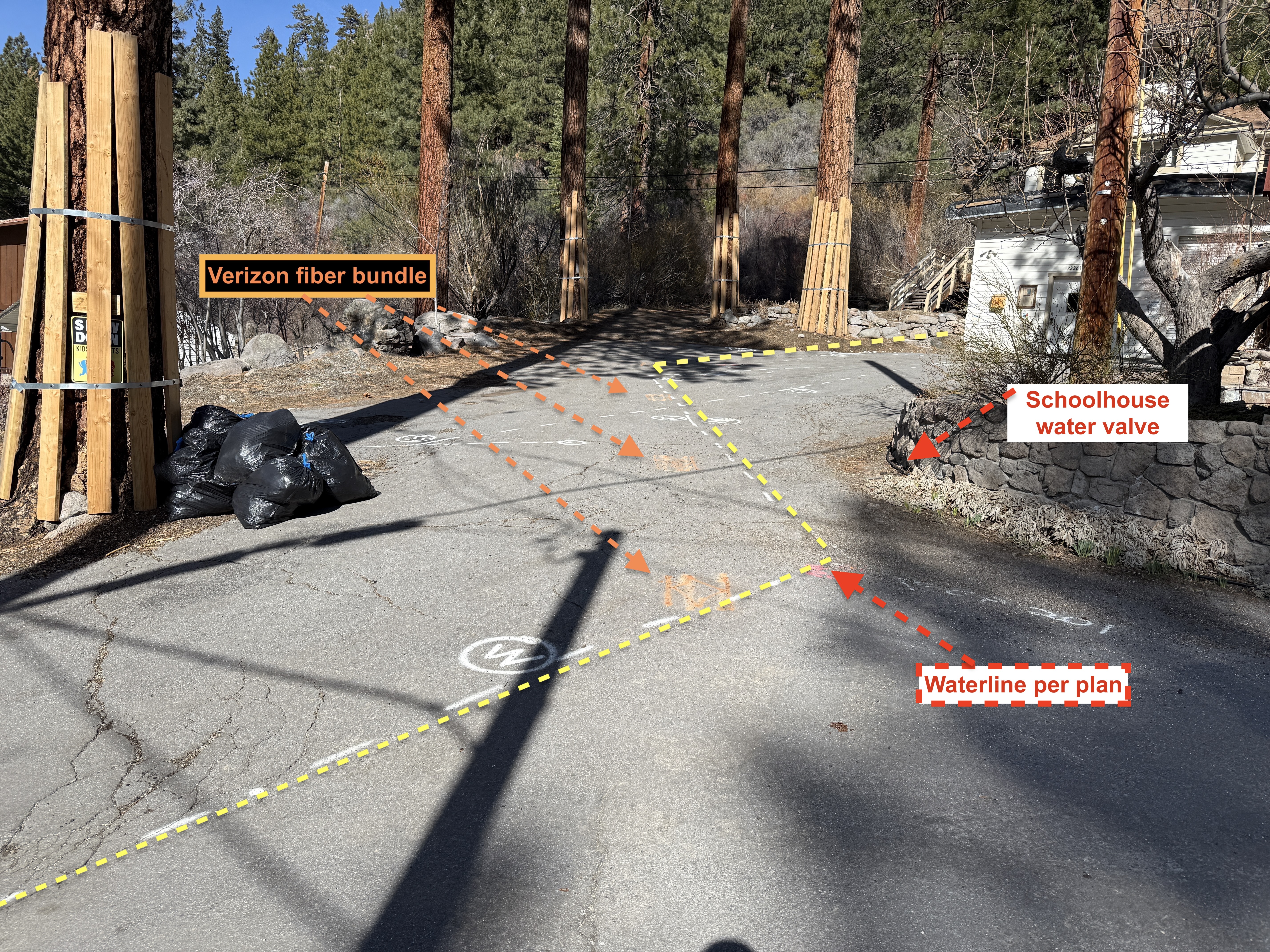
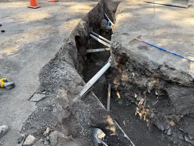
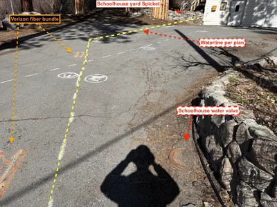
AI Analysis
The image shows a paved roadway with utility markings indicating the alignment of a waterline and a fiber bundle. Orange and yellow dashed lines are marked on the surface, guiding the alignments. A labeled schoolhouse water valve is placed beside a stone wall, and a Verizon fiber bundle is marked at the roadside. Trash bags are placed near a protected tree on the left side.
Equipment & Materials
AI Tags
Analyzed Apr 21, 2026
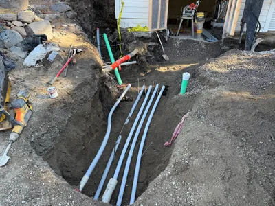
Nearby Photos
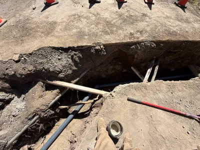
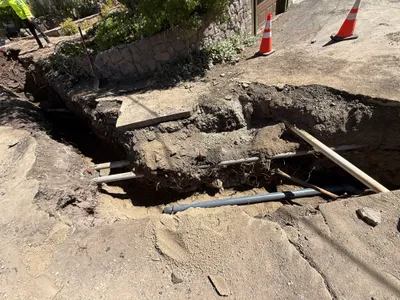
trenching
1m
trenching
1m
excavation
1m
trenching
2m
trenching
2m
trenching
2m
site grading
2m
trenching
2m
survey layout
2m
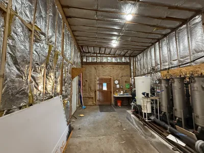
mechanical installation