
No caption
IMG_6347.jpg
Details
Wednesday, February 26, 2025 · 1:14 PM
39.39469, -120.02156· 138m
Location Context
1 / 5
USGS Topo
No elevation data
FEMA Flood
No flood data
OSM Infra
No address data
USDA Soil
No soil data
USGS Hydro
No hydro data
Apple iPhone 16 Pro
iPhone 16 Pro back triple camera 6.765mm f/1.78
6.764999865652793mmf/1.7799999713880651/476sISO 80
Flash did not fire, compulsory flash mode
Show all EXIF (42 fields)
ApertureValue1.6638
BrightnessValue6.7246
ColorSpace65535
CompositeImageGeneral Composite Image
ExifImageHeight4284
ExifVersion2.3.2
ExposureCompensation0
ExposureModeAuto
ExposureProgramNormal program
FocalLengthIn35mmFormat24
GPSDateStamp2025:02:26
GPSDestBearing178.9194
GPSDestBearingRefTrue North
GPSHPositioningError39.5452
GPSImgDirection178.9194
GPSImgDirectionRefT
GPSSpeed0
GPSSpeedRefK
GPSTimeStamp21:14:32
HostComputeriPhone 16 Pro
latitude39.3947
LensInfo2.2200, 15.6600, 1.7800, 2.8000
LensMakeApple
longitude-120.0216
MeteringModePattern
ModifyDate2025-02-26T13:14:34.000Z
OffsetTime-08:00
OffsetTimeDigitized-08:00
OffsetTimeOriginal-08:00
ResolutionUnitinches
SceneTypeDirectly photographed
SensingMethodOne-chip color area sensor
ShutterSpeedValue8.8933
Software18.4
SubjectArea{"0":2851,"1":2137,"2":3141,"3":1884}
SubSecTimeDigitized236
SubSecTimeOriginal236
TileLength896
TileWidth640
WhiteBalanceAuto
XResolution72
YResolution72
AI Analysis
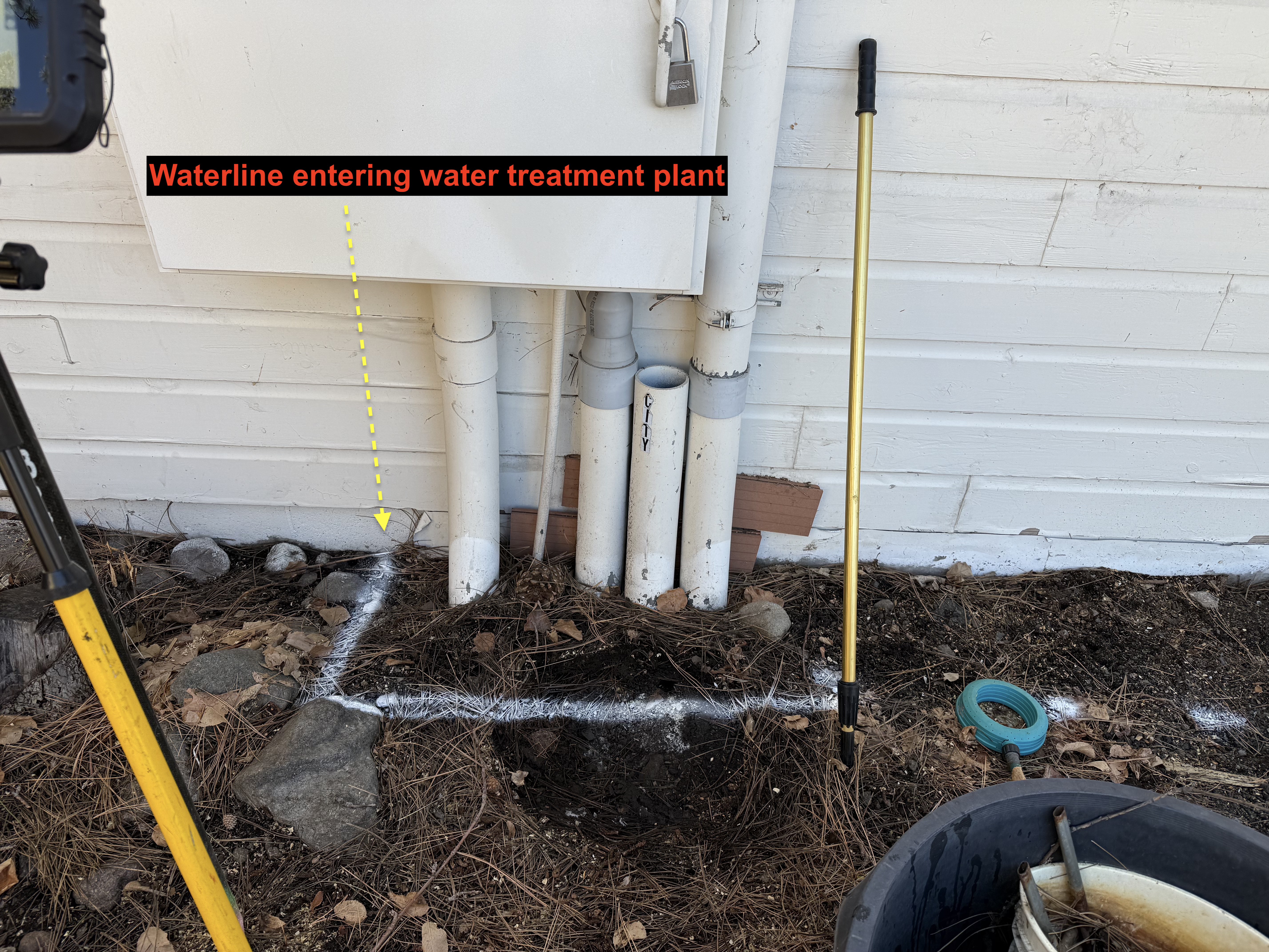
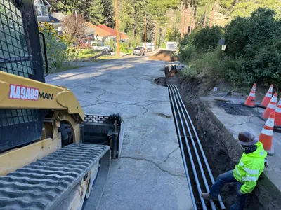
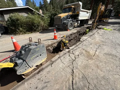
The image shows a set of pipes against a wall, with one labeled as a waterline entering a water treatment plant. White marking lines are drawn on the ground surface, possibly indicating the alignment of underground utilities. A padlock is visible on a lockbox attached to the wall. Loose rocks and leaves are scattered on the ground, suggesting a natural soil surface.
survey-layout
natural soil with rocks and leaves well-lit, likely daytime clear access with minimal congestion
No PPE or safety controls are visible within the frame.
AI Tags
Analyzed Apr 21, 2026
Nearby Photos
1m
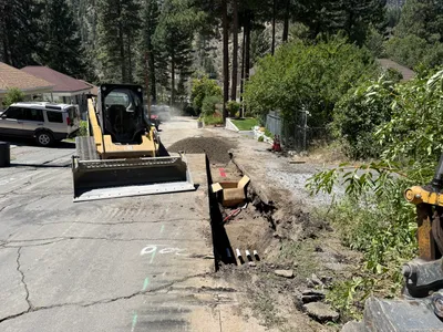
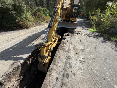
trenching
trenchingduct-bank-installation
excavator
2m
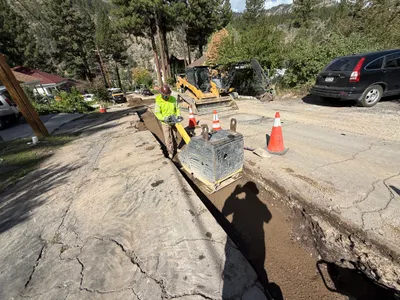
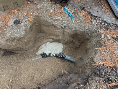
trenching
trenchingutility-work
excavator
3m
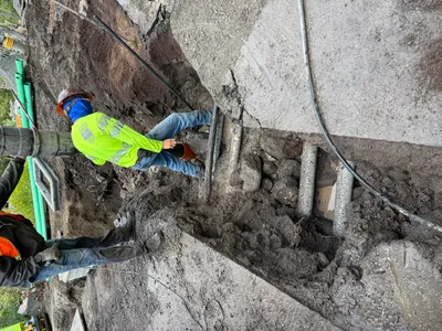
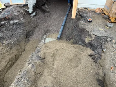
trenching
trenching-activitypipe-handling
hand-tool
3m
trenching
trenchingconduit-installation
crawler loader
3m
trenching
trenchingexcavation
excavator
3m
trenching
trenchingexcavation
soil
3m
trenching
trenchingpipe-laying
sand
4m
trenching
trenchingexcavation-work
excavator
4m
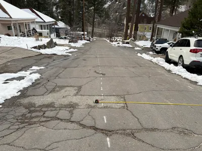
survey layout
surveyroad-layout
parked-cars
4m
trenching
trenchingpipeline-installation
excavator