
No caption
IMG_6341.jpg
Details
39.39464, -120.02244· 1639m
Location Context
1 / 5
USGS Topo
No elevation data
FEMA Flood
No flood data
OSM Infra
No address data
USDA Soil
No soil data
USGS Hydro
No hydro data
Show all EXIF (42 fields)
AI Analysis
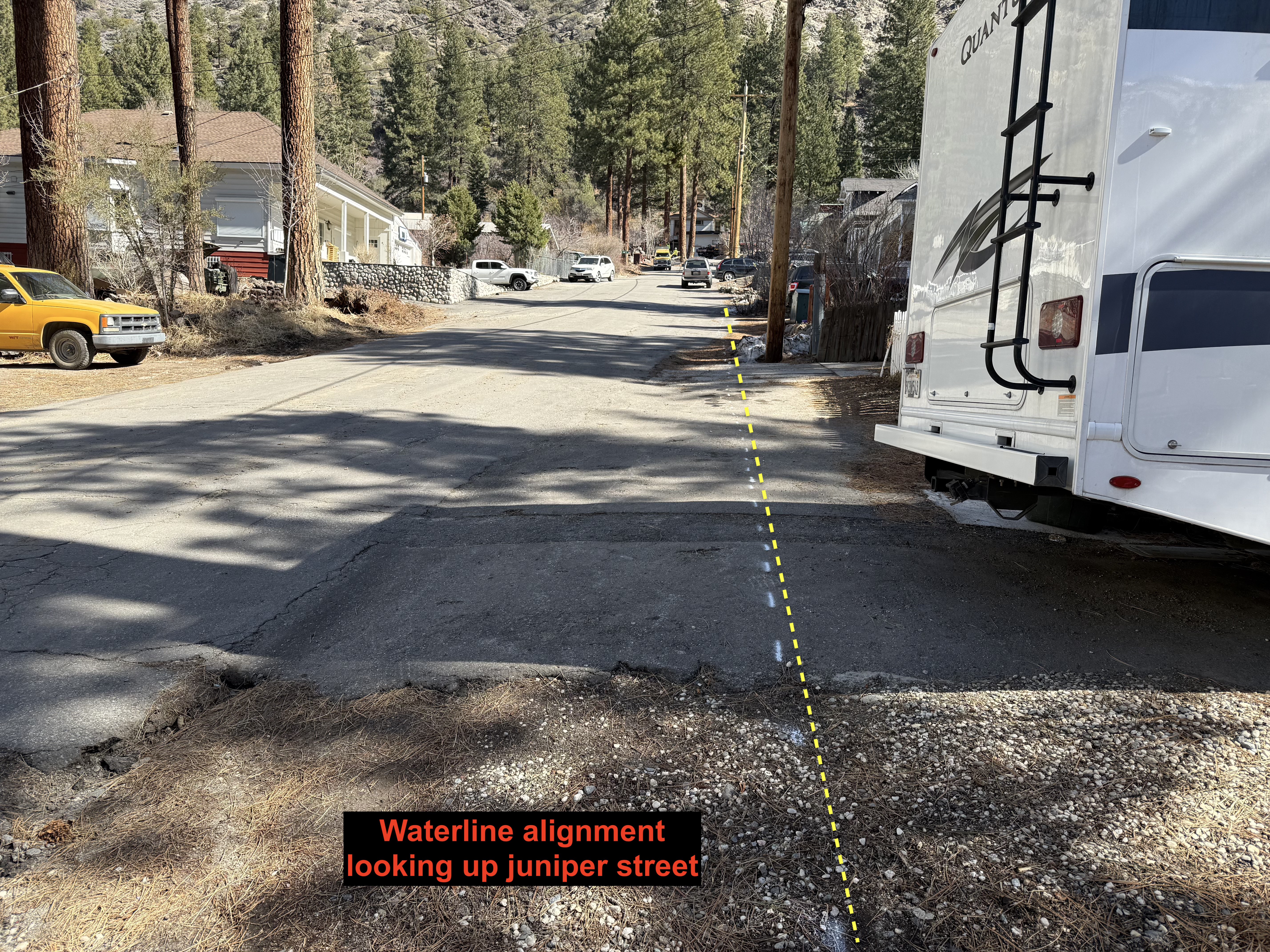
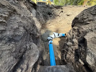
A residential street scene is pictured, with a yellow vehicle on the left and a white RV on the right. A dashed yellow line marks the alignment of a waterline down the street. Trees and houses are visible in the background, with no active construction work or personnel present. The image appears to relate to planning or future construction activities regarding waterline placement.
Equipment & Materials
AI Tags
Analyzed Apr 21, 2026
Nearby Photos
1m
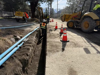
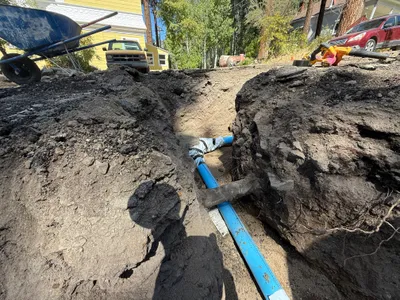
trenching
1m
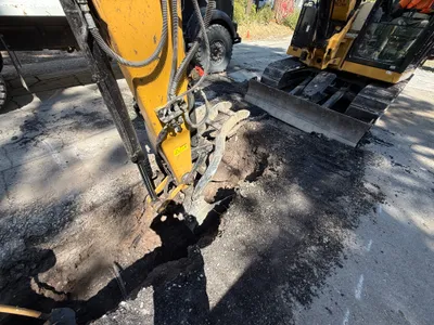
excavation
2m
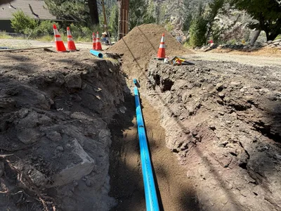
pipeline installation

2m
trenching
2m
trenching
3m
trenching
3m
trenching
3m
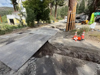
paving surface restoration
3m
pipeline installation
4m
trenching