No caption
IMG_6778.JPG
Details
Monday, March 24, 2025 · 7:28 AM
39.39475, -120.02109· 1660m
Location Context
1 / 5
USGS Topo
No elevation data
FEMA Flood
No flood data
OSM Infra
No address data
USDA Soil
No soil data
USGS Hydro
No hydro data
Apple iPhone 16 Pro
iPhone 16 Pro back triple camera 2.22mm f/2.2
2.220000028611935mmf/2.21/99sISO 125
Flash did not fire, compulsory flash mode
Show all EXIF (43 fields)
ApertureValue2.2750
BrightnessValue3.8595
ColorSpace65535
CompositeImageGeneral Composite Image
ExifImageHeight3024
ExifVersion2.3.2
ExposureCompensation0
ExposureModeAuto
ExposureProgramNormal program
FlashpixVersion1.0
FocalLengthIn35mmFormat14
GPSDateStamp2025:03:24
GPSDestBearing203.5493
GPSDestBearingRefTrue North
GPSHPositioningError4.4955
GPSImgDirection203.5493
GPSImgDirectionRefT
GPSSpeed0.1370
GPSSpeedRefK
GPSTimeStamp14:28:8
HostComputeriPhone 16 Pro
latitude39.3948
LensInfo2.2200, 15.6600, 1.7800, 2.8000
LensMakeApple
longitude-120.0211
MeteringModePattern
ModifyDate2025-03-24T07:28:08.000Z
OffsetTime-07:00
OffsetTimeDigitized-07:00
OffsetTimeOriginal-07:00
ResolutionUnitinches
SceneCaptureTypeStandard
SceneTypeDirectly photographed
SensingMethodOne-chip color area sensor
ShutterSpeedValue6.6325
Software18.4
SubjectArea{"0":2003,"1":1511,"2":2323,"3":1330}
SubSecTimeDigitized805
SubSecTimeOriginal805
WhiteBalanceAuto
XResolution72
YCbCrPositioning1
YResolution72
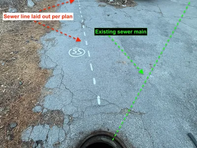
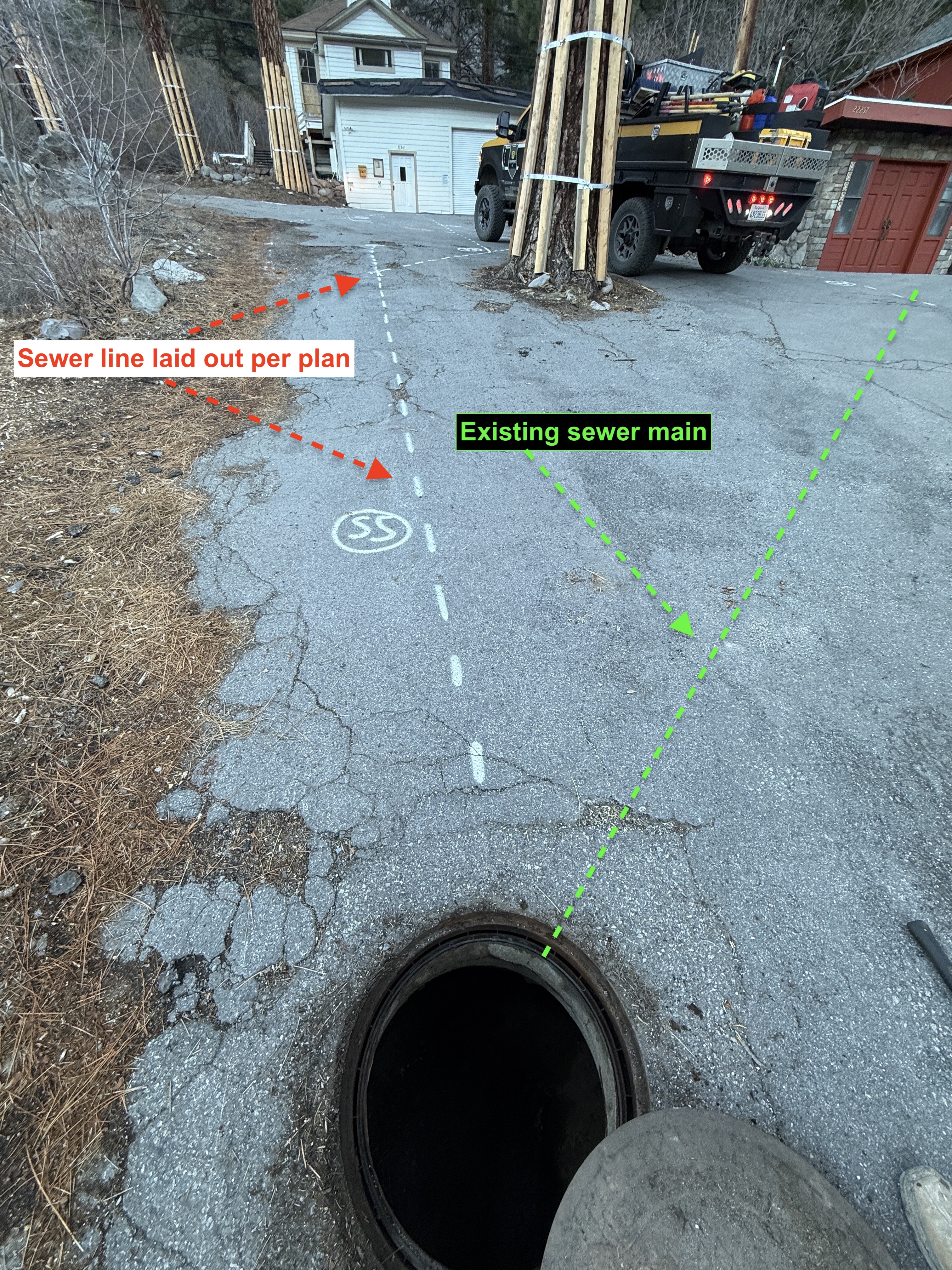
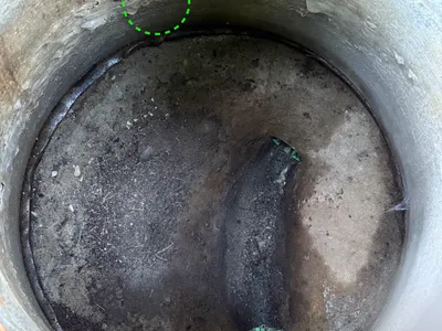
AI Analysis
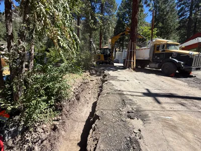
The image shows a paved area with a manhole cover open in the foreground. Dashed white lines with 'SS' markings indicate the planned path of a sewer line. There are labels pointing out the existing sewer main and the new sewer line layout. A utility truck is parked near the end of the marking.
survey-layout
paved cracked surface daytime natural light accessible paved area
Safety features are not visible in frame. Open manhole may pose hazards.
Equipment & Materials
AI Tags
Analyzed Apr 21, 2026
Nearby Photos
0m
trenching
trenchingutility-installation
shovel
1m
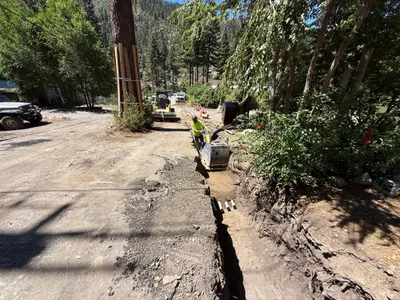
trenching
trenchingexcavation
excavator
1m
trenching
trenchingexcavation
excavator
1m
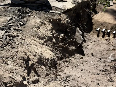
excavation
excavationslope-stabilization
pipes
1m
trenching
trenchingroadside-construction
excavator
1m
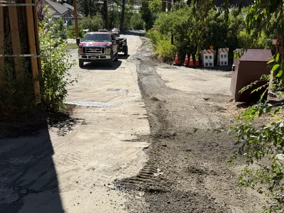
paving surface restoration
pavingsurface-preparation
pickup-truck
1m
inspection documentation
sewer-inspectionmanhole-inspection
sewer-pipe
2m
other
document-reviewindoor-activity
documents
2m
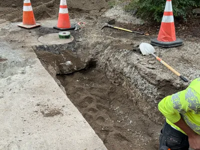
trenching
trenchingmanual-excavation
shovel

3m
trenching
utility-locatingtrench-measuring
tracked-skid-steer