No caption
IMG_8087.JPG
Details
Wednesday, May 28, 2025 · 10:21 AM
39.39421, -120.02262· 1635m
Location Context
1 / 5
USGS Topo
No elevation data
FEMA Flood
No flood data
OSM Infra
No address data
USDA Soil
No soil data
USGS Hydro
No hydro data
Apple iPhone 16 Pro
iPhone 16 Pro back triple camera 15.66mm f/2.8
15.659999847383mmf/2.81/102sISO 64
Flash did not fire, compulsory flash mode
Show all EXIF (44 fields)
ApertureValue2.9709
BrightnessValue5.3500
ColorSpace65535
CompositeImageGeneral Composite Image
DigitalZoomRatio1.0047
ExifImageHeight3024
ExifVersion2.3.2
ExposureCompensation0
ExposureModeAuto
ExposureProgramNormal program
FlashpixVersion1.0
FocalLengthIn35mmFormat121
GPSDateStamp2025:05:28
GPSDestBearing171.2862
GPSDestBearingRefTrue North
GPSHPositioningError3.9655
GPSImgDirection171.2862
GPSImgDirectionRefT
GPSSpeed0.1550
GPSSpeedRefK
GPSTimeStamp17:21:16
HostComputeriPhone 16 Pro
latitude39.3942
LensInfo2.2200, 15.6600, 1.7800, 2.8000
LensMakeApple
longitude-120.0226
MeteringModePattern
ModifyDate2025-05-28T10:21:17.000Z
OffsetTime-07:00
OffsetTimeDigitized-07:00
OffsetTimeOriginal-07:00
ResolutionUnitinches
SceneCaptureTypeStandard
SceneTypeDirectly photographed
SensingMethodOne-chip color area sensor
ShutterSpeedValue6.6777
Software18.5
SubjectArea{"0":2008,"1":1412,"2":2214,"3":1339}
SubSecTimeDigitized871
SubSecTimeOriginal871
WhiteBalanceAuto
XResolution72
YCbCrPositioning1
YResolution72
AI Analysis
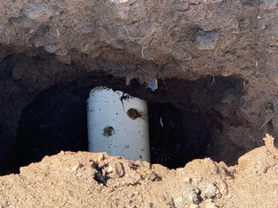
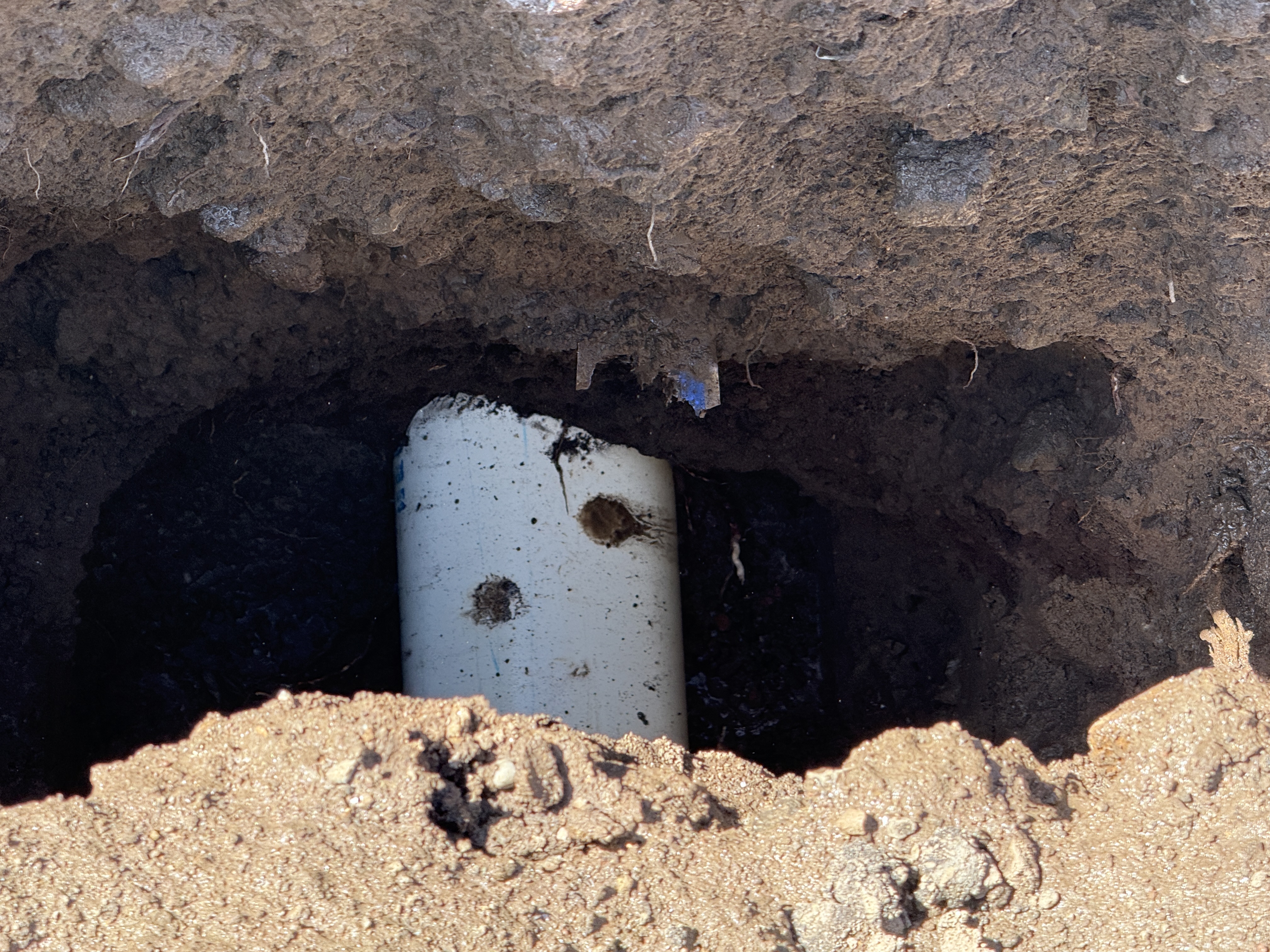
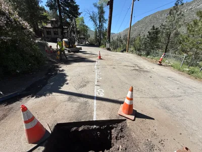
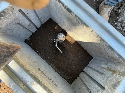
The image features a view into an excavation showing a partially exposed utility pipe protruding from the ground. The surrounding soil is visibly disturbed, with a clear hole dug around the pipe. There is no visible activity happening, but the purpose seems to be locating the utility line.
excavation
soil outdoor daylight open access for further excavation
Safety features are not visible in frame.
Equipment & Materials
Analyzed Apr 21, 2026
Nearby Photos
2m
excavation
pothole-utility-locatingtraffic-cones
mini-excavator
2m
trenching
trenchingsoil-excavation
excavator
2m
excavation
pothole-utility-locatingpotholing
excavator
2m
trenching
trenchingdigging
excavator
3m
paving surface restoration
compactingroad-preparation
excavator
3m
trenching
trenchingexcavation-work
excavator
3m
pipeline installation
pipe-installationtrenching
excavator
3m
trenching
trenchingexcavation
backhoe-loader
3m
mechanical installation
water-meter-installationvault-inspection
soil
4m
excavation
pothole-excavationutility-locating
soil