No caption
IMG_8050.JPG
Details
Tuesday, May 27, 2025 · 9:09 AM
39.39471, -120.02264· 1638m
Location Context
1 / 5
USGS Topo
No elevation data
FEMA Flood
No flood data
OSM Infra
No address data
USDA Soil
No soil data
USGS Hydro
No hydro data
Apple iPhone 16 Pro
iPhone 16 Pro back triple camera 6.765mm f/1.78
6.764999865652793mmf/1.7799999713880651/142sISO 200
Flash did not fire, compulsory flash mode
Show all EXIF (43 fields)
ApertureValue1.6638
BrightnessValue3.4407
ColorSpace65535
CompositeImageGeneral Composite Image
ExifImageHeight3024
ExifVersion2.3.2
ExposureCompensation0
ExposureModeAuto
ExposureProgramNormal program
FlashpixVersion1.0
FocalLengthIn35mmFormat48
GPSDateStamp2025:05:27
GPSDestBearing101.7988
GPSDestBearingRefTrue North
GPSHPositioningError6.6299
GPSImgDirection101.7988
GPSImgDirectionRefT
GPSSpeed0.5504
GPSSpeedRefK
GPSTimeStamp16:9:29
HostComputeriPhone 16 Pro
latitude39.3947
LensInfo2.2200, 15.6600, 1.7800, 2.8000
LensMakeApple
longitude-120.0226
MeteringModePattern
ModifyDate2025-05-27T09:09:31.000Z
OffsetTime-07:00
OffsetTimeDigitized-07:00
OffsetTimeOriginal-07:00
ResolutionUnitinches
SceneCaptureTypeStandard
SceneTypeDirectly photographed
SensingMethodOne-chip color area sensor
ShutterSpeedValue7.1547
Software18.5
SubjectArea{"0":2011,"1":1508,"2":1106,"3":665}
SubSecTimeDigitized238
SubSecTimeOriginal238
WhiteBalanceAuto
XResolution72
YCbCrPositioning1
YResolution72
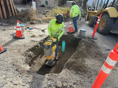
AI Analysis
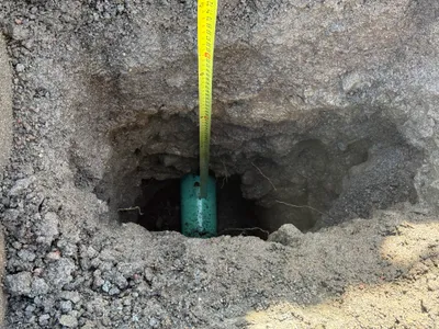
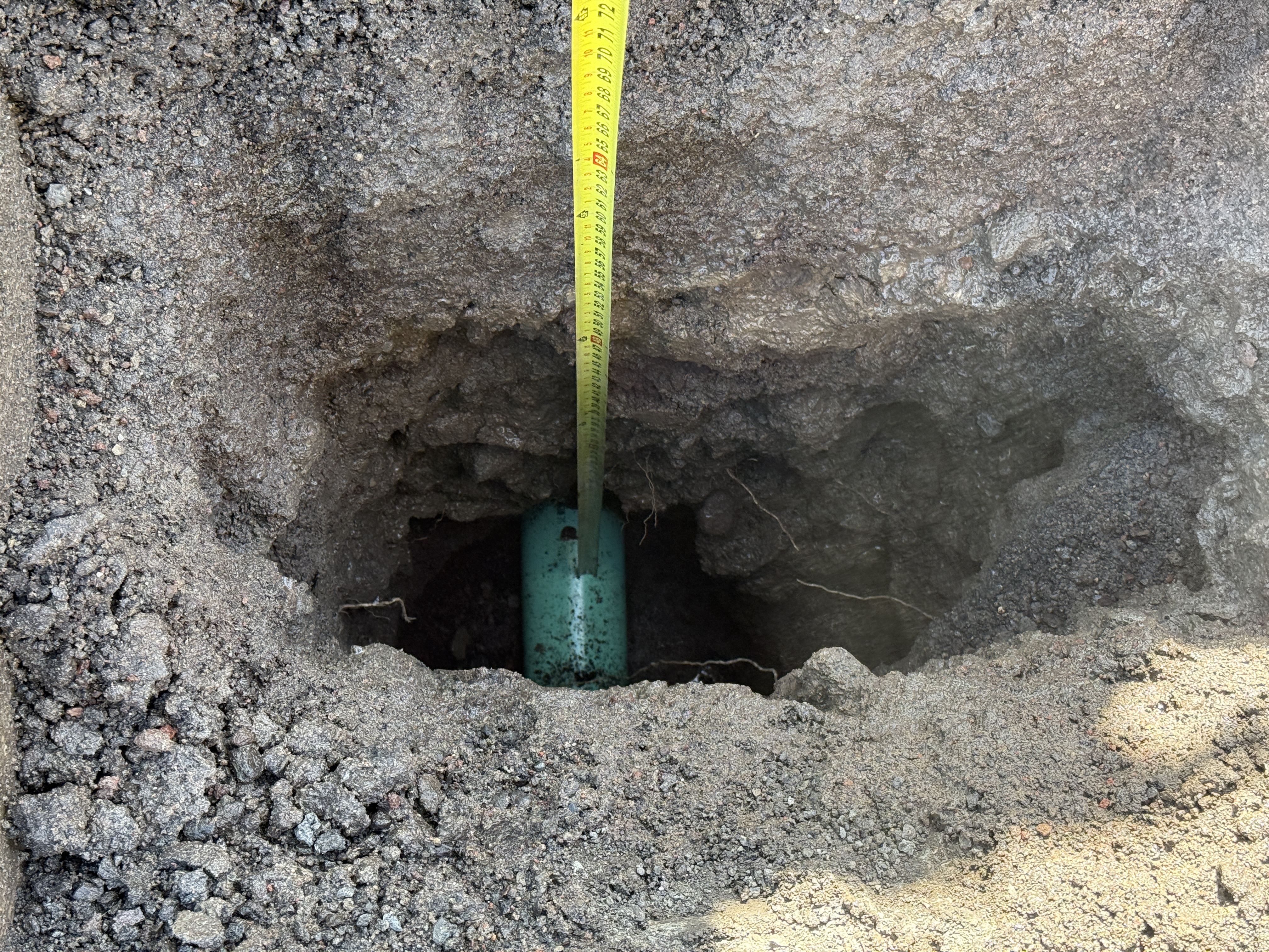
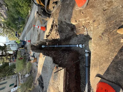
The image displays a pothole with a green pipe exposed, possibly for utility location. A measuring tape is placed vertically against the pipe to measure the depth of excavation. The surrounding soil appears loose and uneven from recent digging activities. There is no visible equipment aside from the measuring tape.
excavation
excavated soil sunny open access to pothole area
Safety features are not visible in the frame.
Equipment & Materials
Analyzed Apr 21, 2026
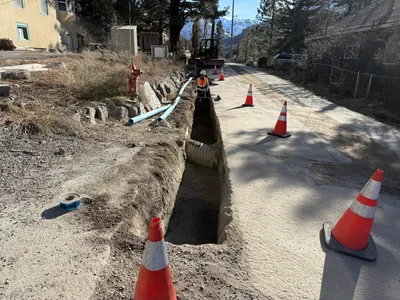
Nearby Photos
1m
trenching
trenchingexcavation-work
excavator
1m
pipeline installation
pipeline-installationvalve-installation
pipes

1m
trenching
trenchingpipe-laying-preparation
skid-steer loader
1m
trenching
soil-compactiontrenching
compactor
2m
other
pothole-utility-locatingvacuum-digging
vacuum-truck
2m
pipeline installation
pipeline-installationconcrete-encasement
concrete
2m
trenching
trenchingroadway-excavation
loader
2m
pipeline installation
pipe-layingtrench-safety
gravel
2m
trenching
trenchingpipe-placement
excavator
2m
paving surface restoration
painted-markingsroad-signage
cars